48 Cape Cir Addison, ME 04606
Estimated Value: $548,547 - $955,000
2
Beds
1
Bath
1,350
Sq Ft
$526/Sq Ft
Est. Value
About This Home
This home is located at 48 Cape Cir, Addison, ME 04606 and is currently estimated at $709,887, approximately $525 per square foot. 48 Cape Cir is a home located in Washington County.
Create a Home Valuation Report for This Property
The Home Valuation Report is an in-depth analysis detailing your home's value as well as a comparison with similar homes in the area
Tax History
| Year | Tax Paid | Tax Assessment Tax Assessment Total Assessment is a certain percentage of the fair market value that is determined by local assessors to be the total taxable value of land and additions on the property. | Land | Improvement |
|---|---|---|---|---|
| 2025 | $7,444 | $385,700 | $300,600 | $85,100 |
| 2024 | $7,220 | $385,700 | $300,600 | $85,100 |
| 2023 | $6,642 | $385,700 | $300,600 | $85,100 |
| 2022 | $6,165 | $371,400 | $286,300 | $85,100 |
| 2021 | $6,165 | $371,400 | $286,300 | $85,100 |
| 2020 | $5,914 | $369,600 | $286,300 | $83,300 |
| 2019 | $5,877 | $369,600 | $286,300 | $83,300 |
| 2018 | $5,877 | $369,600 | $286,300 | $83,300 |
| 2017 | $5,877 | $369,600 | $286,300 | $83,300 |
| 2016 | $5,396 | $369,600 | $286,300 | $83,300 |
| 2015 | $5,367 | $374,000 | $286,300 | $87,700 |
| 2014 | $5,012 | $374,000 | $286,300 | $87,700 |
| 2013 | $4,690 | $375,200 | $286,300 | $88,900 |
Source: Public Records
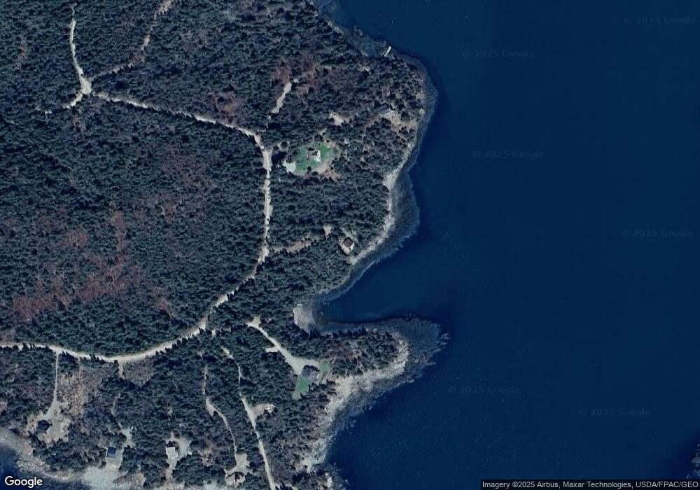
Map
Nearby Homes
- 397 Cape Split Rd
- 00 Eagle Island
- 780 E Side Rd
- M17L21 Basin Rd
- map 17 Basin Rd Unit lot 24
- 0 Pomp Island Unit 1652405
- 251 Ripley Neck Rd
- Lot 15-5 Fort Williams Rd
- Lot # 15-2 Fort Williams Rd
- Lot B Fort Williams Rd
- 29 Reef Point Rd
- Lot 13 Reef Point Rd
- Lot 12 Reef Point Rd
- M20L2 E Side Rd
- 100 Hardwood Point
- Lot 2 Seaduck Rd
- 16 & 18 Nelson Way
- 33 Barneys Cove Rd
- Lot 25-3 Flat Bay Dr
- 52 Main St
Your Personal Tour Guide
Ask me questions while you tour the home.