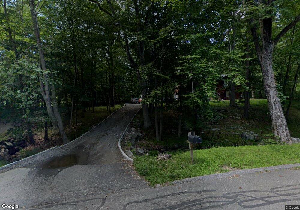
48 Pheasant Ridge Rd Redding, CT 06896
Estimated Value: $646,767 - $1,003,000
3
Beds
3
Baths
2,700
Sq Ft
$326/Sq Ft
Est. Value
About This Home
This home is located at 48 Pheasant Ridge Rd, Redding, CT 06896 and is currently estimated at $878,942, approximately $325 per square foot. 48 Pheasant Ridge Rd is a home located in Fairfield County with nearby schools including Redding Elementary School, John Read Middle School, and Joel Barlow High School.
Ownership History
Date
Name
Owned For
Owner Type
Purchase Details
Closed on
Dec 16, 2003
Sold by
Otteson Christian
Bought by
Mcnamara Kevin and Sandall Lauren
Current Estimated Value
Home Financials for this Owner
Home Financials are based on the most recent Mortgage that was taken out on this home.
Original Mortgage
$260,000
Interest Rate
5.9%
Create a Home Valuation Report for This Property
The Home Valuation Report is an in-depth analysis detailing your home's value as well as a comparison with similar homes in the area
Home Values in the Area
Average Home Value in this Area
Purchase History
We collect this data history from publicly available records. To have your information removed, we recommend requesting removal directly through your county’s website.
| Date | Buyer | Sale Price | Title Company |
|---|---|---|---|
| Mcnamara Kevin | $510,000 | -- |
Source: Public Records
Mortgage History
We collect this data history from publicly available records. To have your information removed, we recommend requesting removal directly through your county’s website.
| Date | Status | Borrower | Loan Amount |
|---|---|---|---|
| Open | Mcnamara Kevin | $234,000 | |
| Closed | Mcnamara Kevin | $58,400 | |
| Closed | Mcnamara Kevin | $235,000 | |
| Closed | Mcnamara Kevin | $260,000 |
Source: Public Records
Tax History
| Year | Tax Paid | Tax Assessment Tax Assessment Total Assessment is a certain percentage of the fair market value that is determined by local assessors to be the total taxable value of land and additions on the property. | Land | Improvement |
|---|---|---|---|---|
| 2025 | $10,044 | $340,000 | $140,000 | $200,000 |
| 2024 | $9,765 | $340,000 | $140,000 | $200,000 |
| 2023 | $9,415 | $340,000 | $140,000 | $200,000 |
| 2022 | $8,975 | $269,200 | $151,200 | $118,000 |
| 2021 | $17,291 | $269,200 | $151,200 | $118,000 |
| 2020 | $8,841 | $269,200 | $151,200 | $118,000 |
| 2019 | $8,841 | $269,200 | $151,200 | $118,000 |
| 2018 | $5,028 | $269,200 | $151,200 | $118,000 |
| 2017 | $90,011 | $245,400 | $151,600 | $93,800 |
| 2016 | $7,175 | $245,400 | $151,600 | $93,800 |
| 2015 | $7,095 | $245,400 | $151,600 | $93,800 |
| 2014 | $7,095 | $245,400 | $151,600 | $93,800 |
Source: Public Records
Map
Nearby Homes
- 5 Musket Ln
- 138 Putnam Park Rd
- 44 High Ridge Rd
- 42 Starr Ln
- 98 Hopewell Woods Rd
- 2 Longwood Dr
- 13 Aunt Pattys Ln W
- 65 Nashville Road Extension
- 4 Stone Dam Rd
- 5 Iris Ln
- 88 Putnam Park Rd
- 16 Farm Meadow Rd
- 24 Costa Ln
- 6 Winding Brook Ct
- 21 Split Rock Rd
- 7 Long Meadow Ln
- 4 Vona Way
- 3 Old Dodgingtown Rd
- 27 Nashville Road Extension
- 6 Vona Way
- 44 Pheasant Ridge Rd
- 50 Pheasant Ridge Rd
- 46 Pheasant Ridge Rd
- 52 Pheasant Ridge Rd
- 42 Pheasant Ridge Rd
- 56 Pheasant Ridge Rd
- 30 Wood Rd
- 32 Wood Rd
- 22 Wood Rd
- 39 Pheasant Ridge Rd
- 40 Pheasant Ridge Rd
- 51 Pheasant Ridge Rd
- 20 Wood Rd
- 28 Wood Rd
- 33 Pheasant Ridge Rd
- 61 Pheasant Ridge Rd
- 18 Wood Rd
- 38 Pheasant Ridge Rd
- 24 Wood Rd
- 34 Wood Rd
Your Personal Tour Guide
Ask me questions while you tour the home.