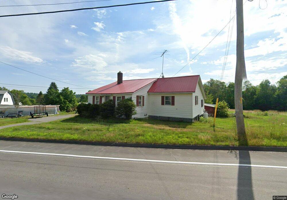
48 Unity Rd Thorndike, ME 04986
Estimated Value: $129,000 - $215,000
About This Home
This home is located at 48 Unity Rd, Thorndike, ME 04986 and is currently estimated at $173,651. 48 Unity Rd is a home located in Waldo County with nearby schools including Mt. View Middle School, Mt. View High School, and Ecology Learning Center.
Ownership History
We collect this data history from publicly available records. To have your information removed, we recommend requesting removal directly through your county’s website.
Purchase Details
Home Financials for this Owner
Home Financials are based on the most recent Mortgage that was taken out on this home.Purchase History
We collect this data history from publicly available records. To have your information removed, we recommend requesting removal directly through your county’s website.
| Date | Buyer | Sale Price | Title Company |
|---|---|---|---|
| -- | -- |
Mortgage History
We collect this data history from publicly available records. To have your information removed, we recommend requesting removal directly through your county’s website.
| Date | Status | Borrower | Loan Amount |
|---|---|---|---|
| Closed | $86,400 |
Tax History
We collect this data history from publicly available records. To have your information removed, we recommend requesting removal directly through your county’s website.
| Year | Tax Paid | Tax Assessment Tax Assessment Total Assessment is a certain percentage of the fair market value that is determined by local assessors to be the total taxable value of land and additions on the property. | Land | Improvement |
|---|---|---|---|---|
| 2025 | $2,254 | $117,080 | $40,130 | $76,950 |
| 2024 | $2,166 | $117,080 | $40,130 | $76,950 |
| 2023 | $2,049 | $117,080 | $40,130 | $76,950 |
| 2022 | $2,049 | $117,080 | $40,130 | $76,950 |
| 2021 | $2,287 | $96,492 | $40,000 | $56,492 |
| 2020 | $2,383 | $96,492 | $40,000 | $56,492 |
| 2019 | $2,383 | $96,492 | $40,000 | $56,492 |
| 2018 | $2,316 | $96,492 | $40,000 | $56,492 |
| 2017 | $2,383 | $96,492 | $40,000 | $56,492 |
| 2016 | $1,833 | $96,492 | $40,000 | $56,492 |
| 2014 | $1,467 | $96,492 | $40,000 | $56,492 |
| 2013 | $1,399 | $96,492 | $40,000 | $56,492 |
| 2010 | $1,004 | $86,219 | $0 | $0 |
Map
- M11L10 Gordon Hill Rd
- Lot 17 Off E Thorndike Rd
- Lot 12 Moulton Hill Ln
- Lot 13 Moulton Hill Ln
- 117 Clark Rd
- 1535 Bailey Rd
- Pond View Subdivision Us-202
- Lot 3-1 Bryant Rd
- 23 Bangor Rd
- 39 High St
- 194 E Gulch Rd
- 126 Newell Ct
- Map6 Lot#1 Reid Rd
- Lot 45-1 Maine 220
- 140 Pleasant St
- 13 Chestnut St
- 672 & 700 Brooks Rd
- 7 Apple Ln
- Lot 56 Bailey Rd
- 391 School St
- 57 Unity Rd
- 27 Stove Pipe Aly
- 28 Unity Rd
- 11 Stovepipe Aly
- 53 Unity Rd
- 45 Unity Rd
- 33 Unity Rd
- 0 Rte 220
- Rt220 Route 220
- 29 Depot St
- 14 Gordon Hill Rd
- 0 Gordon Hill Rd
- 0 Lot 10 01 Mount View
- Lot 7 Mount View Rd
- Lot 3 Mount View Rd
- Lot 5 Mount View Rd
- 0 Mount View
- Lot 2 Mount View Rd
- Lot 4 Mount View Rd
- 23 Depot St
Ask me questions while you tour the home.