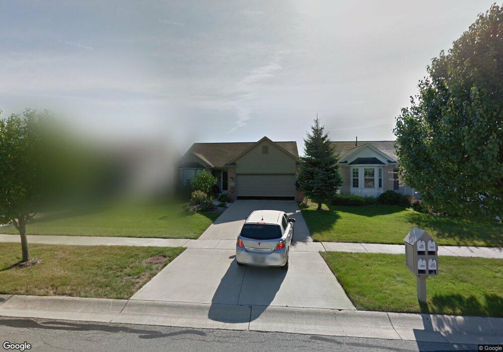
4801 Port Dr Maumee, OH 43537
Estimated Value: $279,535 - $315,000
About This Home
This home is located at 4801 Port Dr, Maumee, OH 43537 and is currently estimated at $296,884, approximately $201 per square foot. 4801 Port Dr is a home located in Lucas County with nearby schools including Anthony Wayne High School, St Joseph Catholic School, and Monclova Christian Academy.
Ownership History
We collect this data history from publicly available records. To have your information removed, we recommend requesting removal directly through your county’s website.
Purchase Details
Home Financials for this Owner
Home Financials are based on the most recent Mortgage that was taken out on this home.Home Values in the Area
Average Home Value in this Area
Purchase History
We collect this data history from publicly available records. To have your information removed, we recommend requesting removal directly through your county’s website.
| Date | Buyer | Sale Price | Title Company |
|---|---|---|---|
| $28,900 | Louisville Title Agency For |
Mortgage History
We collect this data history from publicly available records. To have your information removed, we recommend requesting removal directly through your county’s website.
| Date | Status | Borrower | Loan Amount |
|---|---|---|---|
| Closed | $197,200 |
Tax History
We collect this data history from publicly available records. To have your information removed, we recommend requesting removal directly through your county’s website.
| Year | Tax Paid | Tax Assessment Tax Assessment Total Assessment is a certain percentage of the fair market value that is determined by local assessors to be the total taxable value of land and additions on the property. | Land | Improvement |
|---|---|---|---|---|
| 2025 | -- | $81,410 | $16,905 | $64,505 |
| 2024 | $1,907 | $81,410 | $16,905 | $64,505 |
| 2023 | $3,565 | $68,740 | $13,545 | $55,195 |
| 2022 | $3,564 | $68,740 | $13,545 | $55,195 |
| 2021 | $3,493 | $68,740 | $13,545 | $55,195 |
| 2020 | $3,293 | $59,325 | $11,375 | $47,950 |
| 2019 | $3,202 | $59,325 | $11,375 | $47,950 |
| 2018 | $3,034 | $59,325 | $11,375 | $47,950 |
| 2017 | $3,033 | $54,600 | $12,705 | $41,895 |
| 2016 | $3,004 | $156,000 | $36,300 | $119,700 |
| 2015 | $2,880 | $156,000 | $36,300 | $119,700 |
| 2014 | $2,734 | $52,990 | $12,320 | $40,670 |
| 2013 | $2,734 | $52,990 | $12,320 | $40,670 |
Map
- 4751 Port Dr
- 4703 Lakeside Dr
- 7008 Longwater Dr
- 4845 Waterbury Ln
- 7101 Offshore Dr
- 7135 Elli Harbour Ln
- 4973 Lake Breeze Ln
- 4530 Cam Bay Ct
- 4339 Sage St
- 4402 Sage St
- 7392 Anchorage Dr
- 4257 Waterbend Dr E
- 7261 Rolling Meadow Ln
- 4455 Post Office Cir
- 4816 Cabriolet Ln
- 4218 Herdmans Cir
- 4369 Post Office Cir Unit 17
- 4346 Post Office Cir
- 4321 Post Office Cir
- 4950 Buckeye Dr
Ask me questions while you tour the home.