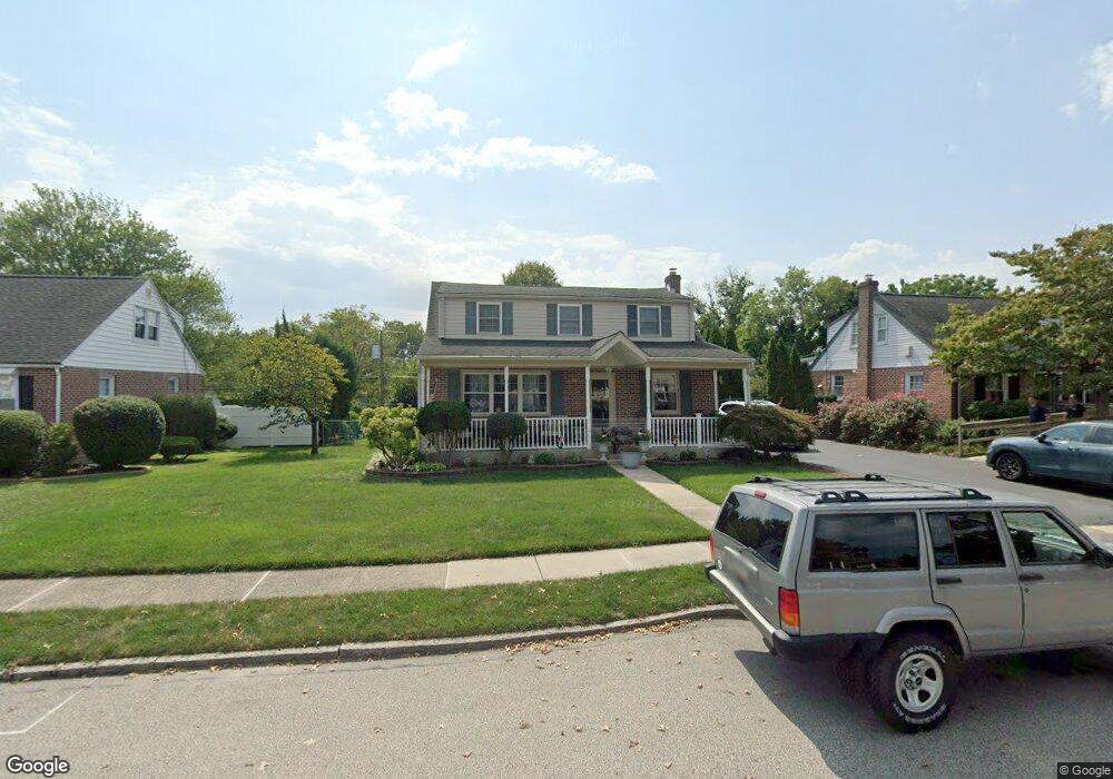
481 Barker Rd Springfield, PA 19064
Estimated Value: $477,104 - $504,000
3
Beds
2
Baths
2,072
Sq Ft
$235/Sq Ft
Est. Value
About This Home
This home is located at 481 Barker Rd, Springfield, PA 19064 and is currently estimated at $487,526, approximately $235 per square foot. 481 Barker Rd is a home located in Delaware County with nearby schools including Springfield High School and St Francis Of Assisi School.
Ownership History
Date
Name
Owned For
Owner Type
Purchase Details
Closed on
Feb 23, 1994
Sold by
Chua Properties Pte Ltd
Bought by
Tolvaisa Stanley M and Tolvaisa Denise
Current Estimated Value
Home Financials for this Owner
Home Financials are based on the most recent Mortgage that was taken out on this home.
Original Mortgage
$126,000
Interest Rate
6.96%
Create a Home Valuation Report for This Property
The Home Valuation Report is an in-depth analysis detailing your home's value as well as a comparison with similar homes in the area
Home Values in the Area
Average Home Value in this Area
Purchase History
| Date | Buyer | Sale Price | Title Company |
|---|---|---|---|
| Tolvaisa Stanley M | $140,000 | Penn Title Insurance Company |
Source: Public Records
Mortgage History
| Date | Status | Borrower | Loan Amount |
|---|---|---|---|
| Closed | Tolvaisa Stanley M | $126,000 |
Source: Public Records
Tax History
| Year | Tax Paid | Tax Assessment Tax Assessment Total Assessment is a certain percentage of the fair market value that is determined by local assessors to be the total taxable value of land and additions on the property. | Land | Improvement |
|---|---|---|---|---|
| 2025 | $8,247 | $293,410 | $95,520 | $197,890 |
| 2024 | $8,247 | $293,410 | $95,520 | $197,890 |
| 2023 | $7,941 | $293,410 | $95,520 | $197,890 |
| 2022 | $7,769 | $293,410 | $95,520 | $197,890 |
| 2021 | $12,032 | $293,410 | $95,520 | $197,890 |
| 2020 | $7,691 | $169,735 | $45,920 | $123,815 |
| 2019 | $7,511 | $169,735 | $45,920 | $123,815 |
| 2018 | $7,403 | $169,735 | $0 | $0 |
| 2017 | $7,232 | $169,735 | $0 | $0 |
| 2016 | $931 | $169,735 | $0 | $0 |
| 2015 | $931 | $169,735 | $0 | $0 |
| 2014 | $931 | $169,735 | $0 | $0 |
Source: Public Records
Map
Nearby Homes
- 493 Wheatsheaf Rd
- 231 E Woodland Ave
- 720 Evans Rd
- 933 Greenbriar Ln
- 658 E Leamy Ave
- 364 S Rolling Rd
- 264 Pancoast Ave
- 253 Saxer Ave
- 114 Providence Rd
- 249 Gleaves Rd
- 1363 Palmer Dr Unit O122
- 334 Parham Rd
- 1291 Country Club Dr Unit Q137
- 525 N Swarthmore Ave
- 507 School St
- 359 Spring Valley Rd
- 225 Lynbrooke Rd
- 1588 Nicklaus Dr Unit H65
- 519 Walnut Ln Unit 1
- 238 Alliston Rd
- 475 Barker Rd
- 485 Barker Rd
- 482 Granite Terrace
- 471 Barker Rd
- 478 Granite Terrace
- 488 Granite Terrace
- 409 E Thomson Ave
- 478 Barker Rd
- 493 Barker Rd
- 474 Granite Terrace
- 465 Barker Rd
- 484 Barker Rd
- 498 Granite Terrace
- 472 Barker Rd
- 468 Granite Terrace
- 315 E Thompson Ave
- 315 E Thomson Ave
- 466 Barker Rd
- 461 Barker Rd
- 464 Granite Terrace
Your Personal Tour Guide
Ask me questions while you tour the home.