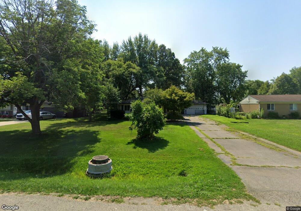
48106 Pheasant St Chesterfield, MI 48047
Estimated Value: $237,790 - $352,000
About This Home
This home is located at 48106 Pheasant St, Chesterfield, MI 48047 and is currently estimated at $288,198, approximately $237 per square foot. 48106 Pheasant St is a home located in Macomb County with nearby schools including Dean A. Naldrett School, Anchor Bay Middle School South, and Anchor Bay High School.
Ownership History
We collect this data history from publicly available records. To have your information removed, we recommend requesting removal directly through your county’s website.
Purchase Details
Home Financials for this Owner
Home Financials are based on the most recent Mortgage that was taken out on this home.Purchase Details
Home Values in the Area
Average Home Value in this Area
Purchase History
We collect this data history from publicly available records. To have your information removed, we recommend requesting removal directly through your county’s website.
| Date | Buyer | Sale Price | Title Company |
|---|---|---|---|
| $175,000 | Amrock Llc | ||
| $166,000 | -- |
Mortgage History
We collect this data history from publicly available records. To have your information removed, we recommend requesting removal directly through your county’s website.
| Date | Status | Borrower | Loan Amount |
|---|---|---|---|
| Open | $171,830 |
Tax History
We collect this data history from publicly available records. To have your information removed, we recommend requesting removal directly through your county’s website.
| Year | Tax Paid | Tax Assessment Tax Assessment Total Assessment is a certain percentage of the fair market value that is determined by local assessors to be the total taxable value of land and additions on the property. | Land | Improvement |
|---|---|---|---|---|
| 2025 | $1,571 | $122,900 | $0 | $0 |
| 2024 | $15 | $116,500 | $0 | $0 |
| 2023 | $1,449 | $99,600 | $0 | $0 |
| 2022 | $2,402 | $92,600 | $0 | $0 |
| 2021 | $2,306 | $89,200 | $0 | $0 |
| 2020 | $1,315 | $83,800 | $0 | $0 |
| 2019 | $2,134 | $80,200 | $0 | $0 |
| 2018 | $2,092 | $77,600 | $16,200 | $61,400 |
| 2017 | $2,048 | $72,050 | $16,150 | $55,900 |
| 2016 | $2,044 | $72,050 | $0 | $0 |
| 2015 | $950 | $63,900 | $0 | $0 |
| 2014 | $950 | $61,650 | $13,650 | $48,000 |
| 2012 | -- | $0 | $0 | $0 |
Map
- 48132 Pheasant St
- 48297 Mallard Dr
- 47900 Jefferson Ave
- 47816 Jefferson Ave
- 29760 Red Fox Ln
- 29745 Red Fox Ln
- 47645 Burlingame Dr
- 29700 Red Fox Ln
- 29736 Red Fox Ln
- 48484 Jefferson Ave
- 48526 Jefferson Ave
- 47630 Lorie Ln Unit 9
- 45440 Jefferson Ave
- 29213 Rachid Ln
- 29043 Bay Pointe Dr
- 47339 Jefferson Ave
- 50467 Peggy Ln
- 00 N Cotton Rd
- 29371 Bayside Cir N
- 32159 Riverpoint St
- 48096 Pheasant St
- 48118 Pheasant St
- 48084 Pheasant St
- 48070 Pheasant St
- 48146 Pheasant St Unit visit williamsauctio
- 48146 Pheasant St
- 48146 Pheasant St Unit visit williamsaucti
- 48103 Pheasant St
- 48111 Pheasant St
- 48083 Pheasant St
- 48093 Pheasant St
- 48056 Pheasant St
- 48121 Pheasant St
- 48160 Pheasant St
- 48091 Book Ct
- 48131 Pheasant St
- 48101 Book Ct
- 48081 Book Ct
- 48046 Pheasant St
- 48174 Pheasant St
Ask me questions while you tour the home.