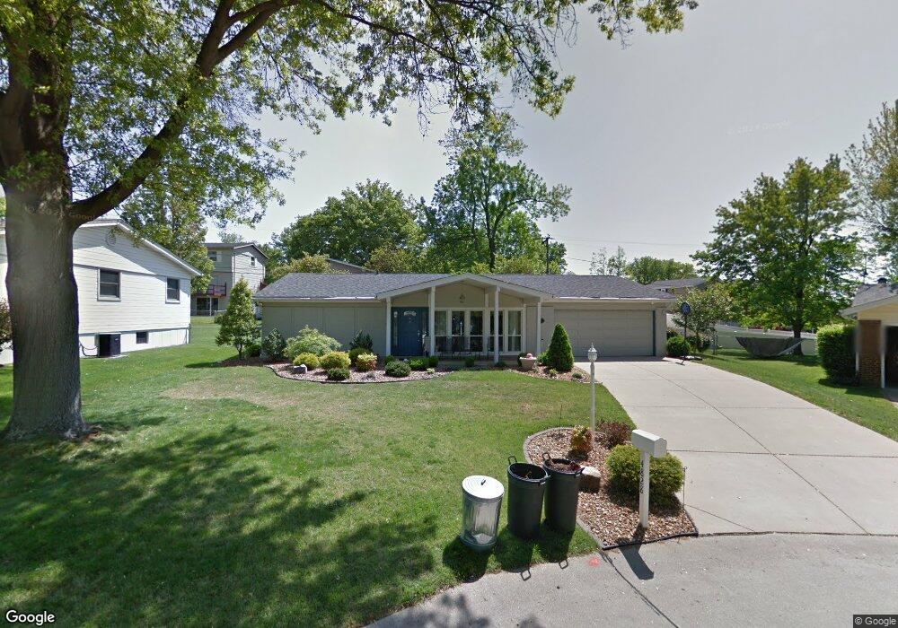
4828 Morestead Dr Saint Louis, MO 63128
Estimated Value: $303,384 - $346,000
About This Home
This home is located at 4828 Morestead Dr, Saint Louis, MO 63128 and is currently estimated at $331,596, approximately $194 per square foot. 4828 Morestead Dr is a home located in St. Louis County with nearby schools including Kennerly Elementary School, Sperreng Middle School, and Lindbergh High School.
Ownership History
We collect this data history from publicly available records. To have your information removed, we recommend requesting removal directly through your county’s website.
Purchase Details
Purchase Details
Home Financials for this Owner
Home Financials are based on the most recent Mortgage that was taken out on this home.Purchase Details
Home Values in the Area
Average Home Value in this Area
Purchase History
We collect this data history from publicly available records. To have your information removed, we recommend requesting removal directly through your county’s website.
| Date | Buyer | Sale Price | Title Company |
|---|---|---|---|
| $164,900 | -- | ||
| $137,500 | -- | ||
| -- | -- |
Mortgage History
We collect this data history from publicly available records. To have your information removed, we recommend requesting removal directly through your county’s website.
| Date | Status | Borrower | Loan Amount |
|---|---|---|---|
| Previous Owner | $104,000 |
Tax History
We collect this data history from publicly available records. To have your information removed, we recommend requesting removal directly through your county’s website.
| Year | Tax Paid | Tax Assessment Tax Assessment Total Assessment is a certain percentage of the fair market value that is determined by local assessors to be the total taxable value of land and additions on the property. | Land | Improvement |
|---|---|---|---|---|
| 2025 | $3,099 | $53,370 | $15,260 | $38,110 |
| 2024 | $3,099 | $47,540 | $15,260 | $32,280 |
| 2023 | $3,091 | $47,540 | $15,260 | $32,280 |
| 2022 | $2,403 | $35,380 | $15,260 | $20,120 |
| 2021 | $2,318 | $35,380 | $15,260 | $20,120 |
| 2020 | $2,101 | $30,900 | $15,260 | $15,640 |
| 2019 | $2,096 | $30,900 | $15,260 | $15,640 |
| 2018 | $2,216 | $29,740 | $9,310 | $20,430 |
| 2017 | $2,192 | $29,740 | $9,310 | $20,430 |
| 2016 | $1,995 | $25,670 | $8,470 | $17,200 |
| 2015 | $1,965 | $25,670 | $8,470 | $17,200 |
| 2014 | $2,236 | $28,990 | $7,560 | $21,430 |
Map
- 4817 Bankfield Ct
- 4684 Venarde Dr
- 4833 Mattis Rd
- 5044 Tealby Ln
- 5032 Kempf Dr
- 5105 Worthington Terrace Unit 42
- 4905 Milsmar Dr
- 12430 Somerset Place Dr
- 12401 Somerset Place Dr Unit E
- 12415 Somerset Place Dr Unit F
- 12364 Worthington Dr
- 4657 Skyridge Ct
- 12586 Chardin Place Unit 4
- 12574 Chardin Place Unit 4
- 4902 Brunston Dr
- 4513 Du Bourg Ln
- 12587 Chardin Place Unit 4
- 10017 Chardin Way Unit 3
- 12823 Tammy Kay Dr
- 4882 Arevalo Dr
- 4822 Morestead Dr
- 4823 Towne South Rd
- 4834 Morestead Dr
- 4829 Towne South Rd
- 4817 Towne South Rd
- 4817 Towne Rd S
- 4816 Morestead Dr
- 4840 Morestead Dr
- 4835 Towne South Rd
- 4827 Morestead Dr
- 4821 Morestead Dr
- 4833 Morestead Dr
- 4811 Towne South Rd
- 4808 Morestead Dr
- 4815 Morestead Dr
- 4915 Brockwood Dr
- 4921 Brockwood Dr
- 4909 Brockwood Dr
- 4927 Brockwood Dr
- 4933 Brockwood Dr
Ask me questions while you tour the home.