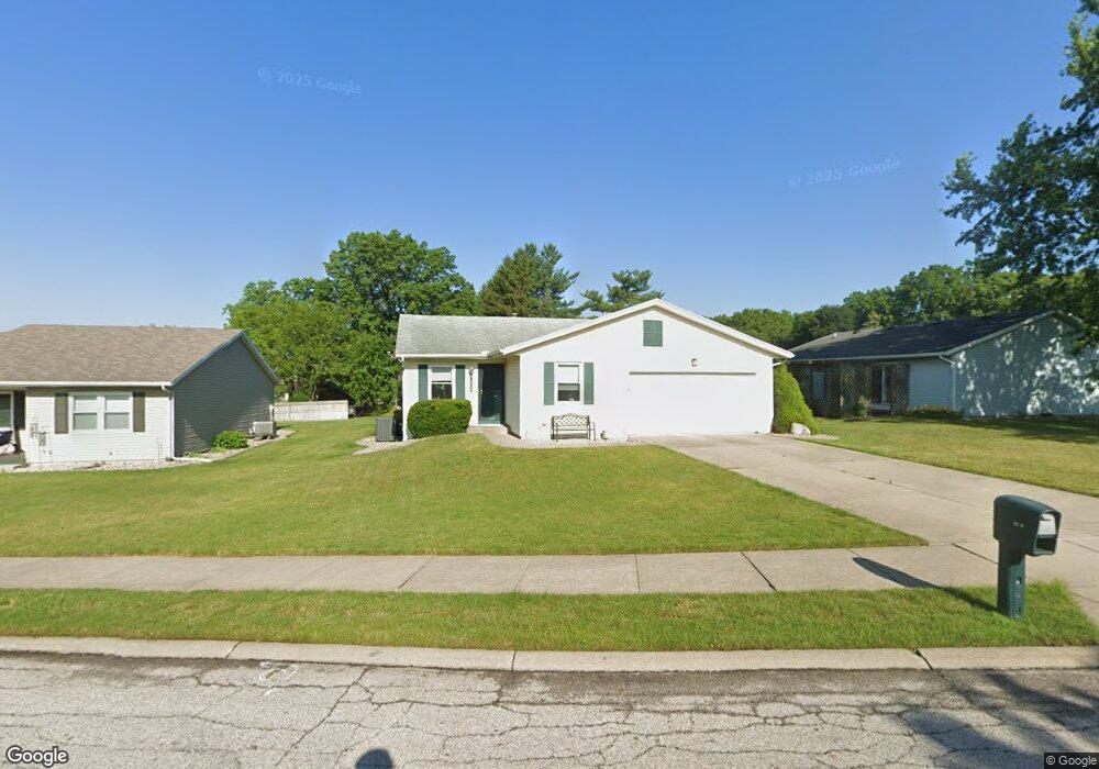
4833 Brora Dr South Bend, IN 46614
Scottsdale NeighborhoodEstimated Value: $218,000 - $254,462
2
Beds
2
Baths
1,464
Sq Ft
$160/Sq Ft
Est. Value
About This Home
This home is located at 4833 Brora Dr, South Bend, IN 46614 and is currently estimated at $234,366, approximately $160 per square foot. 4833 Brora Dr is a home located in St. Joseph County with nearby schools including Marshall Traditional School, Clay Intermediate Center, and Monroe Elementary School.
Ownership History
Date
Name
Owned For
Owner Type
Purchase Details
Closed on
Jun 29, 2010
Sold by
Imus Harold and Imus Marlene
Bought by
Molnar Nancy
Current Estimated Value
Purchase Details
Closed on
Jul 30, 2008
Sold by
Sobczyk Helen
Bought by
Imus Harold and Imus Marlene
Home Financials for this Owner
Home Financials are based on the most recent Mortgage that was taken out on this home.
Original Mortgage
$96,000
Interest Rate
6.1%
Mortgage Type
New Conventional
Purchase Details
Closed on
Jun 27, 2008
Sold by
Underly Eleanor L
Bought by
Sobczyk Helen T
Home Financials for this Owner
Home Financials are based on the most recent Mortgage that was taken out on this home.
Original Mortgage
$96,000
Interest Rate
6.1%
Mortgage Type
New Conventional
Create a Home Valuation Report for This Property
The Home Valuation Report is an in-depth analysis detailing your home's value as well as a comparison with similar homes in the area
Home Values in the Area
Average Home Value in this Area
Purchase History
| Date | Buyer | Sale Price | Title Company |
|---|---|---|---|
| Molnar Nancy | -- | Meridian Title Corp | |
| Imus Harold | -- | None Available | |
| Sobczyk Helen T | -- | Metropolitan Title In Llc |
Source: Public Records
Mortgage History
| Date | Status | Borrower | Loan Amount |
|---|---|---|---|
| Previous Owner | Sobczyk Helen T | $96,000 |
Source: Public Records
Tax History
| Year | Tax Paid | Tax Assessment Tax Assessment Total Assessment is a certain percentage of the fair market value that is determined by local assessors to be the total taxable value of land and additions on the property. | Land | Improvement |
|---|---|---|---|---|
| 2025 | $2,920 | $255,200 | $33,800 | $221,400 |
| 2024 | $1,924 | $248,700 | $33,800 | $214,900 |
| 2023 | $1,957 | $166,900 | $33,800 | $133,100 |
| 2022 | $1,957 | $224,400 | $45,000 | $179,400 |
| 2021 | $2,240 | $185,900 | $22,100 | $163,800 |
| 2020 | $1,841 | $157,100 | $19,600 | $137,500 |
| 2019 | $1,601 | $156,600 | $19,100 | $137,500 |
| 2018 | $1,272 | $111,700 | $15,400 | $96,300 |
| 2017 | $1,336 | $108,900 | $15,400 | $93,500 |
| 2016 | $1,358 | $108,900 | $15,400 | $93,500 |
| 2014 | $1,514 | $109,900 | $7,300 | $102,600 |
Source: Public Records
Map
Nearby Homes
- 2035 Carrbridge Ct
- 1725 Thornhill Dr
- 1719 Thornhill Dr
- 1713 Thornhill Dr
- 4830 York Rd
- 1707 Thornhill Dr
- 4914 Craig Rd
- 4837 Selkirk Dr
- 4915 Selkirk Dr
- 1809 Elizabethan Ct
- 17470 Skyline Dr
- 1830 Denslow Dr
- 1473 Cambridge Dr
- 4108 Woodvale Dr
- 17866 Bellows Falls Dr
- 5803 Aberdeen Dr
- 1811 Somersworth Dr
- 1372 Berkshire Dr
- 5141 Finch Dr
- 17166 Moonlite Dr
- 4839 Brora Dr
- 4827 Brora Dr
- 4847 Brora Dr
- 4846 Brora Dr
- 4840 Brora Dr
- 4834 Brora Dr
- 1972 Greenock St
- 1967 Thornhill Dr
- 4828 Brora Dr
- 4834 Hamilton Ct
- 4838 Hamilton Ct
- 2003 Thornhill Dr
- 1966 Greenock St
- 1989 Greenock St
- 1977 Greenock St
- 1959 Thornhill Dr
- 1960 Greenock St
- 4822 Brora Dr
- 1971 Greenock St
- 4835 Hamilton Ct
Your Personal Tour Guide
Ask me questions while you tour the home.