4837 Brannan Dr E Springfield, OH 45502
Estimated Value: $172,140 - $191,000
2
Beds
2
Baths
1,252
Sq Ft
$146/Sq Ft
Est. Value
About This Home
This home is located at 4837 Brannan Dr E, Springfield, OH 45502 and is currently estimated at $182,285, approximately $145 per square foot. 4837 Brannan Dr E is a home located in Clark County with nearby schools including Northridge Elementary School, Kenton Ridge Middle & High School, and Emmanuel Christian Academy.
Ownership History
Date
Name
Owned For
Owner Type
Purchase Details
Closed on
Jun 27, 2017
Sold by
Estate Of Allan George Barth Jr
Bought by
Barth Geoffrey Allan
Current Estimated Value
Purchase Details
Closed on
Sep 27, 2004
Sold by
Moon Marie
Bought by
Pitt Edwin F and Pitt Joyce L
Purchase Details
Closed on
Oct 24, 2003
Sold by
Moon Marie
Bought by
Moon Marie and Marie Moon Trust
Purchase Details
Closed on
Jun 2, 1994
Sold by
H C Bishop Inc
Bought by
Moon Marie
Create a Home Valuation Report for This Property
The Home Valuation Report is an in-depth analysis detailing your home's value as well as a comparison with similar homes in the area
Home Values in the Area
Average Home Value in this Area
Purchase History
| Date | Buyer | Sale Price | Title Company |
|---|---|---|---|
| Barth Geoffrey Allan | -- | None Available | |
| Pitt Edwin F | $47,900 | -- | |
| Moon Marie | -- | -- | |
| Moon Marie | $62,865 | -- |
Source: Public Records
Tax History
| Year | Tax Paid | Tax Assessment Tax Assessment Total Assessment is a certain percentage of the fair market value that is determined by local assessors to be the total taxable value of land and additions on the property. | Land | Improvement |
|---|---|---|---|---|
| 2025 | $1,037 | $52,780 | $7,050 | $45,730 |
| 2024 | -- | $33,520 | $6,130 | $27,390 |
| 2023 | $1,030 | $33,520 | $6,130 | $27,390 |
| 2022 | $70 | $33,520 | $6,130 | $27,390 |
| 2021 | $1,198 | $32,620 | $4,380 | $28,240 |
| 2020 | $1,199 | $32,620 | $4,380 | $28,240 |
| 2019 | $1,222 | $32,620 | $4,380 | $28,240 |
| 2018 | $1,045 | $28,360 | $4,990 | $23,370 |
| 2017 | $896 | $27,035 | $4,988 | $22,047 |
| 2016 | $890 | $27,035 | $4,988 | $22,047 |
| 2015 | $489 | $27,297 | $5,250 | $22,047 |
| 2014 | $337 | $27,297 | $5,250 | $22,047 |
| 2013 | $410 | $27,297 | $5,250 | $22,047 |
Source: Public Records
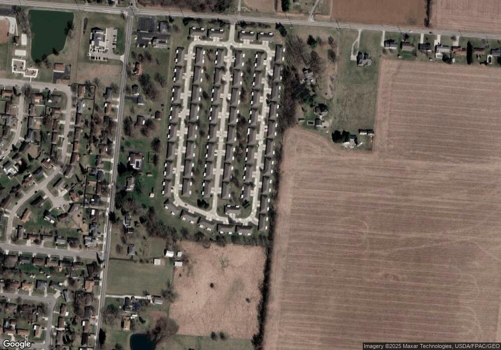
Map
Nearby Homes
- 4890 Brannan Dr W Unit 4890
- 4732 Lehigh Dr
- 4652 Reno Ln Unit 15
- 4500 Bosart Rd
- 4577 Reno Ln Unit 2
- 4446 Ridgewood Rd E Unit 3
- 1521 Erika Dr
- 4322 Midfield St Unit 15
- 4256 Midfield St Unit 9
- 4028 Ryland Dr Unit 4028
- 1977 Willoughby Ave
- 1644 Delmar Dr
- 1341 Student Ave
- 1309 Richmoor Rd
- 4802 Willowbrook Dr
- 5235 W Ridgewood Rd
- 4741 Cullen Ave
- 1415 Montego Dr
- 1052 Cheyenne Ave Unit 1052
- 4733 Curtis Dr
- 4839 Brannan Dr E
- 4827 Brannan Dr E Unit 4827
- 4849 Brannan Dr E
- 4840 Brannan Dr E
- 4825 Brannan Dr E Unit 4825
- 4850 Brannan Dr E Unit 4850
- 4846 Auston St Unit 4846
- 4838 Brannan Dr E Unit 4838
- 4838 Brannan Dr E
- 4838 Brannan Dr E
- 4848 Auston St
- 4848 Auston St Unit 4848
- 4848 Auston St
- 4836 Auston St Unit 4836
- 4836 Auston St
- 4852 Brannan Dr E Unit 4852
- 4851 Brannan Dr E Unit 4851
- 4828 Brannan Dr E
- 4858 Auston St
- 4834 Auston St
Your Personal Tour Guide
Ask me questions while you tour the home.