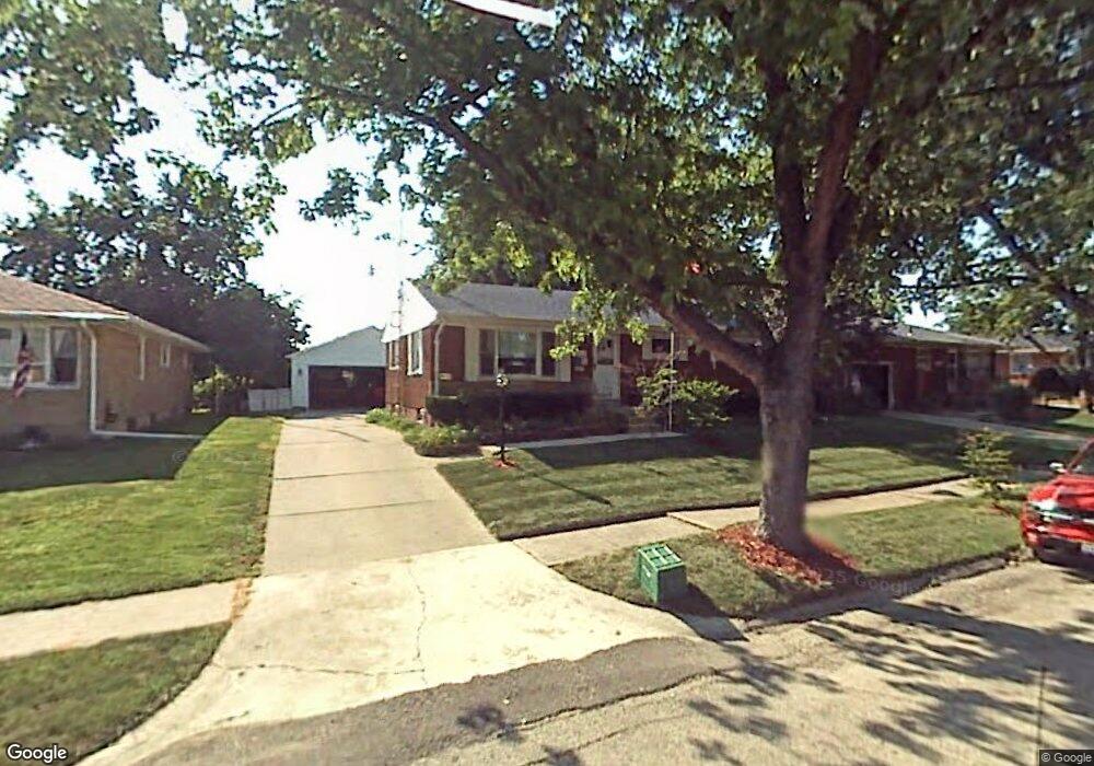
4837 Curtis Dr Springfield, OH 45503
Estimated Value: $191,000 - $205,642
3
Beds
2
Baths
1,075
Sq Ft
$187/Sq Ft
Est. Value
About This Home
This home is located at 4837 Curtis Dr, Springfield, OH 45503 and is currently estimated at $200,661, approximately $186 per square foot. 4837 Curtis Dr is a home located in Clark County with nearby schools including Northridge Elementary School, Kenton Ridge Middle & High School, and Emmanuel Christian Academy.
Ownership History
Date
Name
Owned For
Owner Type
Purchase Details
Closed on
Apr 14, 2009
Sold by
Schantz Rita A and Anderson Kristen K
Bought by
Anderson Arthur R and Anderson Kristen K
Current Estimated Value
Purchase Details
Closed on
Feb 23, 2009
Sold by
Anderson Arthur and Anderson Kristen
Bought by
Anderson Arthur and Anderson Kristen
Purchase Details
Closed on
Jul 1, 1982
Sold by
Adams David A and Adams Candi
Bought by
Anderson Arthur and Anderson Kristen
Create a Home Valuation Report for This Property
The Home Valuation Report is an in-depth analysis detailing your home's value as well as a comparison with similar homes in the area
Home Values in the Area
Average Home Value in this Area
Purchase History
| Date | Buyer | Sale Price | Title Company |
|---|---|---|---|
| Anderson Arthur R | $42,000 | Attorney | |
| Anderson Arthur | -- | Attorney | |
| Anderson Arthur | $37,200 | -- |
Source: Public Records
Tax History
| Year | Tax Paid | Tax Assessment Tax Assessment Total Assessment is a certain percentage of the fair market value that is determined by local assessors to be the total taxable value of land and additions on the property. | Land | Improvement |
|---|---|---|---|---|
| 2025 | $1,648 | $69,410 | $16,720 | $52,690 |
| 2024 | $1,620 | $47,480 | $9,730 | $37,750 |
| 2023 | $1,620 | $47,480 | $9,730 | $37,750 |
| 2022 | $1,644 | $47,480 | $9,730 | $37,750 |
| 2021 | $1,602 | $40,710 | $7,210 | $33,500 |
| 2020 | $1,604 | $40,710 | $7,210 | $33,500 |
| 2019 | $1,634 | $40,710 | $7,210 | $33,500 |
| 2018 | $1,559 | $38,000 | $9,180 | $28,820 |
| 2017 | $1,337 | $35,914 | $9,184 | $26,730 |
| 2016 | $1,327 | $35,914 | $9,184 | $26,730 |
| 2015 | $656 | $35,564 | $8,834 | $26,730 |
| 2014 | $1,313 | $35,564 | $8,834 | $26,730 |
| 2013 | $1,282 | $35,564 | $8,834 | $26,730 |
Source: Public Records
Map
Nearby Homes
- 4741 Cullen Ave
- 4733 Curtis Dr
- 4802 Willowbrook Dr
- 1309 Richmoor Rd
- 5235 W Ridgewood Rd
- 5300 Brookshire Ln
- 1341 Student Ave
- 519 Moorefield Rd
- 1521 Erika Dr
- 4446 Ridgewood Rd E Unit 3
- 4322 Midfield St Unit 15
- 4577 Reno Ln Unit 2
- 4652 Reno Ln Unit 15
- 4256 Midfield St Unit 9
- 4732 Lehigh Dr
- 1415 Montego Dr
- 1495 Victorian Way
- 4890 Brannan Dr W Unit 4890
- 1644 Delmar Dr
- 0 Moorefield Rd
- 4845 Curtis Dr
- 4831 Curtis Dr
- 4825 Curtis Dr
- 4851 Curtis Dr
- 4836 Westmont Dr
- 4842 Westmont Dr
- 4830 Westmont Dr
- 4848 Westmont Dr
- 4840 Curtis Dr
- 4821 Curtis Dr
- 4834 Curtis Dr
- 4824 Westmont Dr
- 4848 Curtis Dr
- 1049 Stanway Ave
- 4828 Curtis Dr
- 4902 Westmont Dr
- 4822 Curtis Dr
- 4816 Westmont Dr
- 4813 Curtis Dr
- 1111 Stanway Ave
Your Personal Tour Guide
Ask me questions while you tour the home.