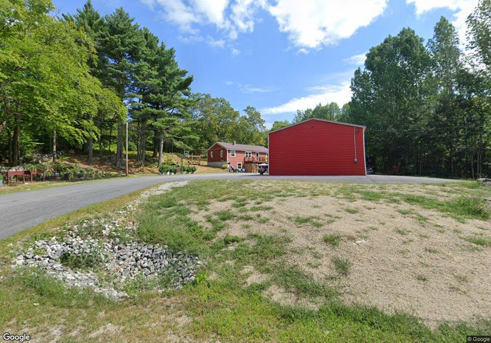
484 Maplecrest Rd Parsonsfield, ME 04047
Estimated Value: $357,000 - $410,000
Studio
--
Bath
1,248
Sq Ft
$304/Sq Ft
Est. Value
About This Home
This home is located at 484 Maplecrest Rd, Parsonsfield, ME 04047 and is currently estimated at $378,848, approximately $303 per square foot. 484 Maplecrest Rd is a home.
Ownership History
Date
Name
Owned For
Owner Type
Purchase Details
Closed on
Mar 3, 2020
Sold by
Lyle Tyler J
Bought by
Lyle Tyler J and Lyle Desirae K
Current Estimated Value
Purchase Details
Closed on
May 24, 2019
Sold by
Lyle Brian L
Bought by
Lyle Tyler J
Home Financials for this Owner
Home Financials are based on the most recent Mortgage that was taken out on this home.
Original Mortgage
$147,283
Interest Rate
4.62%
Mortgage Type
FHA
Create a Home Valuation Report for This Property
The Home Valuation Report is an in-depth analysis detailing your home's value as well as a comparison with similar homes in the area
Home Values in the Area
Average Home Value in this Area
Purchase History
| Date | Buyer | Sale Price | Title Company |
|---|---|---|---|
| Lyle Tyler J | -- | None Available | |
| Lyle Tyler J | -- | None Available | |
| Lyle Tyler J | -- | None Available | |
| Lyle Tyler J | -- | -- | |
| Lyle Tyler J | -- | -- | |
| Lyle Tyler J | -- | -- |
Source: Public Records
Mortgage History
| Date | Status | Borrower | Loan Amount |
|---|---|---|---|
| Previous Owner | Lyle Tyler J | $147,283 |
Source: Public Records
Tax History
| Year | Tax Paid | Tax Assessment Tax Assessment Total Assessment is a certain percentage of the fair market value that is determined by local assessors to be the total taxable value of land and additions on the property. | Land | Improvement |
|---|---|---|---|---|
| 2025 | $3,465 | $205,019 | $55,000 | $150,019 |
| 2024 | $3,444 | $205,019 | $55,000 | $150,019 |
| 2023 | $3,321 | $205,019 | $55,000 | $150,019 |
| 2022 | $3,178 | $205,019 | $55,000 | $150,019 |
| 2021 | $2,683 | $173,669 | $55,000 | $118,669 |
| 2020 | $2,631 | $173,669 | $55,000 | $118,669 |
| 2019 | $2,588 | $173,669 | $55,000 | $118,669 |
| 2017 | $2,588 | $173,669 | $55,000 | $118,669 |
| 2016 | $2,588 | $173,669 | $55,000 | $118,669 |
| 2015 | $2,605 | $173,669 | $55,000 | $118,669 |
| 2013 | $2,536 | $173,669 | $55,000 | $118,669 |
Source: Public Records
Map
Nearby Homes
- 424 Maplecrest Rd
- 27 Nocturne Rd
- 1186 Middle
- 178 Maplecrest Rd
- 27 Lynn Dr
- 00 North Rd
- 00 North Rd Unit Lot 3
- 00 North Rd Unit Lot 2
- 00 North Rd Unit Lot 1
- Lot 1 Moulton Hill Rd
- R13/038 Weeks Rd
- 11 Penny Ln
- 1783 North Rd
- 1882 North Rd
- 528 Maplewood Rd
- 35 Mudgett Rd
- 154 Staples Rd
- 26 Owls Hill Rd
- TBD Sokokis Trail N
- 0 Stone Hill Rd
- 454 Maplecrest Rd
- 508 Maplecrest Rd
- 494 Maplecrest Rd
- 540 Maplecrest Rd
- 423 Maplecrest Rd
- R13-2,3,4, Maplecrest Rd
- 363 Maplecrest Rd
- 616 Maplecrest Rd
- 349 Maplecrest Rd
- 333 Maplecrest Rd
- 187 Randall Lake Rd
- 630 Maplecrest Rd
- 319 Maplecrest Rd
- 0 Milliken Rd Unit 665691
- 0 Milliken Rd Unit 314281
- 0 Milliken Rd Unit 1471361
- 0 Milliken Rd Unit 1335807
- 0 Milliken Rd Unit 1402352
- 54 Milliken Rd
- 596 Maplecrest Rd
Your Personal Tour Guide
Ask me questions while you tour the home.