484 Maplecrest Rd Parsonsfield, ME 04047
Estimated Value: $358,448 - $427,000
About This Home
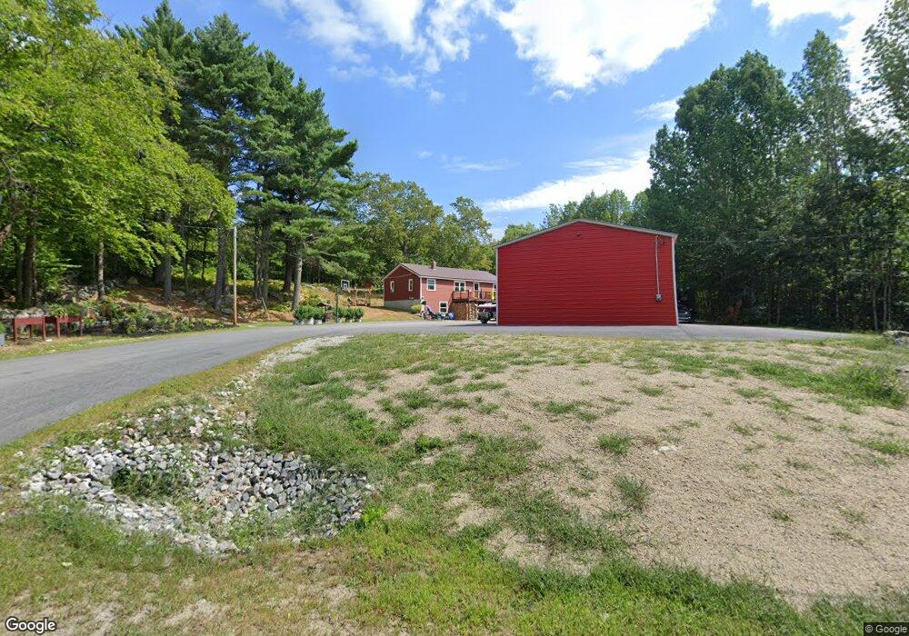
This home is located at 484 Maplecrest Rd, Parsonsfield, ME 04047 and is currently estimated at $391,112, approximately $313 per square foot. 484 Maplecrest Rd is a home.
Ownership History
We collect this data history from publicly available records. To have your information removed, we recommend requesting removal directly through your county’s website.
Purchase Details
Purchase Details
Home Financials for this Owner
Home Financials are based on the most recent Mortgage that was taken out on this home.Home Values in the Area
Average Home Value in this Area
Purchase History
We collect this data history from publicly available records. To have your information removed, we recommend requesting removal directly through your county’s website.
| Date | Buyer | Sale Price | Title Company |
|---|---|---|---|
| -- | None Available | ||
| -- | None Available | ||
| -- | None Available | ||
| -- | -- | ||
| -- | -- | ||
| -- | -- |
Mortgage History
We collect this data history from publicly available records. To have your information removed, we recommend requesting removal directly through your county’s website.
| Date | Status | Borrower | Loan Amount |
|---|---|---|---|
| Previous Owner | $147,283 |
Tax History
We collect this data history from publicly available records. To have your information removed, we recommend requesting removal directly through your county’s website.
| Year | Tax Paid | Tax Assessment Tax Assessment Total Assessment is a certain percentage of the fair market value that is determined by local assessors to be the total taxable value of land and additions on the property. | Land | Improvement |
|---|---|---|---|---|
| 2025 | $3,465 | $205,019 | $55,000 | $150,019 |
| 2024 | $3,444 | $205,019 | $55,000 | $150,019 |
| 2023 | $3,321 | $205,019 | $55,000 | $150,019 |
| 2022 | $3,178 | $205,019 | $55,000 | $150,019 |
| 2021 | $2,683 | $173,669 | $55,000 | $118,669 |
| 2020 | $2,631 | $173,669 | $55,000 | $118,669 |
| 2019 | $2,588 | $173,669 | $55,000 | $118,669 |
| 2017 | $2,588 | $173,669 | $55,000 | $118,669 |
| 2016 | $2,588 | $173,669 | $55,000 | $118,669 |
| 2015 | $2,605 | $173,669 | $55,000 | $118,669 |
| 2013 | $2,536 | $173,669 | $55,000 | $118,669 |
Map
- 424 Maplecrest Rd
- 27 Nocturne Rd
- 178 Maplecrest Rd
- 00 North Rd
- 00 North Rd Unit Lot 3
- 00 North Rd Unit Lot 2
- 00 North Rd Unit Lot 1
- Lot 1 Moulton Hill Rd
- 48 Piper Ln
- R13/038 Weeks Rd
- 1783 North Rd
- 156 Hussey Rd
- 65 Road Between the Ponds
- 72 Joe Berry Rd
- 1882 North Rd
- 865 Pendexter Rd
- 85 Cramm Rd
- 007-B Parsonsfield Rd Unit Map-018 Lot-007
- 92 Staples Rd
- 286 Watson Hill Rd
- 454 Maplecrest Rd
- 508 Maplecrest Rd
- 494 Maplecrest Rd
- 540 Maplecrest Rd
- 423 Maplecrest Rd
- R13-2,3,4, Maplecrest Rd
- 363 Maplecrest Rd
- 616 Maplecrest Rd
- 349 Maplecrest Rd
- 333 Maplecrest Rd
- 187 Randall Lake Rd
- 630 Maplecrest Rd
- 319 Maplecrest Rd
- 0 Milliken Rd Unit 665691
- 0 Milliken Rd Unit 314281
- 0 Milliken Rd Unit 1471361
- 0 Milliken Rd Unit 1335807
- 0 Milliken Rd Unit 1402352
- 54 Milliken Rd
- 596 Maplecrest Rd
Ask me questions while you tour the home.