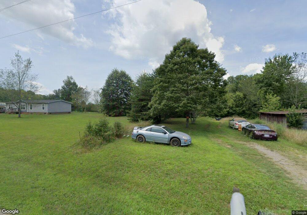
4840 Yoder Rd Crouse, NC 28033
Estimated Value: $153,000 - $286,000
3
Beds
2
Baths
1,296
Sq Ft
$171/Sq Ft
Est. Value
About This Home
This home is located at 4840 Yoder Rd, Crouse, NC 28033 and is currently estimated at $221,000, approximately $170 per square foot. 4840 Yoder Rd is a home located in Lincoln County with nearby schools including Norris S. Childers Elementary School, West Lincoln Middle, and West Lincoln High School.
Ownership History
Date
Name
Owned For
Owner Type
Purchase Details
Closed on
Apr 21, 2005
Sold by
Federal Home Loan Mortgage Corporation
Bought by
Allen Kenneth
Current Estimated Value
Purchase Details
Closed on
Oct 19, 2004
Bought by
Federal Home Loan Mortgage Corporation
Purchase Details
Closed on
Apr 23, 2003
Bought by
Swink William M
Purchase Details
Closed on
Sep 19, 2002
Bought by
C & M Land Co
Create a Home Valuation Report for This Property
The Home Valuation Report is an in-depth analysis detailing your home's value as well as a comparison with similar homes in the area
Purchase History
| Date | Buyer | Sale Price | Title Company |
|---|---|---|---|
| Allen Kenneth | -- | None Available | |
| Federal Home Loan Mortgage Corporation | $75,900 | -- | |
| Swink William M | $15,000 | -- | |
| C & M Land Co | $185,500 | -- |
Source: Public Records
Tax History
| Year | Tax Paid | Tax Assessment Tax Assessment Total Assessment is a certain percentage of the fair market value that is determined by local assessors to be the total taxable value of land and additions on the property. | Land | Improvement |
|---|---|---|---|---|
| 2025 | $864 | $117,895 | $30,940 | $86,955 |
| 2024 | $844 | $117,895 | $30,940 | $86,955 |
| 2023 | $805 | $117,895 | $30,940 | $86,955 |
| 2022 | $605 | $69,485 | $21,961 | $47,524 |
| 2021 | $605 | $69,485 | $21,961 | $47,524 |
| 2020 | $476 | $69,485 | $21,961 | $47,524 |
| 2019 | $476 | $69,485 | $21,961 | $47,524 |
| 2018 | $523 | $60,488 | $20,402 | $40,086 |
| 2017 | $408 | $60,488 | $20,402 | $40,086 |
| 2016 | $408 | $60,488 | $20,402 | $40,086 |
| 2015 | $486 | $60,488 | $20,402 | $40,086 |
| 2014 | $598 | $78,185 | $21,396 | $56,789 |
Source: Public Records
Map
Nearby Homes
- 7124 Old Hickory Ln
- 0000 Garys Place
- 4660 Garys Place
- 5740 Crouse Rd
- 3051 Shoal Rd
- 453 Robert Rd
- 148 Buck Fraley Rd
- 1882 George Brown Rd
- 000 Leonards Fork Church Rd
- 309 Mel Ln
- 1470 Requa Rd
- 458 Roy Eaker Rd
- 120 Wesley Ct
- 115 Stoney Ln
- 58 Malden Ct
- 56 Malden Ct
- 57 Malden Ct
- 1008 Rocky Ridge Dr
- 00 Malden Ct
- 211 Roy Eaker Rd
Your Personal Tour Guide
Ask me questions while you tour the home.