4846 Sir Austin Dr Jackson, MI 49201
Estimated Value: $387,000 - $434,000
About This Home
This home is located at 4846 Sir Austin Dr, Jackson, MI 49201 and is currently estimated at $410,289, approximately $178 per square foot. 4846 Sir Austin Dr is a home located in Jackson County with nearby schools including Northwest Elementary School, Northwest Early Elementary School, and Northwest Middle School.
Ownership History
We collect this data history from publicly available records. To have your information removed, we recommend requesting removal directly through your county’s website.
Purchase Details
Home Financials for this Owner
Home Financials are based on the most recent Mortgage that was taken out on this home.Purchase Details
Home Values in the Area
Average Home Value in this Area
Purchase History
We collect this data history from publicly available records. To have your information removed, we recommend requesting removal directly through your county’s website.
| Date | Buyer | Sale Price | Title Company |
|---|---|---|---|
| $209,900 | At | ||
| $24,100 | -- |
Mortgage History
We collect this data history from publicly available records. To have your information removed, we recommend requesting removal directly through your county’s website.
| Date | Status | Borrower | Loan Amount |
|---|---|---|---|
| Open | $167,920 |
Tax History
We collect this data history from publicly available records. To have your information removed, we recommend requesting removal directly through your county’s website.
| Year | Tax Paid | Tax Assessment Tax Assessment Total Assessment is a certain percentage of the fair market value that is determined by local assessors to be the total taxable value of land and additions on the property. | Land | Improvement |
|---|---|---|---|---|
| 2025 | $1,833 | $206,400 | $0 | $0 |
| 2024 | $18 | $196,400 | $0 | $0 |
| 2023 | $1,699 | $184,200 | $0 | $0 |
| 2022 | $3,403 | $166,900 | $0 | $0 |
| 2021 | $3,344 | $148,700 | $0 | $0 |
| 2020 | $3,312 | $141,800 | $0 | $0 |
| 2019 | $3,230 | $122,000 | $0 | $0 |
| 2018 | $2,962 | $108,500 | $0 | $0 |
| 2017 | $2,796 | $106,500 | $0 | $0 |
| 2016 | $1,861 | $104,878 | $104,878 | $0 |
| 2015 | $2,729 | $85,729 | $85,729 | $0 |
| 2014 | $2,729 | $86,665 | $0 | $0 |
| 2013 | -- | $86,665 | $86,665 | $0 |
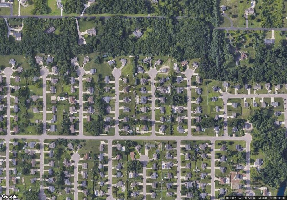
Map
- 5067 Big Rock St
- 5170 N Granite St
- 5127 S Granite St
- 5223 S Boulder St
- 5115 Lansing Ave
- 228 Mcconnell Dr
- 248 Mcconnell Dr
- 109 Bradley Dr
- 4215 Aspen Way
- 0 Lansing Ave Unit 26003476
- 1190 Ferndale Rd
- 1321 Michael Dr
- VL Morrill Rd
- 2786 Walden Woods Blvd
- 3006 Lansing Ave
- VL 69 Clinton Way
- 3466 Clinton Way
- 3335 Clinton Way
- 2627 Cooper St
- 4555 Clinton Rd
- 4850 Sir Austin Dr
- 4842 Sir Austin Dr
- 0 Sir Austin Dr
- 4813 Queen Anne Ct
- 4809 Queen Anne Ct
- 4817 Queen Anne Ct
- 4854 Sir Austin Dr
- 4838 Sir Austin Dr
- 4845 Sir Austin Dr
- 4849 Sir Austin Dr
- 4841 Sir Austin Dr
- 4805 Queen Anne Ct
- 4805 Queen Anne Ct Unit 592
- 4821 Queen Anne Ct
- 4853 Sir Austin Dr
- 4837 Sir Austin Dr
- 4858 Sir Austin Dr
- 4801 Queen Anne Ct
- 4814 Queen Anne Ct
- 4833 Sir Austin Dr
Ask me questions while you tour the home.