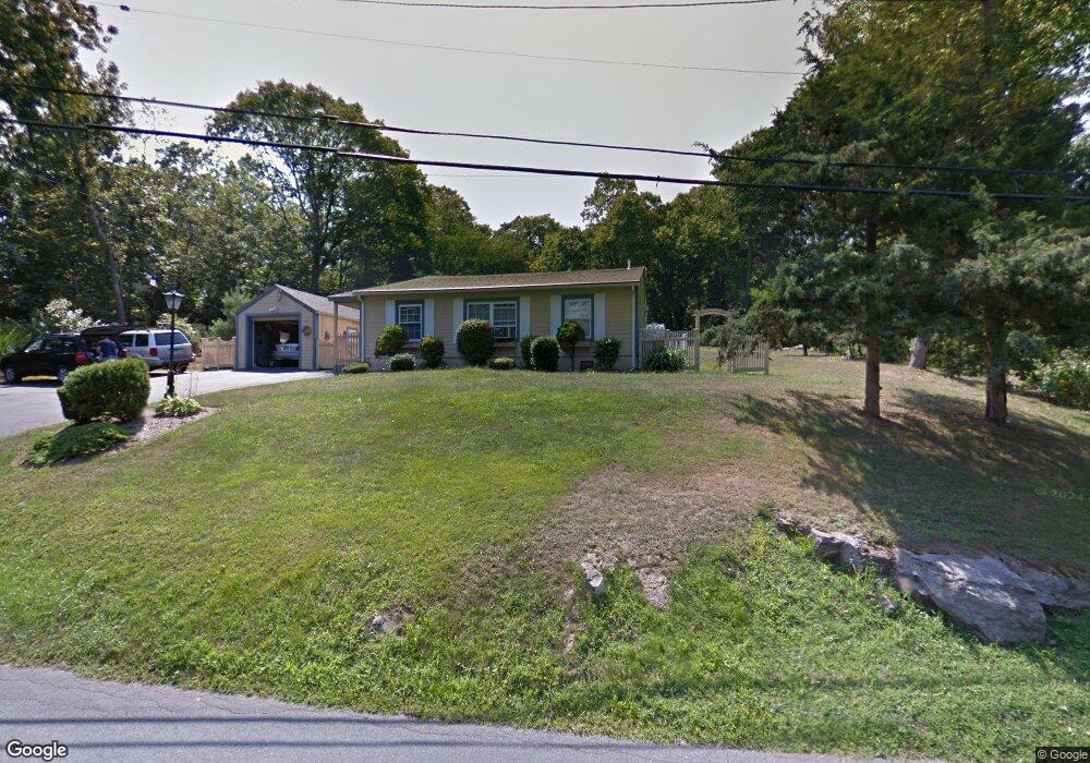
485 Mulberry Point Rd Guilford, CT 06437
Estimated Value: $391,000 - $598,000
About This Home
This home is located at 485 Mulberry Point Rd, Guilford, CT 06437 and is currently estimated at $512,943, approximately $468 per square foot. 485 Mulberry Point Rd is a home located in New Haven County with nearby schools including E.C. Adams Middle School, A. Baldwin Middle School, and Guilford High School.
Ownership History
We collect this data history from publicly available records. To have your information removed, we recommend requesting removal directly through your county’s website.
Purchase Details
Purchase Details
Home Values in the Area
Average Home Value in this Area
Purchase History
We collect this data history from publicly available records. To have your information removed, we recommend requesting removal directly through your county’s website.
| Date | Buyer | Sale Price | Title Company |
|---|---|---|---|
| -- | None Available | ||
| -- | None Available | ||
| $106,500 | -- | ||
| $106,500 | -- |
Mortgage History
We collect this data history from publicly available records. To have your information removed, we recommend requesting removal directly through your county’s website.
| Date | Status | Borrower | Loan Amount |
|---|---|---|---|
| Previous Owner | $90,000 | ||
| Previous Owner | $98,325 | ||
| Previous Owner | $163,300 |
Tax History
We collect this data history from publicly available records. To have your information removed, we recommend requesting removal directly through your county’s website.
| Year | Tax Paid | Tax Assessment Tax Assessment Total Assessment is a certain percentage of the fair market value that is determined by local assessors to be the total taxable value of land and additions on the property. | Land | Improvement |
|---|---|---|---|---|
| 2025 | $7,473 | $270,270 | $198,940 | $71,330 |
| 2024 | $7,184 | $270,270 | $198,940 | $71,330 |
| 2023 | $6,995 | $270,270 | $198,940 | $71,330 |
| 2022 | $5,528 | $166,270 | $130,340 | $35,930 |
| 2021 | $5,424 | $166,270 | $130,340 | $35,930 |
| 2020 | $5,372 | $166,270 | $130,340 | $35,930 |
| 2019 | $5,326 | $166,270 | $130,340 | $35,930 |
| 2018 | $5,201 | $166,270 | $130,340 | $35,930 |
| 2017 | $5,275 | $179,660 | $135,830 | $43,830 |
| 2016 | $5,151 | $179,660 | $135,830 | $43,830 |
| 2015 | $5,074 | $179,660 | $135,830 | $43,830 |
| 2014 | $4,926 | $179,660 | $135,830 | $43,830 |
Map
- 57 Faulkner Dr
- 136 Daniel Ave
- 51 Highland Ave
- 76 Sachem Head Rd
- 4 Benton's Knoll Unit 2
- 441 Water St
- 379 Whitfield St Unit AS2136
- 379 Whitfield St Unit BN334
- 379 Whitfield St Unit CN946
- 379 Whitfield St Unit AN236
- 379 Whitfield St Unit BN2534
- 379 Whitfield St Unit BN1034
- 379 Whitfield St Unit CS936
- 405 Whitfield St Unit 2
- 32 Summer St
- 19 Seaside Ave
- 66 High St Unit 38
- 66 High St Unit 17
- 95 Thankful Stow Rd
- 446 Whitfield St Unit C
- 503 Mulberry Point Rd
- 467 Mulberry Point Rd
- 492 Mulberry Point Rd
- 517 Mulberry Point Rd
- 502 Mulberry Point Rd
- 502 Mulberry Point Rd
- 474 Mulberry Point Rd
- 480 Mulberry Point Rd
- 549 Mulberry Point Rd
- 456 Mulberry Point Rd
- 463 Mulberry Point Rd
- 537 Mulberry Point Rd
- 16 Cedar Grove Rd
- 150 Deepwood Dr
- 518 Mulberry Point Rd
- 19 Cedar Grove Rd
- 545 Mulberry Point Rd
- 532 Mulberry Point Rd
- 444 Mulberry Point Rd
- 26 Cedar Grove Rd
Ask me questions while you tour the home.