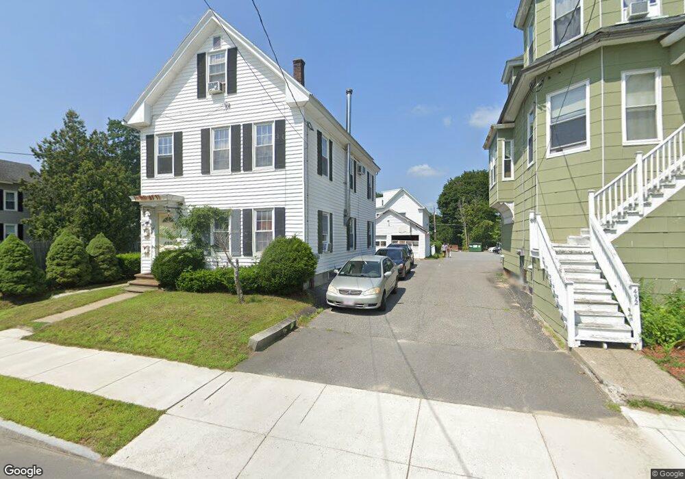
488 High St Clinton, MA 01510
Estimated Value: $539,000 - $687,000
6
Beds
3
Baths
2,064
Sq Ft
$301/Sq Ft
Est. Value
About This Home
This home is located at 488 High St, Clinton, MA 01510 and is currently estimated at $621,874, approximately $301 per square foot. 488 High St is a home located in Worcester County with nearby schools including Clinton Elementary School, Clinton Senior High School, and Clinton Middle School.
Ownership History
Date
Name
Owned For
Owner Type
Purchase Details
Closed on
Oct 17, 2003
Sold by
Errington Michael L
Bought by
Silva Olivaldo
Current Estimated Value
Home Financials for this Owner
Home Financials are based on the most recent Mortgage that was taken out on this home.
Original Mortgage
$228,800
Outstanding Balance
$108,380
Interest Rate
6.43%
Mortgage Type
Purchase Money Mortgage
Estimated Equity
$513,494
Purchase Details
Closed on
Nov 18, 1998
Sold by
Arbon Mike and Arbon Janalyn
Bought by
Errington Michael L
Purchase Details
Closed on
Mar 28, 1996
Sold by
Burgwinkle Bruce and Burgwinkle Pamela
Bought by
Arbon Mike and Arbon Janalyn
Create a Home Valuation Report for This Property
The Home Valuation Report is an in-depth analysis detailing your home's value as well as a comparison with similar homes in the area
Home Values in the Area
Average Home Value in this Area
Purchase History
| Date | Buyer | Sale Price | Title Company |
|---|---|---|---|
| Silva Olivaldo | $286,000 | -- | |
| Errington Michael L | $138,000 | -- | |
| Arbon Mike | $119,900 | -- |
Source: Public Records
Mortgage History
| Date | Status | Borrower | Loan Amount |
|---|---|---|---|
| Open | Silva Olivaldo | $228,800 | |
| Previous Owner | Arbon Mike | $151,200 | |
| Previous Owner | Arbon Mike | $18,900 | |
| Previous Owner | Arbon Mike | $140,760 |
Source: Public Records
Tax History
| Year | Tax Paid | Tax Assessment Tax Assessment Total Assessment is a certain percentage of the fair market value that is determined by local assessors to be the total taxable value of land and additions on the property. | Land | Improvement |
|---|---|---|---|---|
| 2025 | $5,607 | $421,600 | $82,500 | $339,100 |
| 2024 | $5,092 | $387,500 | $82,500 | $305,000 |
| 2023 | $4,930 | $368,700 | $75,000 | $293,700 |
| 2022 | $5,056 | $339,100 | $68,200 | $270,900 |
| 2021 | $3,990 | $250,300 | $65,000 | $185,300 |
| 2020 | $3,654 | $235,900 | $65,000 | $170,900 |
| 2019 | $3,399 | $213,400 | $63,000 | $150,400 |
| 2018 | $3,479 | $204,900 | $70,900 | $134,000 |
| 2017 | $3,539 | $200,300 | $59,100 | $141,200 |
| 2016 | $3,459 | $200,300 | $59,100 | $141,200 |
| 2015 | $3,227 | $193,700 | $57,400 | $136,300 |
| 2014 | $3,128 | $193,700 | $57,400 | $136,300 |
Source: Public Records
Map
Nearby Homes
- 508 High St
- 57 Clark St
- 719 Main St
- 201 Stone St Unit 203
- 201-203 Stone St
- 25 Pearl St
- 861 Main St
- 55 Sterling St Unit 306
- 55 Sterling St Unit 312
- 55 Sterling St Unit 314
- 55 Sterling St Unit 212
- 101 Woodruff Rd
- 25 Greeley St Unit 2
- 155 Cedar St
- 540 Main St Unit 303
- 229 Sterling St
- 354356 Water St
- 46 Woodruff Rd
- 300 Greeley St
- 115117 Mechanic St Unit 4
- 492 High St Unit 494
- 492 High St Unit 2
- 492 High St Unit EXTENSIO
- 478 High St
- 478 High St Unit 1
- 159 West St
- 159 West St Unit 1
- 151 West St
- 500 High St
- 491 High St Unit 3
- 491 High St Unit 2
- 143 West St
- 483 High St
- 495497 High St
- 479 High St
- 479 High St Unit 2
- 479 High Jstreet Unit 2
- 495 High St Unit 497
- 495 High St Unit 2
- 40 Plain St
Your Personal Tour Guide
Ask me questions while you tour the home.