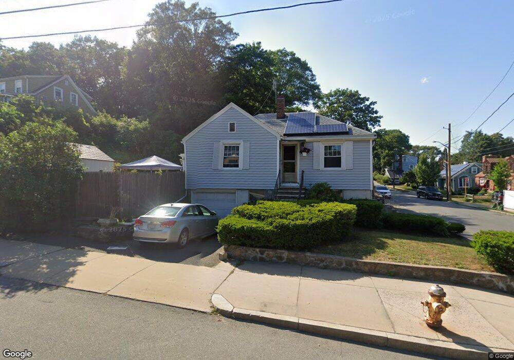
488 Loring Ave Salem, MA 01970
Vinnin Square NeighborhoodEstimated Value: $631,472 - $694,000
About This Home
This home is located at 488 Loring Ave, Salem, MA 01970 and is currently estimated at $662,868, approximately $374 per square foot. 488 Loring Ave is a home located in Essex County with nearby schools including Saltonstall School, Horace Mann Laboratory, and Witchcraft Heights Elementary School.
Ownership History
We collect this data history from publicly available records. To have your information removed, we recommend requesting removal directly through your county’s website.
Purchase Details
Purchase Details
Home Values in the Area
Average Home Value in this Area
Purchase History
We collect this data history from publicly available records. To have your information removed, we recommend requesting removal directly through your county’s website.
| Date | Buyer | Sale Price | Title Company |
|---|---|---|---|
| -- | None Available | ||
| -- | None Available | ||
| -- | -- | ||
| -- | -- | ||
| -- | -- | ||
| -- | -- | ||
| -- | -- |
Mortgage History
We collect this data history from publicly available records. To have your information removed, we recommend requesting removal directly through your county’s website.
| Date | Status | Borrower | Loan Amount |
|---|---|---|---|
| Previous Owner | $25,000 | ||
| Previous Owner | $38,000 |
Tax History
We collect this data history from publicly available records. To have your information removed, we recommend requesting removal directly through your county’s website.
| Year | Tax Paid | Tax Assessment Tax Assessment Total Assessment is a certain percentage of the fair market value that is determined by local assessors to be the total taxable value of land and additions on the property. | Land | Improvement |
|---|---|---|---|---|
| 2025 | $6,576 | $579,900 | $196,200 | $383,700 |
| 2024 | $6,731 | $579,300 | $196,200 | $383,100 |
| 2023 | $6,318 | $505,000 | $179,600 | $325,400 |
| 2022 | $5,928 | $447,400 | $172,900 | $274,500 |
| 2021 | $5,779 | $418,800 | $163,000 | $255,800 |
| 2020 | $5,530 | $382,700 | $146,300 | $236,400 |
| 2019 | $5,342 | $353,800 | $133,000 | $220,800 |
| 2018 | $5,178 | $336,700 | $123,700 | $213,000 |
| 2017 | $5,150 | $324,700 | $116,400 | $208,300 |
| 2016 | $4,745 | $302,800 | $94,500 | $208,300 |
| 2015 | $4,657 | $283,800 | $94,500 | $189,300 |
Map
- 15 Oak View Ave
- 1 Elm Ave
- 7 Cedarcrest Rd
- 6 Loring Hills Ave Unit B1
- 1008 Paradise Rd Unit 2E
- 1008 Paradise Rd Unit 3N
- 1002 Paradise Rd Unit PHE
- 20 America Way Unit 1
- 1 Loring Ave Unit 212
- 1004 Paradise Rd Unit PHB
- 10 Weatherly Dr Unit 3
- 11 Weatherly Dr
- 11 Angenica Terrace
- 20 Elmwood Rd
- 88 Moffatt Rd
- 3 Gooseneck Ln Unit 127
- 404 Paradise Rd Unit 1D
- 404 Paradise Rd Unit 1C
- 212 Humphrey St Unit 202
- 23 Marion Rd Unit B
- 3 Intervale Rd
- 57 Intervale Rd
- 490 Loring Ave
- 486 Loring Ave
- 6 Intervale Rd
- 19 Kelley Rd
- 8 Intervale Rd
- 9A Intervale Rd
- 9 Intervale Rd
- 484 Loring Ave
- 492 Loring Ave
- 461 Loring Ave
- 463 Loring Ave
- 10 Intervale Rd
- 457 Loring Ave
- 9 1/2 Intervale Rd
- 15 Kelley Rd
- 455 Loring Ave
- 494 Loring Ave
- 465 Loring Ave
Ask me questions while you tour the home.