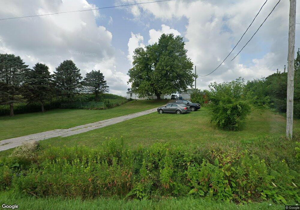
4889 State Route 203 Radnor, OH 43066
Estimated Value: $186,000 - $238,000
3
Beds
1
Bath
1,152
Sq Ft
$192/Sq Ft
Est. Value
About This Home
This home is located at 4889 State Route 203, Radnor, OH 43066 and is currently estimated at $220,750, approximately $191 per square foot. 4889 State Route 203 is a home located in Delaware County with nearby schools including Buckeye Valley High School.
Ownership History
Date
Name
Owned For
Owner Type
Purchase Details
Closed on
Nov 2, 2021
Bought by
Robert H Coy
Current Estimated Value
Home Financials for this Owner
Home Financials are based on the most recent Mortgage that was taken out on this home.
Interest Rate
3.14%
Purchase Details
Closed on
Nov 1, 2021
Sold by
Ripley Anthony B and Estate Of Timothy C Ripley
Bought by
Coy Robert H
Home Financials for this Owner
Home Financials are based on the most recent Mortgage that was taken out on this home.
Interest Rate
3.14%
Purchase Details
Closed on
Oct 29, 2021
Sold by
Ripley Timothy
Bought by
Coy Robert
Home Financials for this Owner
Home Financials are based on the most recent Mortgage that was taken out on this home.
Interest Rate
3.14%
Create a Home Valuation Report for This Property
The Home Valuation Report is an in-depth analysis detailing your home's value as well as a comparison with similar homes in the area
Home Values in the Area
Average Home Value in this Area
Purchase History
| Date | Buyer | Sale Price | Title Company |
|---|---|---|---|
| Robert H Coy | $164,000 | -- | |
| Coy Robert H | $154,000 | None Available | |
| Coy Robert | $154,000 | None Listed On Document |
Source: Public Records
Mortgage History
| Date | Status | Borrower | Loan Amount |
|---|---|---|---|
| Closed | Robert H Coy | -- | |
| Open | Coy Robert H | $164,000 | |
| Closed | Coy Robert | $164,000 |
Source: Public Records
Tax History
| Year | Tax Paid | Tax Assessment Tax Assessment Total Assessment is a certain percentage of the fair market value that is determined by local assessors to be the total taxable value of land and additions on the property. | Land | Improvement |
|---|---|---|---|---|
| 2024 | $1,988 | $53,660 | $13,510 | $40,150 |
| 2023 | $1,987 | $53,660 | $13,510 | $40,150 |
| 2022 | $1,917 | $45,920 | $13,510 | $32,410 |
| 2021 | $1,950 | $45,920 | $13,510 | $32,410 |
| 2020 | $1,957 | $45,920 | $13,510 | $32,410 |
| 2019 | $913 | $38,780 | $11,760 | $27,020 |
| 2018 | $924 | $38,780 | $11,760 | $27,020 |
| 2017 | $964 | $35,670 | $9,660 | $26,010 |
| 2016 | $706 | $35,670 | $9,660 | $26,010 |
| 2015 | $1,097 | $35,670 | $9,660 | $26,010 |
| 2014 | $1,031 | $35,670 | $9,660 | $26,010 |
| 2013 | $1,026 | $34,200 | $9,660 | $24,540 |
Source: Public Records
Map
Nearby Homes
- 4277 Radnor Rd
- 4005 Ohio 203
- 3935 N Section Line Rd
- 0 Norton Rd
- 0 Norton Rd Unit 226007710
- 6370 Curren Rd
- 6412 Troy Rd
- 6620 Troy Rd
- 7688 Ohio 257
- 1817 Lawrence Rd
- 3116 Troy Rd
- 7186 Prospect Dublin Rd
- 206 Sugar St
- 0 Mink Street Rd Unit 226007139
- 600 Park Ave
- 0 Prospect-Dublin Rd
- 608 E Water St
- 406 North St
- 205 N Main St
- 305 N Elm St
- 4901 State Route 203
- 4930 State Route 203
- 4823 State Route 203
- 4959 State Route 203
- 4721 State Route 203
- 5075 State Route 203
- 5300 State Route 203
- 3603 Thomas Rd
- 2818 Ohio 203
- 4442 Radnor Rd
- 5026 Thomas Rd
- 4423 Main St
- 4417 State Route 203
- 4403 Main St
- 4241 Radnor Rd
- 4387 Main St
- 4390 State Route 203
- 0 Ohio 203 Unit 2541789
- 0 Ohio 203 Unit 2512380
- 0 Ohio 203 Unit LT 6 2217845
Your Personal Tour Guide
Ask me questions while you tour the home.