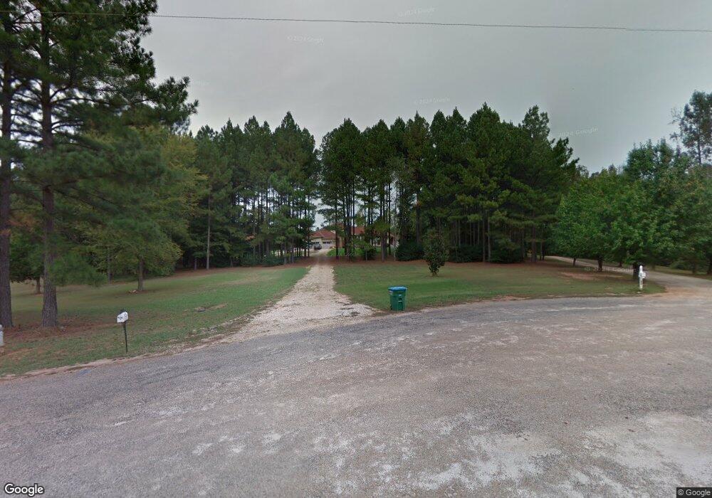
489 E Freeman St Maysville, GA 30558
Estimated Value: $640,166 - $712,000
5
Beds
5
Baths
4,152
Sq Ft
$161/Sq Ft
Est. Value
About This Home
This home is located at 489 E Freeman St, Maysville, GA 30558 and is currently estimated at $669,292, approximately $161 per square foot. 489 E Freeman St is a home located in Banks County with nearby schools including Banks County Primary School, Banks County Elementary School, and Banks County Middle School.
Ownership History
Date
Name
Owned For
Owner Type
Purchase Details
Closed on
Jun 10, 2021
Sold by
Hanley Abbie
Bought by
Brannon Rodney and Brannon Mary
Current Estimated Value
Purchase Details
Closed on
Mar 23, 2012
Sold by
Lawler Jerett T
Bought by
Lawler Abbie
Home Financials for this Owner
Home Financials are based on the most recent Mortgage that was taken out on this home.
Original Mortgage
$278,500
Interest Rate
3.97%
Mortgage Type
New Conventional
Create a Home Valuation Report for This Property
The Home Valuation Report is an in-depth analysis detailing your home's value as well as a comparison with similar homes in the area
Home Values in the Area
Average Home Value in this Area
Purchase History
| Date | Buyer | Sale Price | Title Company |
|---|---|---|---|
| Brannon Rodney | $469,000 | -- | |
| Lawler Abbie | -- | -- |
Source: Public Records
Mortgage History
| Date | Status | Borrower | Loan Amount |
|---|---|---|---|
| Previous Owner | Lawler Abbie | $278,500 |
Source: Public Records
Tax History
| Year | Tax Paid | Tax Assessment Tax Assessment Total Assessment is a certain percentage of the fair market value that is determined by local assessors to be the total taxable value of land and additions on the property. | Land | Improvement |
|---|---|---|---|---|
| 2025 | $5,252 | $300,975 | $35,631 | $265,344 |
| 2024 | $5,252 | $287,336 | $32,392 | $254,944 |
| 2023 | $3,925 | $224,352 | $34,748 | $189,604 |
| 2022 | $3,666 | $219,826 | $25,158 | $194,668 |
| 2021 | $3,697 | $189,350 | $19,353 | $169,997 |
| 2020 | $4,229 | $178,859 | $14,336 | $164,523 |
| 2019 | $4,249 | $178,859 | $14,336 | $164,523 |
| 2018 | $4,004 | $166,039 | $20,374 | $145,665 |
| 2017 | $4,065 | $165,469 | $19,804 | $145,665 |
| 2016 | $4,110 | $162,101 | $19,804 | $142,297 |
| 2015 | $3,777 | $162,101 | $19,804 | $142,297 |
| 2014 | $3,777 | $162,101 | $19,804 | $142,297 |
| 2013 | -- | $162,101 | $19,804 | $142,297 |
Source: Public Records
Map
Nearby Homes
- 1646 Mitchell Rd
- 2810 Highway 98
- 57 Eagle Heights Dr
- 0 Panhandler Circle (2c) Rd Unit 10727141
- 0 Panhandler Circle (2c) Rd Unit 7748758
- 23 Eagle Heights Dr
- 104 Eagle Heights Dr
- 191 Eagle Heights Dr
- 72 S Main St
- 362 Sims St
- 1478 Bob Mann Rd
- 8795 Maysville Rd
- 75 Meadow Lark Way
- 110 Liberty Freedom Ln
- 759 Eagle Heights Dr
- 718 Eagle Heights Dr
- 885 Eagle Heights Dr
- 939 Eagle Heights Dr
- 936 Eagle Heights Dr
- 301 Oak Ridge Dr
- 494 E Freeman St
- 492 E Freeman St
- 493 E Freeman St
- 474 E Freeman St
- 371 E Freeman St
- 467 E Freeman St
- 360 E Freeman St
- 335 E Freeman St
- 320 E Freeman St
- 403 Mitchell Rd
- 289 Mitchell Rd
- 287 Mitchell Rd
- E E Freeman St Unit 5
- E E Freeman St Unit LOT 3
- Lot 3 E Freeman St
- E E Freeman St
- 397 Mitchell Rd
- 359 Mitchell Rd
- 420 Mitchell Rd
- 434 Mitchell Rd
Your Personal Tour Guide
Ask me questions while you tour the home.