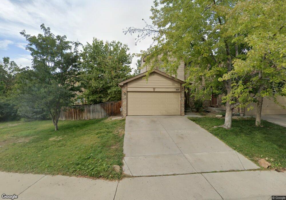
489 W 91st Cir Thornton, CO 80260
South Thornton NeighborhoodEstimated Value: $371,000 - $414,000
3
Beds
2
Baths
1,244
Sq Ft
$312/Sq Ft
Est. Value
About This Home
This home is located at 489 W 91st Cir, Thornton, CO 80260 and is currently estimated at $387,946, approximately $311 per square foot. 489 W 91st Cir is a home located in Adams County with nearby schools including North Mor Elementary School, Northglenn Middle School, and Northglenn High School.
Ownership History
Date
Name
Owned For
Owner Type
Purchase Details
Closed on
Mar 11, 2026
Sold by
Callas Kosta
Bought by
Kosta Callas Trust
Current Estimated Value
Purchase Details
Closed on
Oct 13, 1998
Sold by
Kaufman & Broad Of Colorado Inc
Bought by
Callas Kosta N
Home Financials for this Owner
Home Financials are based on the most recent Mortgage that was taken out on this home.
Original Mortgage
$96,132
Interest Rate
7%
Create a Home Valuation Report for This Property
The Home Valuation Report is an in-depth analysis detailing your home's value as well as a comparison with similar homes in the area
Home Values in the Area
Average Home Value in this Area
Purchase History
| Date | Buyer | Sale Price | Title Company |
|---|---|---|---|
| Kosta Callas Trust | -- | None Listed On Document | |
| Callas Kosta N | $120,165 | -- |
Source: Public Records
Mortgage History
| Date | Status | Borrower | Loan Amount |
|---|---|---|---|
| Previous Owner | Callas Kosta N | $96,132 |
Source: Public Records
Tax History
| Year | Tax Paid | Tax Assessment Tax Assessment Total Assessment is a certain percentage of the fair market value that is determined by local assessors to be the total taxable value of land and additions on the property. | Land | Improvement |
|---|---|---|---|---|
| 2025 | $2,703 | $28,020 | $5,920 | $22,100 |
| 2024 | $2,703 | $25,750 | $5,440 | $20,310 |
| 2023 | $2,676 | $28,610 | $5,410 | $23,200 |
| 2022 | $2,422 | $21,010 | $4,380 | $16,630 |
| 2021 | $2,502 | $21,010 | $4,380 | $16,630 |
| 2020 | $2,440 | $20,910 | $4,500 | $16,410 |
| 2019 | $2,444 | $20,910 | $4,500 | $16,410 |
| 2018 | $2,071 | $17,190 | $1,580 | $15,610 |
| 2017 | $1,886 | $17,190 | $1,580 | $15,610 |
| 2016 | $1,631 | $14,460 | $1,750 | $12,710 |
| 2015 | $1,629 | $14,460 | $1,750 | $12,710 |
| 2014 | -- | $10,400 | $1,750 | $8,650 |
Source: Public Records
Map
Nearby Homes
- 8944 Fox Dr Unit 103
- 8944 Fox Dr Unit 203
- 8910 Fox Dr Unit 15
- 8976 Fox Dr Unit 1102
- 425 Starlight Rd
- 663 Polaris Place
- 9162 Gale Blvd Unit 1
- 9184 Gale Blvd Unit 1
- 8701 Huron St Unit 5-210
- 8701 Huron St Unit 9-212
- 8701 Huron St Unit 1-210
- 8701 Huron St Unit 6-106
- 8701 Huron St Unit 10-209
- 9080 Gale Blvd Unit 3
- 9080 Gale Blvd Unit 1
- 1066 W 88th Ave
- 8745 Santa fe Dr
- 1104 W 88th Ave
- 9418 Lou Dr
- 1140 W 88th Ave Unit 53
Your Personal Tour Guide
Ask me questions while you tour the home.