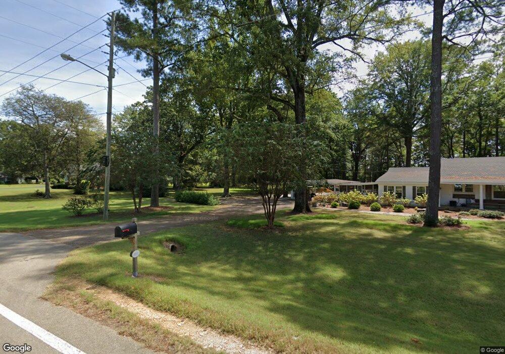
4891 W Main St Tupelo, MI 38801
Estimated Value: $258,000 - $336,000
3
Beds
2
Baths
2,194
Sq Ft
$138/Sq Ft
Est. Value
About This Home
This home is located at 4891 W Main St, Tupelo, MI 38801 and is currently estimated at $302,878, approximately $138 per square foot. 4891 W Main St is a home located in Lee County with nearby schools including Parkway Elementary School, Lawndale Elementary School, and Tupelo Middle School.
Ownership History
Date
Name
Owned For
Owner Type
Purchase Details
Closed on
Aug 10, 2020
Bought by
Parker Christopher T and Parker Amy W
Current Estimated Value
Purchase Details
Closed on
Sep 13, 2016
Sold by
Florence Mary
Bought by
Brown Marty and Helmuth Craig
Home Financials for this Owner
Home Financials are based on the most recent Mortgage that was taken out on this home.
Original Mortgage
$113,125
Interest Rate
3.45%
Mortgage Type
Purchase Money Mortgage
Create a Home Valuation Report for This Property
The Home Valuation Report is an in-depth analysis detailing your home's value as well as a comparison with similar homes in the area
Purchase History
| Date | Buyer | Sale Price | Title Company |
|---|---|---|---|
| Parker Christopher T | $245,000 | -- | |
| Brown Marty | -- | -- |
Source: Public Records
Mortgage History
| Date | Status | Borrower | Loan Amount |
|---|---|---|---|
| Previous Owner | Brown Marty | $113,125 |
Source: Public Records
Tax History
| Year | Tax Paid | Tax Assessment Tax Assessment Total Assessment is a certain percentage of the fair market value that is determined by local assessors to be the total taxable value of land and additions on the property. | Land | Improvement |
|---|---|---|---|---|
| 2025 | $2,402 | $17,665 | $0 | $0 |
| 2024 | $2,402 | $17,665 | $0 | $0 |
| 2023 | $1,641 | $12,259 | $0 | $0 |
| 2022 | $1,341 | $12,259 | $0 | $0 |
| 2021 | $1,341 | $12,259 | $0 | $0 |
| 2020 | $1,641 | $12,259 | $0 | $0 |
| 2019 | $1,230 | $11,431 | $0 | $0 |
| 2018 | $1,230 | $11,431 | $0 | $0 |
| 2017 | $1,224 | $11,431 | $0 | $0 |
| 2016 | $2,286 | $17,147 | $0 | $0 |
| 2015 | -- | $16,278 | $0 | $0 |
| 2014 | -- | $16,278 | $0 | $0 |
Source: Public Records
Map
Nearby Homes
- 958 Bissell Rd
- 4603 W Main St
- 0 Hwy 6
- 5128 Frog Meadow Ln
- 4260 Sydney Ln
- 4266 Sydney Ln
- 109 Silver Tree Crossing
- 165 Village Lake Dr
- 4168 Lincoln Dr
- 4700 Meadow Ridge Dr
- 293 Valley Vista Dr
- 4627 S Lake Dr
- 119 High Point Dr
- 5410 Turning Leaf Cove
- 4105 Rob Dr
- 0 Lot 26 Meadow Lake Dr
- 157 Harvester Square
- 130 Harvester Square
- 163 Road 1046
- 4 Hale Dr
- 4891 W Main St
- 5018 Main St
- 5018 W Main St
- 5076 W Main St
- 0 4562 W Main St
- 5126 W Main St
- 4852 W Main St
- 4879 Stonebridge Cove
- 4879 Stonebridge Cove
- 4827 W Main St
- 4889 Stonebridge Cove
- 4889 Stonebridge Cove
- 4869 Stonebridge Cove
- 4801 W Main St
- 4798 W Main St
- 4798 W Main St
- 4890 Stonebridge Cove
- 4847 Stonebridge Cove
- 1019 Bissell Rd
- 4773 W Main St
Your Personal Tour Guide
Ask me questions while you tour the home.