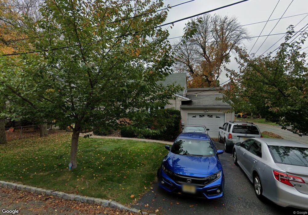
49 4th Ave Roseland, NJ 07068
Estimated Value: $669,268 - $775,000
Studio
--
Bath
1,766
Sq Ft
$414/Sq Ft
Est. Value
About This Home
This home is located at 49 4th Ave, Roseland, NJ 07068 and is currently estimated at $731,067, approximately $413 per square foot. 49 4th Ave is a home located in Essex County with nearby schools including Lester C. Noecker Elementary School, West Essex Middle School, and West Essex High School.
Ownership History
Date
Name
Owned For
Owner Type
Purchase Details
Closed on
Jul 9, 2009
Sold by
Ross Ana C and Ross John
Bought by
Ross John and Ross Ana C
Current Estimated Value
Create a Home Valuation Report for This Property
The Home Valuation Report is an in-depth analysis detailing your home's value as well as a comparison with similar homes in the area
Home Values in the Area
Average Home Value in this Area
Purchase History
| Date | Buyer | Sale Price | Title Company |
|---|---|---|---|
| Ross John | -- | Chancellor Title Agency Inc |
Source: Public Records
Tax History
| Year | Tax Paid | Tax Assessment Tax Assessment Total Assessment is a certain percentage of the fair market value that is determined by local assessors to be the total taxable value of land and additions on the property. | Land | Improvement |
|---|---|---|---|---|
| 2025 | $10,498 | $555,900 | $277,500 | $278,400 |
| 2024 | $7,829 | $581,600 | $277,500 | $304,100 |
| 2022 | $7,897 | $338,200 | $188,900 | $149,300 |
| 2021 | $7,789 | $338,200 | $188,900 | $149,300 |
| 2020 | $7,762 | $338,200 | $188,900 | $149,300 |
| 2019 | $7,691 | $338,200 | $188,900 | $149,300 |
| 2018 | $7,623 | $338,200 | $188,900 | $149,300 |
| 2017 | $7,620 | $338,200 | $188,900 | $149,300 |
| 2016 | $7,501 | $338,200 | $188,900 | $149,300 |
| 2015 | $7,518 | $338,200 | $188,900 | $149,300 |
| 2014 | $7,309 | $338,200 | $188,900 | $149,300 |
Source: Public Records
Map
Nearby Homes
- 78 Glen Ave
- 44 4th Ave
- 492 Eagle Rock Ave
- 15 Paradise Place Unit C0008
- 518 Eagle Rock Ave
- 16 Minnisink Dr
- 30 Clements Ct Unit C0079
- 88 Kent Dr Unit C0176
- 20 Conklin Ct Unit C0090
- 142 Passaic Ave
- 146 Passaic Ave
- 354 Beaufort Ave
- 192 Eagle Rock Ave
- 5 Locust Place
- 70 W Mcclellan Ave
- 11 Hawthorne Dr
- 32 W Mcclellan Ave
- 320 Beaufort Ave
- 41 W Mcclellan Ave
- 6 Cliffside Dr
Your Personal Tour Guide
Ask me questions while you tour the home.