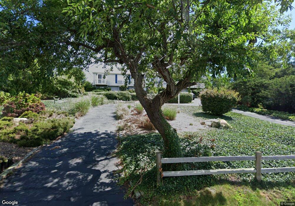
49 Cape Codder Rd Falmouth, MA 02540
West Falmouth NeighborhoodEstimated Value: $1,350,000 - $1,870,000
4
Beds
3
Baths
2,100
Sq Ft
$746/Sq Ft
Est. Value
About This Home
This home is located at 49 Cape Codder Rd, Falmouth, MA 02540 and is currently estimated at $1,566,767, approximately $746 per square foot. 49 Cape Codder Rd is a home located in Barnstable County with nearby schools including Mullen-Hall School, Morse Pond School, and Lawrence School.
Ownership History
Date
Name
Owned For
Owner Type
Purchase Details
Closed on
Jan 9, 2006
Sold by
Castoldi Mary E
Bought by
Moynihan Stephen H
Current Estimated Value
Home Financials for this Owner
Home Financials are based on the most recent Mortgage that was taken out on this home.
Original Mortgage
$400,000
Outstanding Balance
$224,963
Interest Rate
6.28%
Mortgage Type
Purchase Money Mortgage
Estimated Equity
$1,341,804
Create a Home Valuation Report for This Property
The Home Valuation Report is an in-depth analysis detailing your home's value as well as a comparison with similar homes in the area
Home Values in the Area
Average Home Value in this Area
Purchase History
| Date | Buyer | Sale Price | Title Company |
|---|---|---|---|
| Moynihan Stephen H | $960,000 | -- |
Source: Public Records
Mortgage History
| Date | Status | Borrower | Loan Amount |
|---|---|---|---|
| Open | Moynihan Stephen H | $400,000 |
Source: Public Records
Tax History
| Year | Tax Paid | Tax Assessment Tax Assessment Total Assessment is a certain percentage of the fair market value that is determined by local assessors to be the total taxable value of land and additions on the property. | Land | Improvement |
|---|---|---|---|---|
| 2025 | $7,400 | $1,260,600 | $794,100 | $466,500 |
| 2024 | $6,992 | $1,113,400 | $689,100 | $424,300 |
| 2023 | $7,049 | $1,018,600 | $689,100 | $329,500 |
| 2022 | $7,813 | $970,600 | $669,000 | $301,600 |
| 2021 | $7,521 | $884,800 | $613,200 | $271,600 |
| 2020 | $7,122 | $829,100 | $557,500 | $271,600 |
| 2019 | $6,848 | $800,000 | $557,500 | $242,500 |
| 2018 | $6,800 | $790,700 | $557,500 | $233,200 |
| 2017 | $6,676 | $782,700 | $557,500 | $225,200 |
| 2016 | $6,549 | $782,400 | $557,500 | $224,900 |
| 2015 | $6,408 | $782,400 | $557,500 | $224,900 |
| 2014 | $6,370 | $781,600 | $557,600 | $224,000 |
Source: Public Records
Map
Nearby Homes
- 39 Upland Ave
- 72 Loop Rd
- 16 Meltiah Rd
- 40 Woodrise Unit 40
- 141 Braeside Rd
- 12 Woodrise Unit 12
- 37 Carlson Ln Unit 12
- 182 Woods Hole Rd
- 0 Howes Ln
- 33 Oakwood Ave
- 10 Grouse St
- 28 Pondlet Place
- 251 Woods Hole Rd
- 16 Lt Hauser Ln Unit 3
- 0 Chapoquoit Rd
- 100 Dillingham Ave Unit 101A
- 100 Dillingham Ave Unit A101
- 537 W Falmouth Hwy
- 15 Hedge Ln
- 480 Main St Unit 13
- 53 Cape Codder Rd
- 45 Cape Codder Rd
- 8 Spindrift Hill
- 8 Spindrift Hill
- 6 Spindrift Hill
- 50 Cape Codder Rd
- 46 Cape Codder Rd
- 52 Cape Codder Rd
- 57 Cape Codder Rd
- 41 Cape Codder Rd
- 6 Spindrift Hill
- 10 Spindrift Hill
- 10 Spindrift Hill
- 4 Spindrift Hill
- 58 Cape Codder Rd
- 42 Cape Codder Rd
- 39 Cape Codder Rd
- 39 Cape Codder Rd Unit Lot 4
- 0 Spindrift Hill
- 47 Beccles Rd
Your Personal Tour Guide
Ask me questions while you tour the home.