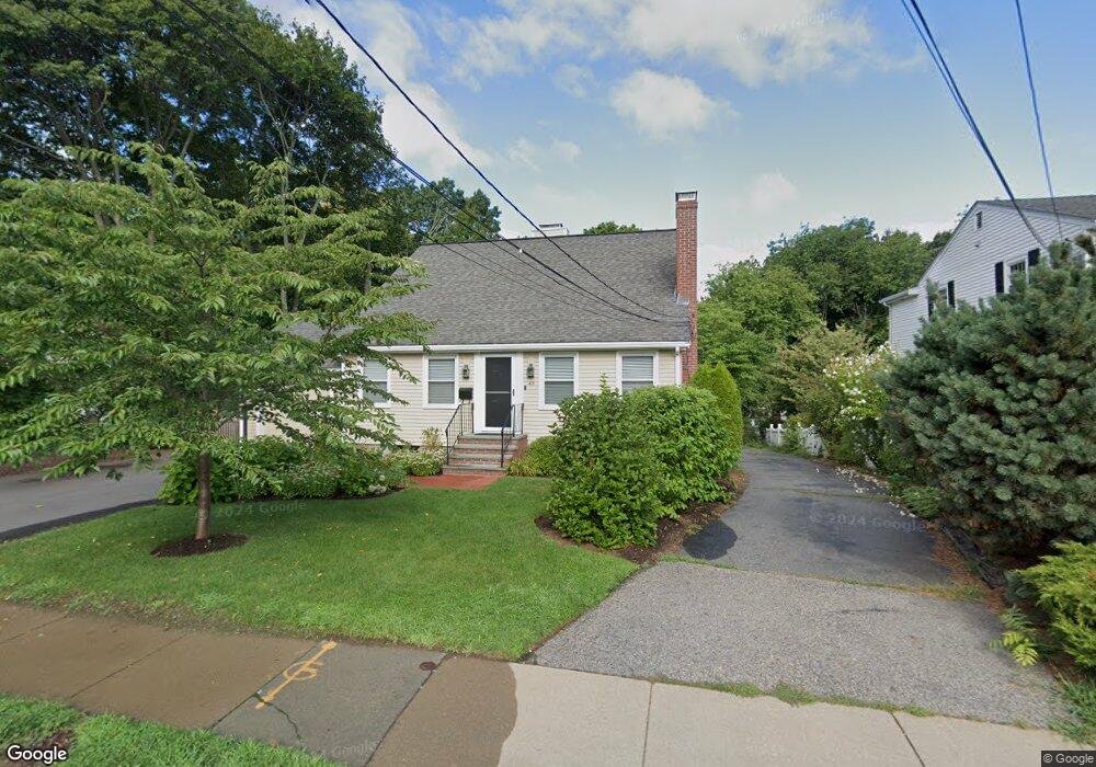
49 Charles St Auburndale, MA 02466
Auburndale NeighborhoodEstimated Value: $793,548 - $967,000
3
Beds
2
Baths
1,406
Sq Ft
$614/Sq Ft
Est. Value
About This Home
This home is located at 49 Charles St, Auburndale, MA 02466 and is currently estimated at $862,887, approximately $613 per square foot. 49 Charles St is a home located in Middlesex County with nearby schools including Williams Elementary School, Charles E Brown Middle School, and Newton South High School.
Ownership History
Date
Name
Owned For
Owner Type
Purchase Details
Closed on
May 29, 1996
Sold by
Jacobson Susan C
Bought by
Starr Alan M and Starr Lauren A
Current Estimated Value
Home Financials for this Owner
Home Financials are based on the most recent Mortgage that was taken out on this home.
Original Mortgage
$180,800
Interest Rate
7.91%
Mortgage Type
Purchase Money Mortgage
Create a Home Valuation Report for This Property
The Home Valuation Report is an in-depth analysis detailing your home's value as well as a comparison with similar homes in the area
Home Values in the Area
Average Home Value in this Area
Purchase History
| Date | Buyer | Sale Price | Title Company |
|---|---|---|---|
| Starr Alan M | $226,000 | -- |
Source: Public Records
Mortgage History
| Date | Status | Borrower | Loan Amount |
|---|---|---|---|
| Open | Starr Alan M | $354,500 | |
| Closed | Starr Alan M | $192,000 | |
| Closed | Starr Alan M | $180,800 |
Source: Public Records
Tax History
| Year | Tax Paid | Tax Assessment Tax Assessment Total Assessment is a certain percentage of the fair market value that is determined by local assessors to be the total taxable value of land and additions on the property. | Land | Improvement |
|---|---|---|---|---|
| 2025 | $7,186 | $733,300 | $0 | $733,300 |
| 2024 | $6,948 | $711,900 | $0 | $711,900 |
| 2023 | $6,796 | $667,600 | $0 | $667,600 |
| 2022 | $6,689 | $635,800 | $0 | $635,800 |
| 2021 | $6,454 | $599,800 | $0 | $599,800 |
| 2020 | $6,262 | $599,800 | $0 | $599,800 |
| 2019 | $6,085 | $582,300 | $0 | $582,300 |
| 2018 | $6,089 | $562,800 | $0 | $562,800 |
| 2017 | $5,904 | $530,900 | $0 | $530,900 |
| 2016 | $5,647 | $496,200 | $0 | $496,200 |
| 2015 | $5,487 | $472,600 | $0 | $472,600 |
Source: Public Records
Map
Nearby Homes
- 126 Charles St (Aub)
- 283 Melrose St
- 49 Grove St Unit 2
- 3 Ware Rd
- 440 Wolcott St
- 2031 Commonwealth Ave
- 194 Auburn St
- 1935 Commonwealth Ave Unit 1935
- 44 Meadowbrook Rd
- 75 Auburn St Unit 77
- 20-22 Greenough St
- 73 Auburn St Unit 75
- 22 Irene Cir
- 245 Webster St
- 455 Waban Ave
- 2323 Washington St Unit 1-6
- 1640 Commonwealth Ave
- 83 Prospect St
- 93-95 Riverview Ave
- 90 Auburndale Ave
- 47 Charles St
- 47 Charles St Unit 2
- 43 Charles St Unit 45
- 59 Charles St
- 59 Charles St Unit 1
- 59 Charles St Unit Left
- 59 Charles St
- 59 Charles St Unit 2
- 59 Charles St Unit 59
- 00 Charles St
- 57 Charles St
- 57 Charles St Unit 1
- 57 Charles St
- 57 Charles St Unit 57
- 39 Charles St
- 39 Charles St Unit B
- 39 Charles St Unit 39B
- 39 Charles St Unit 39A
- 3 Newland St
- 63 Charles St
Your Personal Tour Guide
Ask me questions while you tour the home.