49 Clarence Rd Gurdon, AR 71743
Estimated Value: $84,333 - $152,000
Studio
1
Bath
1,236
Sq Ft
$95/Sq Ft
Est. Value
About This Home
This home is located at 49 Clarence Rd, Gurdon, AR 71743 and is currently estimated at $117,444, approximately $95 per square foot. 49 Clarence Rd is a home located in Clark County with nearby schools including Gurdon Primary School, Cabe Middle School, and Gurdon High School.
Ownership History
Date
Name
Owned For
Owner Type
Purchase Details
Closed on
Nov 30, 2023
Sold by
Commissioner Of State Lands
Bought by
Earnest Clarence and Wiley Christine
Current Estimated Value
Purchase Details
Closed on
Feb 16, 2017
Sold by
Clark County Commissoner
Bought by
Earnest Clarenece and Wiley Christine
Purchase Details
Closed on
Jun 23, 2015
Bought by
Wiley Clarence Earnest and Wiley Christine
Purchase Details
Closed on
Dec 7, 1988
Bought by
Wiley Clarence Earnest and Wiley Christine
Purchase Details
Closed on
May 10, 1958
Bought by
Wiley Clarence Earnets and Wiley Christine
Create a Home Valuation Report for This Property
The Home Valuation Report is an in-depth analysis detailing your home's value as well as a comparison with similar homes in the area
Purchase History
| Date | Buyer | Sale Price | Title Company |
|---|---|---|---|
| Earnest Clarence | -- | None Listed On Document | |
| Earnest Clarenece | $248 | -- | |
| Wiley Clarence Earnest | -- | -- | |
| Wiley Clarence Earnest | $4,000 | -- | |
| Wiley Clarence Earnets | -- | -- |
Source: Public Records
Tax History
| Year | Tax Paid | Tax Assessment Tax Assessment Total Assessment is a certain percentage of the fair market value that is determined by local assessors to be the total taxable value of land and additions on the property. | Land | Improvement |
|---|---|---|---|---|
| 2025 | $13 | $10,890 | $1,250 | $9,640 |
| 2024 | $13 | $7,910 | $830 | $7,080 |
| 2023 | $13 | $7,910 | $830 | $7,080 |
| 2022 | $11 | $7,910 | $830 | $7,080 |
| 2021 | $11 | $7,910 | $830 | $7,080 |
| 2020 | $11 | $7,910 | $830 | $7,080 |
| 2019 | $14 | $6,870 | $890 | $5,980 |
| 2018 | $13 | $6,870 | $890 | $5,980 |
| 2017 | $12 | $6,870 | $890 | $5,980 |
| 2016 | $13 | $6,870 | $890 | $5,980 |
| 2015 | $12 | $6,870 | $890 | $5,980 |
| 2014 | $14 | $4,905 | $930 | $3,975 |
Source: Public Records
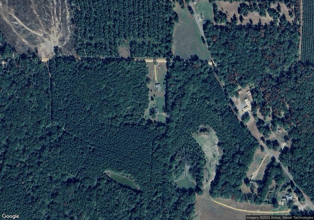
Map
Nearby Homes
- 705 N 9th St
- 7104 Highway 67 S
- 908 E Pine St
- 109 N 7th St
- 0000 Arkansas 53
- 110 S 10th St
- 0 S 6th St
- 000 Red Springs Rd
- 1414 Ar-53 South Hwy
- 196 Stevenson Rd
- 602 Stevenson Rd
- 1029 Center Point Rd
- 58 Dodgen Rd
- 4174 Central Rd
- 52 Curtis Rd
- 72 Curtis Rd
- 82 Curtis Rd
- 108 Curtis Rd
- 1491 Southfork Rd
- 390 Curtis Rd
- 43 Clarence Rd
- 300 Highway 53 N
- 204 Highway 53 N
- 326 Highway 53 N
- 181 Highway 53 N
- 332 Highway 53 N
- 357 Highway 53 N
- 143 Highway 53 N
- 129 Highway 53 N
- 391 Highway 53 N
- 0 Highway 53 Unit 24588554
- 0 Highway 53 Unit 25831130
- 0 Highway 53 Unit 17008331
- 93 Highway 53 N
- 387 Highway 537
- 2 Sloan Rd
- 100 Potter Rd
- 389 Highway 53 N
- 19 Highway 53 N
- 25 Highway 53 N
Your Personal Tour Guide
Ask me questions while you tour the home.