49 Crest Rd Monson, MA 01057
Estimated Value: $372,234 - $534,000
4
Beds
2
Baths
1,976
Sq Ft
$221/Sq Ft
Est. Value
About This Home
This home is located at 49 Crest Rd, Monson, MA 01057 and is currently estimated at $437,559, approximately $221 per square foot. 49 Crest Rd is a home located in Hampden County with nearby schools including Quarry Hill Community School, Granite Valley School, and Monson High School.
Ownership History
Date
Name
Owned For
Owner Type
Purchase Details
Closed on
Mar 31, 2000
Sold by
Monson Untd Meth Chrch
Bought by
Dulin Keith A
Current Estimated Value
Home Financials for this Owner
Home Financials are based on the most recent Mortgage that was taken out on this home.
Original Mortgage
$125,350
Outstanding Balance
$43,469
Interest Rate
8.4%
Mortgage Type
Purchase Money Mortgage
Estimated Equity
$394,090
Purchase Details
Closed on
Jul 1, 1992
Sold by
Moriarty Robert J and Moriarty Christine
Bought by
Monson Untd Methodist
Create a Home Valuation Report for This Property
The Home Valuation Report is an in-depth analysis detailing your home's value as well as a comparison with similar homes in the area
Home Values in the Area
Average Home Value in this Area
Purchase History
We collect this data history from publicly available records. To have your information removed, we recommend requesting removal directly through your county’s website.
| Date | Buyer | Sale Price | Title Company |
|---|---|---|---|
| Dulin Keith A | $131,950 | -- | |
| Monson Untd Methodist | $110,000 | -- |
Source: Public Records
Mortgage History
We collect this data history from publicly available records. To have your information removed, we recommend requesting removal directly through your county’s website.
| Date | Status | Borrower | Loan Amount |
|---|---|---|---|
| Open | Monson Untd Methodist | $125,350 | |
| Previous Owner | Monson Untd Methodist | $65,000 |
Source: Public Records
Tax History
| Year | Tax Paid | Tax Assessment Tax Assessment Total Assessment is a certain percentage of the fair market value that is determined by local assessors to be the total taxable value of land and additions on the property. | Land | Improvement |
|---|---|---|---|---|
| 2025 | $4,918 | $330,700 | $56,500 | $274,200 |
| 2024 | $4,763 | $307,300 | $56,500 | $250,800 |
| 2023 | $4,411 | $278,100 | $56,500 | $221,600 |
| 2022 | $4,222 | $236,800 | $56,500 | $180,300 |
| 2021 | $3,918 | $216,200 | $56,500 | $159,700 |
| 2020 | $3,950 | $216,200 | $56,500 | $159,700 |
| 2019 | $3,774 | $205,800 | $56,500 | $149,300 |
| 2018 | $4,490 | $205,200 | $62,700 | $142,500 |
| 2017 | $3,440 | $197,600 | $60,300 | $137,300 |
| 2016 | $3,302 | $192,900 | $60,200 | $132,700 |
| 2015 | $3,216 | $192,900 | $60,200 | $132,700 |
| 2014 | $3,125 | $192,900 | $60,200 | $132,700 |
Source: Public Records
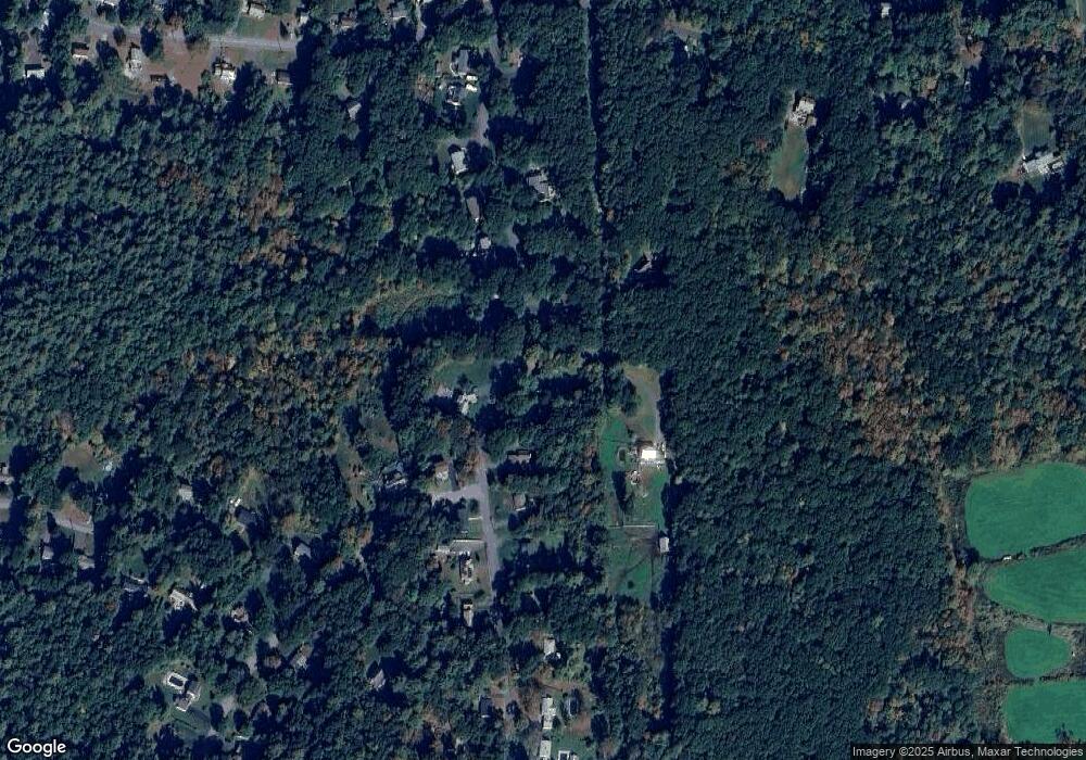
Map
Nearby Homes
- 166V Beebe Rd
- 84 Bethany Rd
- Lot B Brimfield Rd
- 0 Palmer Rd
- 22 Country Club Dr
- 4 Stewart Ave
- 34 Main St
- 42 Washington St
- 0 Mccray Cir
- 11V Old Reed Rd
- 241 Palmer Rd
- 113 Fenton Rd
- 9 calle NW
- 9 calle 8-95 Zona11
- 9 Calle 8-92 Zona 11
- 268 Palmer Rd Unit 27
- 17 King Ave
- 1086 S Main St
- 273 Dunhamtown Palmer Rd
- 127 Munn Rd
Your Personal Tour Guide
Ask me questions while you tour the home.