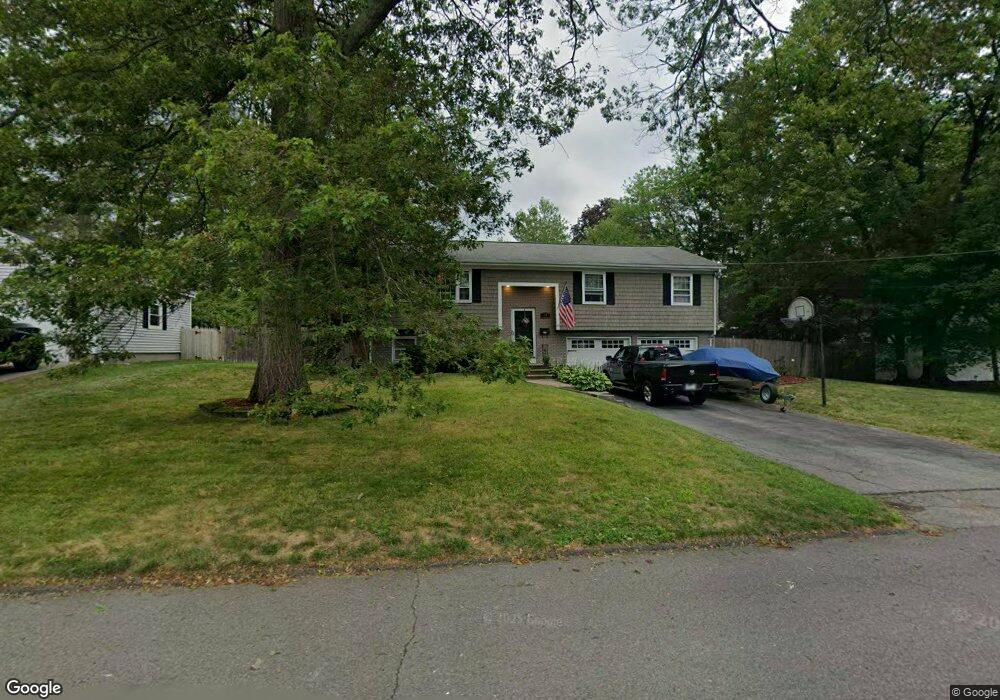
49 David Rd North Attleboro, MA 02760
North Attleborough AreaEstimated Value: $525,000 - $626,000
About This Home
This home is located at 49 David Rd, North Attleboro, MA 02760 and is currently estimated at $582,505, approximately $451 per square foot. 49 David Rd is a home located in Bristol County with nearby schools including North Attleboro High School, Discovery Daycare Center, and Bishop Feehan High School.
Ownership History
We collect this data history from publicly available records. To have your information removed, we recommend requesting removal directly through your county’s website.
Purchase Details
Purchase Details
Home Values in the Area
Average Home Value in this Area
Purchase History
We collect this data history from publicly available records. To have your information removed, we recommend requesting removal directly through your county’s website.
| Date | Buyer | Sale Price | Title Company |
|---|---|---|---|
| -- | -- | ||
| $135,000 | -- |
Mortgage History
We collect this data history from publicly available records. To have your information removed, we recommend requesting removal directly through your county’s website.
| Date | Status | Borrower | Loan Amount |
|---|---|---|---|
| Previous Owner | $75,000 | ||
| Previous Owner | $235,000 | ||
| Previous Owner | $43,954 | ||
| Previous Owner | $276,000 | ||
| Previous Owner | $264,000 | ||
| Previous Owner | $234,000 | ||
| Previous Owner | $221,568 | ||
| Previous Owner | $16,200 | ||
| Previous Owner | $111,510 | ||
| Previous Owner | $15,000 | ||
| Previous Owner | $10,000 |
Tax History
We collect this data history from publicly available records. To have your information removed, we recommend requesting removal directly through your county’s website.
| Year | Tax Paid | Tax Assessment Tax Assessment Total Assessment is a certain percentage of the fair market value that is determined by local assessors to be the total taxable value of land and additions on the property. | Land | Improvement |
|---|---|---|---|---|
| 2025 | $5,625 | $477,100 | $144,000 | $333,100 |
| 2024 | $5,428 | $470,400 | $144,000 | $326,400 |
| 2023 | $5,597 | $437,600 | $150,300 | $287,300 |
| 2022 | $5,317 | $381,700 | $144,000 | $237,700 |
| 2021 | $5,320 | $372,800 | $144,000 | $228,800 |
| 2020 | $5,173 | $360,500 | $144,000 | $216,500 |
| 2019 | $4,947 | $347,400 | $130,900 | $216,500 |
| 2018 | $4,400 | $329,800 | $130,900 | $198,900 |
| 2017 | $4,197 | $317,500 | $130,900 | $186,600 |
| 2016 | $4,148 | $313,800 | $151,800 | $162,000 |
| 2015 | $3,951 | $300,700 | $158,100 | $142,600 |
| 2014 | $3,716 | $280,700 | $138,800 | $141,900 |
Map
- 15 Calvin Rd
- 80 Broadway Unit 59
- 130 E Washington St Unit 34
- 62 Ash St
- 157 Westside Ave
- 202 S Washington St
- 121 E Washington St Unit 5
- 121 E Washington St Unit 9
- 121 E Washington St Unit 24
- 121 E Washington St Unit 2
- 121 E Washington St Unit Lot 4
- 121 E Washington St Unit 12
- 121 E Washington St Unit Lot 3
- 121 E Washington St Unit 10
- 121 E Washington St Unit 7
- 121 E Washington St Unit 1
- 1 Gertrude Rd
- 11 Primrose Terrace
- 300 E Washington St Unit 11 NW
- 300 E Washington St Unit 11R
Ask me questions while you tour the home.