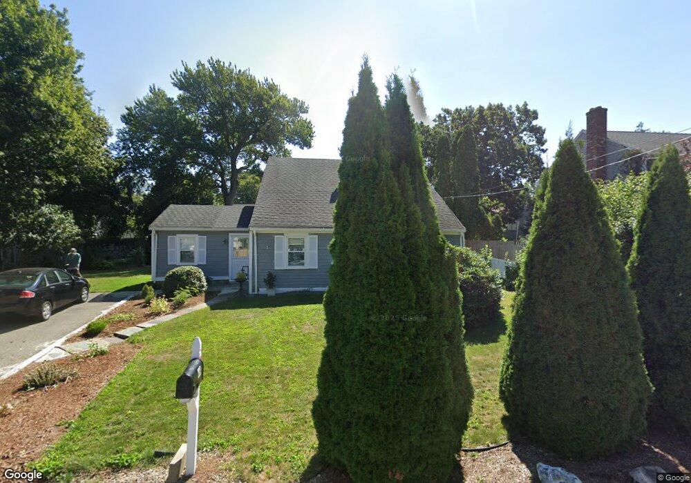
49 Fay Rd Scituate, MA 02066
Estimated Value: $753,415 - $840,000
2
Beds
1
Bath
1,612
Sq Ft
$502/Sq Ft
Est. Value
About This Home
This home is located at 49 Fay Rd, Scituate, MA 02066 and is currently estimated at $809,604, approximately $502 per square foot. 49 Fay Rd is a home located in Plymouth County with nearby schools including Wampatuck Elementary School, Lester J. Gates Middle School, and Scituate High School.
Ownership History
Date
Name
Owned For
Owner Type
Purchase Details
Closed on
Apr 7, 2025
Sold by
Deandrade Benjamin and Deandrade Francisca
Bought by
Andrade Ft and Andrade
Current Estimated Value
Purchase Details
Closed on
Jan 1, 1976
Bought by
Deandrade Benjamin and Deandrade Fransisca
Create a Home Valuation Report for This Property
The Home Valuation Report is an in-depth analysis detailing your home's value as well as a comparison with similar homes in the area
Home Values in the Area
Average Home Value in this Area
Purchase History
We collect this data history from publicly available records. To have your information removed, we recommend requesting removal directly through your county’s website.
| Date | Buyer | Sale Price | Title Company |
|---|---|---|---|
| Andrade Ft | -- | None Available | |
| Deandrade Benjamin | -- | -- |
Source: Public Records
Mortgage History
We collect this data history from publicly available records. To have your information removed, we recommend requesting removal directly through your county’s website.
| Date | Status | Borrower | Loan Amount |
|---|---|---|---|
| Previous Owner | Deandrade Benjamin | $48,000 | |
| Previous Owner | Deandrade Benjamin | $45,000 |
Source: Public Records
Tax History
| Year | Tax Paid | Tax Assessment Tax Assessment Total Assessment is a certain percentage of the fair market value that is determined by local assessors to be the total taxable value of land and additions on the property. | Land | Improvement |
|---|---|---|---|---|
| 2025 | $6,087 | $609,300 | $397,300 | $212,000 |
| 2024 | $5,929 | $572,300 | $361,200 | $211,100 |
| 2023 | $5,694 | $519,000 | $328,400 | $190,600 |
| 2022 | $5,694 | $451,200 | $275,200 | $176,000 |
| 2021 | $5,328 | $399,700 | $249,000 | $150,700 |
| 2020 | $5,080 | $376,300 | $239,400 | $136,900 |
| 2019 | $5,025 | $365,700 | $234,700 | $131,000 |
| 2018 | $4,975 | $356,600 | $250,300 | $106,300 |
| 2017 | $4,877 | $346,100 | $239,800 | $106,300 |
| 2016 | $4,600 | $325,300 | $219,000 | $106,300 |
| 2015 | $4,124 | $314,800 | $208,500 | $106,300 |
Source: Public Records
Map
Nearby Homes
- 12 Hawley Rd
- 5 Brand Blvd Unit 5
- 14 Christopher Ln
- 6 Wheeler Ave
- 57 Oceanside Dr
- 49 Jackson Rd
- 23 Oceanside Dr
- 74 Branch St Unit 15
- 74 Branch St Unit 5
- 6 Minot Light Ave
- 430 Hatherly Rd Unit Exhibit “A”
- 430 Hatherly Rd Unit Exhibit “B”
- 33 Whittier Dr
- 32 Barker Rd Unit 3
- 81 Surfside Rd
- 11 Brookline Rd
- 41 Utility Rd
- 25 Grace Way
- 23 Grace Way
- 6 Grace Way Unit 6
Your Personal Tour Guide
Ask me questions while you tour the home.