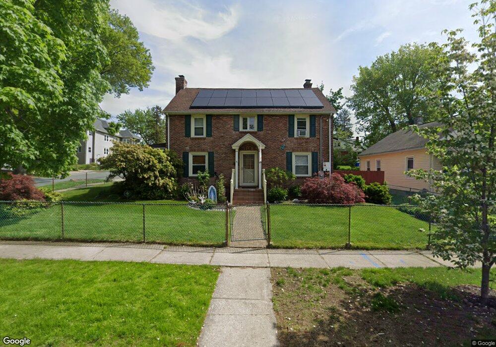
49 Mayfair Ave Springfield, MA 01104
Liberty Heights NeighborhoodEstimated Value: $295,142 - $359,000
About This Home
This home is located at 49 Mayfair Ave, Springfield, MA 01104 and is currently estimated at $325,786, approximately $171 per square foot. 49 Mayfair Ave is a home located in Hampden County with nearby schools including Edward P. Boland School, High School Of Commerce, and Springfield High School of Science and Technology.
Ownership History
We collect this data history from publicly available records. To have your information removed, we recommend requesting removal directly through your county’s website.
Purchase Details
Home Financials for this Owner
Home Financials are based on the most recent Mortgage that was taken out on this home.Home Values in the Area
Average Home Value in this Area
Purchase History
We collect this data history from publicly available records. To have your information removed, we recommend requesting removal directly through your county’s website.
| Date | Buyer | Sale Price | Title Company |
|---|---|---|---|
| $90,000 | -- |
Mortgage History
We collect this data history from publicly available records. To have your information removed, we recommend requesting removal directly through your county’s website.
| Date | Status | Borrower | Loan Amount |
|---|---|---|---|
| Open | $140,109 | ||
| Closed | $20,000 | ||
| Closed | $85,500 | ||
| Previous Owner | $60,000 |
Tax History
We collect this data history from publicly available records. To have your information removed, we recommend requesting removal directly through your county’s website.
| Year | Tax Paid | Tax Assessment Tax Assessment Total Assessment is a certain percentage of the fair market value that is determined by local assessors to be the total taxable value of land and additions on the property. | Land | Improvement |
|---|---|---|---|---|
| 2025 | $4,114 | $262,400 | $31,300 | $231,100 |
| 2024 | $4,018 | $250,200 | $31,300 | $218,900 |
| 2023 | $3,985 | $233,700 | $28,400 | $205,300 |
| 2022 | $3,819 | $202,900 | $26,600 | $176,300 |
| 2021 | $3,394 | $179,600 | $24,200 | $155,400 |
| 2020 | $3,381 | $173,100 | $24,200 | $148,900 |
| 2019 | $3,344 | $169,900 | $24,200 | $145,700 |
| 2018 | $3,076 | $156,300 | $24,200 | $132,100 |
| 2017 | $2,758 | $140,300 | $25,700 | $114,600 |
| 2016 | $2,733 | $139,000 | $25,700 | $113,300 |
| 2015 | $2,661 | $135,300 | $25,700 | $109,600 |
Map
- 127 Melha Ave
- 33-35 Algonquin Place
- 179 Knollwood St
- 85 Narragansett St
- 540 Armory St
- 585 Armory St
- 116-118 Massasoit St
- 459-461 Armory St
- 646-648 Carew St
- 78 Governor St
- 53-55 Allendale St
- 42 Ringgold St
- 14 Crane St
- 827-831 Armory St
- 127 Governor St
- 26 Hebron St
- 774-776 Liberty St
- 38 Phoenix St
- 14-16 Wolcott St
- 907-909 Liberty St
- 66 Knollwood St Unit 2A
- 66 Knollwood St
- 64 Knollwood St Unit 66
- 64-66 Knollwood St
- 70 Knollwood St
- 74 Knollwood St Unit 76
- 59 Mayfair Ave
- 74-76 Knollwood St
- 61 Knollwood St
- 50 Knollwood St Unit 52
- 65 Mayfair Ave Unit 67
- 65-67 Mayfair Ave
- 65 Knollwood St
- 80 Knollwood St
- 59 Knollwood St Unit 61
- 59 Knollwood St Unit 1
- 69 Knollwood St Unit 71
- 71 Mayfair Ave Unit 73
- 46 Knollwood St
- 75 Knollwood St
Ask me questions while you tour the home.