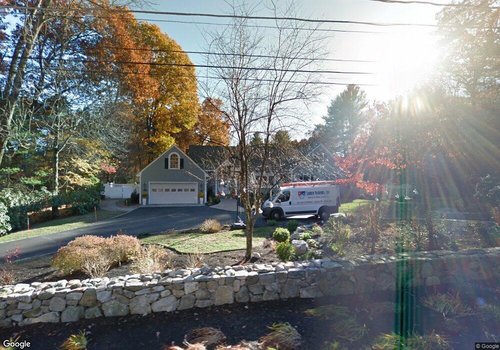
49 Newbridge Rd Sudbury, MA 01776
Sudbury AreaEstimated Value: $1,618,000 - $1,939,000
About This Home
This home is located at 49 Newbridge Rd, Sudbury, MA 01776 and is currently estimated at $1,733,199, approximately $417 per square foot. 49 Newbridge Rd is a home located in Middlesex County with nearby schools including General John Nixon Elementary School, Ephraim Curtis Middle School, and Lincoln-Sudbury Regional High School.
Ownership History
We collect this data history from publicly available records. To have your information removed, we recommend requesting removal directly through your county’s website.
Purchase Details
Home Values in the Area
Average Home Value in this Area
Purchase History
We collect this data history from publicly available records. To have your information removed, we recommend requesting removal directly through your county’s website.
| Date | Buyer | Sale Price | Title Company |
|---|---|---|---|
| -- | -- |
Mortgage History
We collect this data history from publicly available records. To have your information removed, we recommend requesting removal directly through your county’s website.
| Date | Status | Borrower | Loan Amount |
|---|---|---|---|
| Open | $388,000 | ||
| Closed | $500,000 |
Tax History
We collect this data history from publicly available records. To have your information removed, we recommend requesting removal directly through your county’s website.
| Year | Tax Paid | Tax Assessment Tax Assessment Total Assessment is a certain percentage of the fair market value that is determined by local assessors to be the total taxable value of land and additions on the property. | Land | Improvement |
|---|---|---|---|---|
| 2025 | $20,566 | $1,404,800 | $557,600 | $847,200 |
| 2024 | $19,798 | $1,355,100 | $541,600 | $813,500 |
| 2023 | $20,100 | $1,274,600 | $484,800 | $789,800 |
| 2022 | $19,048 | $1,055,300 | $445,600 | $609,700 |
| 2021 | $17,992 | $955,500 | $445,600 | $509,900 |
| 2020 | $17,629 | $955,500 | $445,600 | $509,900 |
| 2019 | $17,113 | $955,500 | $445,600 | $509,900 |
| 2018 | $17,059 | $951,400 | $473,200 | $478,200 |
| 2017 | $16,317 | $919,800 | $468,800 | $451,000 |
| 2016 | $15,737 | $884,100 | $451,200 | $432,900 |
| 2015 | $13,860 | $787,500 | $447,200 | $340,300 |
| 2014 | $13,861 | $768,800 | $435,600 | $333,200 |
Map
- 113 Newbridge Rd
- 136 Plympton Rd
- 177 Plympton Rd
- 563 Concord Rd
- 28 Thompson Dr
- 295 Concord Rd
- 315 Goodmans Hill Rd
- 45 Widow Rights Ln
- 96 Hudson Rd
- 189 Morse Rd
- 8-10 Concord Road (&356 Bostonpost)
- Lot 5 Sailaway Ln
- Lot 9 Sailaway Ln
- 1B Quaboag Valley Co-Op St
- 8 Mina Way
- Lot 4 Sailaway Ln
- 4 Northwest Unit 4
- 125 Hudson Rd
- 22 Demarco Rd
- 8 Twillingate Rd
- 48 Newbridge Rd
- 54 Newbridge Rd
- 57 Newbridge Rd
- 41 Newbridge Rd
- 62 Newbridge Rd
- 62 Newbridge Rd Unit 62
- 42 Newbridge Rd Unit 3
- 42 Newbridge Rd
- 65 Newbridge Rd
- 74 Newbridge Rd
- 14 Bowen Cir
- 31 Newbridge Rd
- 82 Newbridge Rd
- 71 Newbridge Rd
- 72 Plympton Rd
- 20 Bowen Cir
- 92 Newbridge Rd
- 81 Newbridge Rd
- 40 Clark Rd
- 173 Water Row
Ask me questions while you tour the home.