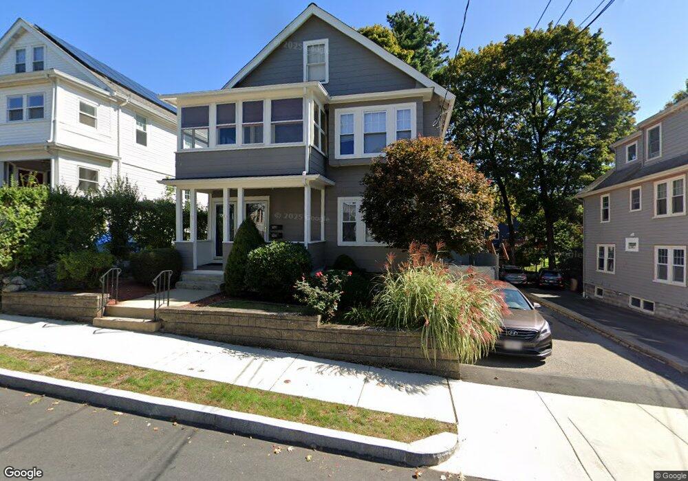
49 Newland Rd Unit 51 Arlington, MA 02474
Arlington Heights NeighborhoodEstimated Value: $908,000 - $1,294,000
About This Home
This home is located at 49 Newland Rd Unit 51, Arlington, MA 02474 and is currently estimated at $1,110,948, approximately $508 per square foot. 49 Newland Rd Unit 51 is a home located in Middlesex County with nearby schools including Peirce Elementary School, Ottoson Middle School, and Arlington High School.
Ownership History
We collect this data history from publicly available records. To have your information removed, we recommend requesting removal directly through your county’s website.
Purchase Details
Purchase Details
Home Values in the Area
Average Home Value in this Area
Purchase History
We collect this data history from publicly available records. To have your information removed, we recommend requesting removal directly through your county’s website.
| Date | Buyer | Sale Price | Title Company |
|---|---|---|---|
| -- | -- | ||
| $185,000 | -- | ||
| $185,000 | -- |
Mortgage History
We collect this data history from publicly available records. To have your information removed, we recommend requesting removal directly through your county’s website.
| Date | Status | Borrower | Loan Amount |
|---|---|---|---|
| Previous Owner | $315,000 | ||
| Previous Owner | $68,000 | ||
| Previous Owner | $186,000 |
Tax History
We collect this data history from publicly available records. To have your information removed, we recommend requesting removal directly through your county’s website.
| Year | Tax Paid | Tax Assessment Tax Assessment Total Assessment is a certain percentage of the fair market value that is determined by local assessors to be the total taxable value of land and additions on the property. | Land | Improvement |
|---|---|---|---|---|
| 2025 | $9,771 | $907,200 | $444,600 | $462,600 |
| 2024 | $9,078 | $857,200 | $428,000 | $429,200 |
| 2023 | $9,647 | $860,600 | $400,200 | $460,400 |
| 2022 | $9,653 | $845,300 | $389,000 | $456,300 |
| 2021 | $9,353 | $824,800 | $389,000 | $435,800 |
| 2020 | $9,128 | $825,300 | $389,000 | $436,300 |
| 2019 | $8,141 | $723,000 | $383,500 | $339,500 |
| 2018 | $7,692 | $634,100 | $294,600 | $339,500 |
| 2017 | $7,493 | $596,600 | $277,900 | $318,700 |
| 2016 | $7,352 | $574,400 | $255,700 | $318,700 |
| 2015 | $7,092 | $523,400 | $239,000 | $284,400 |
Map
- 1 Watermill Place Unit 319
- 1 Watermill Place Unit 520
- 1 Watermill Place Unit 316
- 1 Watermill Place Unit 516
- 7 Park Avenue Extension
- 77 Forest St
- 11 Lowell St Unit 11B
- 1263 Massachusetts Ave Unit 1
- 39-41 Forest St Unit 39A
- 455 Summer St Unit 455
- 15 Berkeley St
- 10 Richardson Ave Unit 2
- 1205 Massachusetts Ave
- 55 Brand St
- 47 Park Avenue Extension
- 61 Paul Revere Rd Unit 2
- 12 Colonial Village Dr Unit 1
- 140 Madison Ave Unit 140
- 281 Forest St
- 312 Washington St
- 53 Newland Rd Unit 55
- 53 Newland Rd
- 49 Newland Rd Unit 1
- 47 Newland Rd
- 45 Newland Rd
- 45 Newland Rd Unit 1
- 45 Newland Rd Unit 45
- 55 Newland Rd
- 41-43 Newland Rd Unit 41
- 60 Blossom St
- 46 Sunset Rd
- 52 Newland Rd
- 56 Newland Rd
- 56 Blossom St
- 48 Newland Rd
- 41 Newland Rd Unit 43
- 44 Newland Rd
- 42 Sunset Rd
- 39 Newland Rd
- 59 Blossom St
Ask me questions while you tour the home.