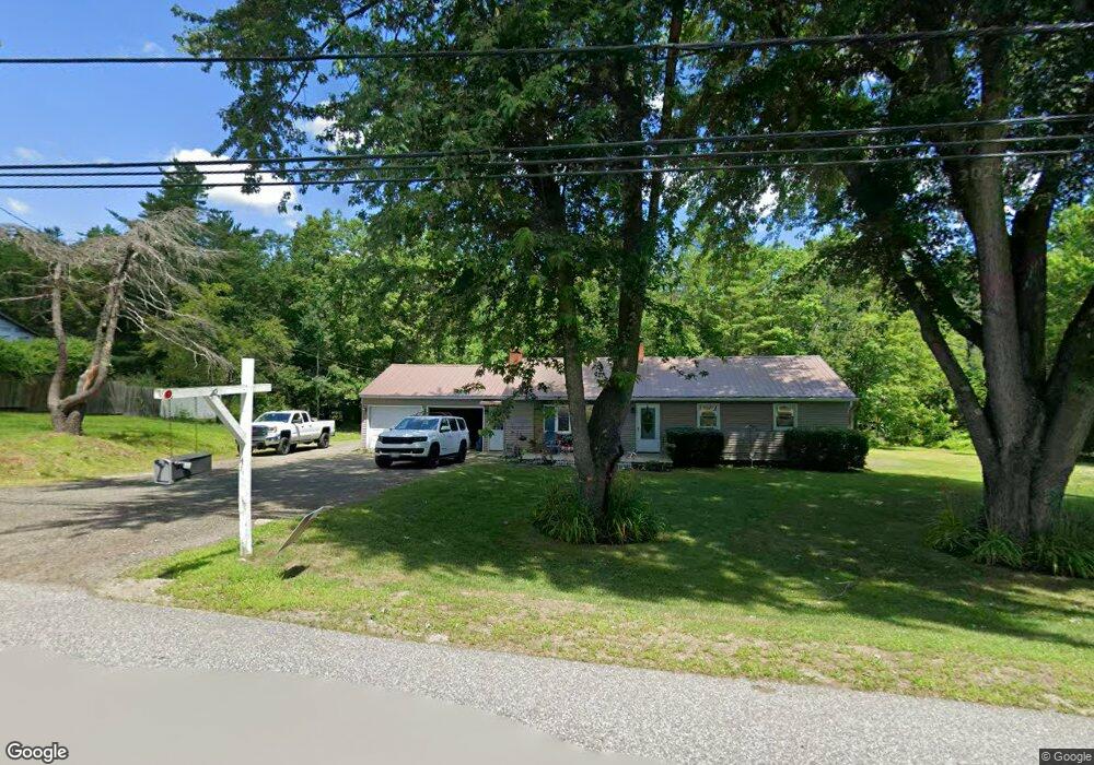
49 Patten Rd Greene, ME 04236
Estimated Value: $385,870 - $448,000
5
Beds
3
Baths
1,800
Sq Ft
$232/Sq Ft
Est. Value
About This Home
This home is located at 49 Patten Rd, Greene, ME 04236 and is currently estimated at $418,218, approximately $232 per square foot. 49 Patten Rd is a home located in Androscoggin County with nearby schools including Tripp Middle School, Leavitt Area High School, and Fellowship Christian Academy.
Ownership History
Date
Name
Owned For
Owner Type
Purchase Details
Closed on
May 31, 2006
Sold by
Eddy Todd J and Eddy Dawn M
Bought by
Cloutier Peter R and Cloutier Christina M
Current Estimated Value
Home Financials for this Owner
Home Financials are based on the most recent Mortgage that was taken out on this home.
Original Mortgage
$158,746
Outstanding Balance
$90,185
Interest Rate
6.55%
Mortgage Type
FHA
Estimated Equity
$328,033
Create a Home Valuation Report for This Property
The Home Valuation Report is an in-depth analysis detailing your home's value as well as a comparison with similar homes in the area
Home Values in the Area
Average Home Value in this Area
Purchase History
| Date | Buyer | Sale Price | Title Company |
|---|---|---|---|
| Cloutier Peter R | -- | -- |
Source: Public Records
Mortgage History
| Date | Status | Borrower | Loan Amount |
|---|---|---|---|
| Open | Cloutier Peter R | $158,746 |
Source: Public Records
Tax History
| Year | Tax Paid | Tax Assessment Tax Assessment Total Assessment is a certain percentage of the fair market value that is determined by local assessors to be the total taxable value of land and additions on the property. | Land | Improvement |
|---|---|---|---|---|
| 2025 | $3,638 | $304,400 | $66,100 | $238,300 |
| 2024 | $3,906 | $200,300 | $43,500 | $156,800 |
| 2023 | $3,906 | $200,300 | $43,500 | $156,800 |
| 2022 | $3,565 | $200,300 | $43,500 | $156,800 |
| 2021 | $3,425 | $200,300 | $43,500 | $156,800 |
| 2020 | $3,425 | $200,300 | $43,500 | $156,800 |
| 2019 | $3,245 | $200,300 | $43,500 | $156,800 |
| 2018 | $3,153 | $200,300 | $43,500 | $156,800 |
| 2017 | $3,089 | $200,300 | $43,500 | $156,800 |
| 2016 | $2,912 | $200,300 | $43,500 | $156,800 |
| 2015 | $2,856 | $200,300 | $43,500 | $156,800 |
| 2014 | $2,708 | $200,300 | $43,500 | $156,800 |
| 2013 | $2,664 | $200,300 | $43,500 | $156,800 |
Source: Public Records
Map
Nearby Homes
- 951 U S Highway 202
- 0 Sedgley Rd
- 0 U S Highway 202
- 14 Penney Ln Unit 1636097
- 29 Jennifer Ave
- 25 Jennifer Ave
- 27 Jennifer Ave
- 65 Bull Run Rd
- 12 Key Hill Rd
- Lot 6 Berry Rd
- 130 S Hatch Hill Rd
- 66 S South Hatch Hill Rd
- 20 Copper Ridge Rd
- 26 Island View Dr
- 33 Webster Rd
- 135 Sleeper Rd
- 1639 Main St
- 51 Sleeper Rd
- 5 Lake Shore Dr
- 88 Barnard Cove Rd
- 44 Patten Rd
- 57 Patten Rd
- 58 Patten Rd
- 665 Route 202
- 678 Route 202
- 67 Island View Dr Unit Lot 13
- 64 Island View Dr Unit Lot 1
- Map3lot 28 Old Greene Rd
- 7 Hayfield Dr
- 105 Martins Point
- 64 Island View Dr
- 67 Island View Dr
- 58 Island View Dr
- 701A U S Highway 202
- 721 U S Highway 202
- 74 Patten Rd
- 26 Patten Rd
- 690 Route 202
- 61 Patten Rd
- 677 Route 202
Your Personal Tour Guide
Ask me questions while you tour the home.