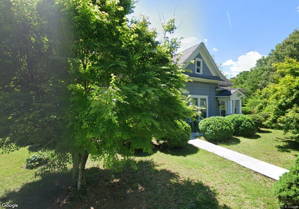
490 Gilmer Ferry Rd Ball Ground, GA 30107
Estimated Value: $398,280 - $1,120,000
3
Beds
1
Bath
2,502
Sq Ft
$241/Sq Ft
Est. Value
About This Home
This home is located at 490 Gilmer Ferry Rd, Ball Ground, GA 30107 and is currently estimated at $603,320, approximately $241 per square foot. 490 Gilmer Ferry Rd is a home located in Cherokee County with nearby schools including Ball Ground Elementary School, Creekland Middle School, and Creekview High School.
Ownership History
Date
Name
Owned For
Owner Type
Purchase Details
Closed on
Mar 31, 2023
Sold by
Byers David
Bought by
Hunter Trail Llc
Current Estimated Value
Create a Home Valuation Report for This Property
The Home Valuation Report is an in-depth analysis detailing your home's value as well as a comparison with similar homes in the area
Home Values in the Area
Average Home Value in this Area
Purchase History
| Date | Buyer | Sale Price | Title Company |
|---|---|---|---|
| Hunter Trail Llc | -- | -- |
Source: Public Records
Tax History
| Year | Tax Paid | Tax Assessment Tax Assessment Total Assessment is a certain percentage of the fair market value that is determined by local assessors to be the total taxable value of land and additions on the property. | Land | Improvement |
|---|---|---|---|---|
| 2025 | $800 | $92,720 | $30,000 | $62,720 |
| 2024 | $805 | $90,680 | $30,000 | $60,680 |
| 2023 | $575 | $80,720 | $30,000 | $50,720 |
| 2022 | $692 | $71,720 | $30,000 | $41,720 |
| 2021 | $691 | $61,480 | $30,000 | $31,480 |
| 2020 | $639 | $52,760 | $21,600 | $31,160 |
| 2019 | $596 | $49,520 | $21,600 | $27,920 |
| 2018 | $567 | $43,800 | $19,480 | $24,320 |
| 2017 | $520 | $97,100 | $18,000 | $20,840 |
| 2016 | $422 | $77,300 | $12,000 | $18,920 |
| 2015 | $411 | $73,000 | $12,000 | $17,200 |
| 2014 | $404 | $70,800 | $12,000 | $16,320 |
Source: Public Records
Map
Nearby Homes
- 549 Groover St
- 557 Groover St
- 565 Groover St
- 569 Groover St
- 533 Groover St
- 553 Groover St
- 226 Northridge Rd
- 326 Reese Way
- 680 Groover St
- 286 Lowry St
- 217 Cherokee Village Dr
- 239 Northridge Rd
- 318 Cottage Ct
- 253 Northridge Rd
- 275 Strippling St
- 502 Old Canton Rd
- 738 Groover St
- 150 Nix St
- 212 Cardiff Ct
- 0 Flatbottom Rd Unit 10667325
- 120 Roberts Lake Rd
- 120 Roberts Lake Rd
- 130 Roberts Lake Rd
- 475 Main St
- 470 Gilmer Ferry Rd
- 475 Gilmer Ferry Rd
- 485 Gilmer Ferry Rd
- 510 Gilmer Ferry Rd
- 125 Roberts Lake Rd
- 110 Gazaway Ln
- 520 Gilmer Ferry Rd
- 450 Gilmer Ferry Rd
- 535 Gilmer Ferry Rd
- 130 Northridge Rd
- 530 Gilmer Ferry Rd
- 440 Gilmer Ferry Rd
- 0 Roberts Lake Rd
- 0 Roberts Lake Rd Unit 9055644
- 0 Roberts Lake Rd Unit 9055627
- 100 Holcomb Manor Dr
Your Personal Tour Guide
Ask me questions while you tour the home.