490 King Rd Salisbury, NC 28146
Estimated Value: $477,000 - $810,000
About This Home
This home is located at 490 King Rd, Salisbury, NC 28146 and is currently estimated at $609,290, approximately $236 per square foot. 490 King Rd is a home located in Rowan County with nearby schools including Rockwell Elementary School, Charles C Erwin Middle School, and East Rowan High School.
Ownership History
We collect this data history from publicly available records. To have your information removed, we recommend requesting removal directly through your county’s website.
Purchase Details
Purchase Details
Home Financials for this Owner
Home Financials are based on the most recent Mortgage that was taken out on this home.Purchase History
We collect this data history from publicly available records. To have your information removed, we recommend requesting removal directly through your county’s website.
| Date | Buyer | Sale Price | Title Company |
|---|---|---|---|
| $1,000 | None Available | ||
| -- | None Available |
Mortgage History
We collect this data history from publicly available records. To have your information removed, we recommend requesting removal directly through your county’s website.
| Date | Status | Borrower | Loan Amount |
|---|---|---|---|
| Previous Owner | $266,402 |
Tax History
We collect this data history from publicly available records. To have your information removed, we recommend requesting removal directly through your county’s website.
| Year | Tax Paid | Tax Assessment Tax Assessment Total Assessment is a certain percentage of the fair market value that is determined by local assessors to be the total taxable value of land and additions on the property. | Land | Improvement |
|---|---|---|---|---|
| 2025 | $3,091 | $468,393 | $43,120 | $425,273 |
| 2024 | $3,091 | $468,393 | $43,120 | $425,273 |
| 2023 | $3,091 | $468,393 | $43,120 | $425,273 |
| 2022 | $2,397 | $324,996 | $34,000 | $290,996 |
| 2021 | $2,311 | $324,996 | $34,000 | $290,996 |
| 2020 | $2,311 | $324,996 | $34,000 | $290,996 |
| 2019 | $2,311 | $324,996 | $34,000 | $290,996 |
| 2018 | $2,085 | $383,338 | $121,826 | $261,512 |
| 2017 | $2,085 | $383,338 | $121,826 | $261,512 |
| 2016 | $2,085 | $383,338 | $121,826 | $261,512 |
| 2015 | $2,164 | $383,338 | $121,826 | $261,512 |
| 2014 | $2,065 | $375,579 | $121,826 | $253,753 |
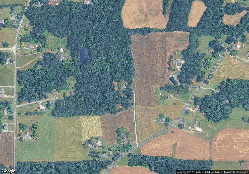
Map
- 8710 Stokes Ferry Rd
- 1178 Pierce Dr
- 1070 Lucky Ln
- 480 Adrian Rd
- 1040 Barger Rd
- 1155 Cedar Pond Ln
- 1311 Oak Grove Ln
- 435 Mahaffey Dr
- 1266 Oak Grove Ln
- 1044 Oak Grove Ln Unit Lot 2
- 1085 Misenheimer Rd
- 348 Palmer Cir
- 509 E Main St
- 104 Sunset Dr
- 260 Joy Cir
- 1090 Sides St
- 660 Sides Rd
- 0 Catfish Terrace
- 245 Castle Keep Rd
- 513 Sides St
- 670 King Rd
- 550 King Rd
- 470 King Rd
- 720 King Rd
- 450 King Rd
- 645 King Rd
- 280 Jakes Dr
- 750 King Rd
- 665 King Rd
- 185 Jakes Dr
- 355 Scrub Pine Dr
- 675 King Rd
- 3325 Saint Peters Church Rd
- 850 King Rd
- 3085 Saint Peters Church Rd
- 3455 Saint Peters Church Rd
- 370 King Rd
- 855 King Rd
- 365 King Rd
- 3220 Saint Peters Church Rd
Ask me questions while you tour the home.