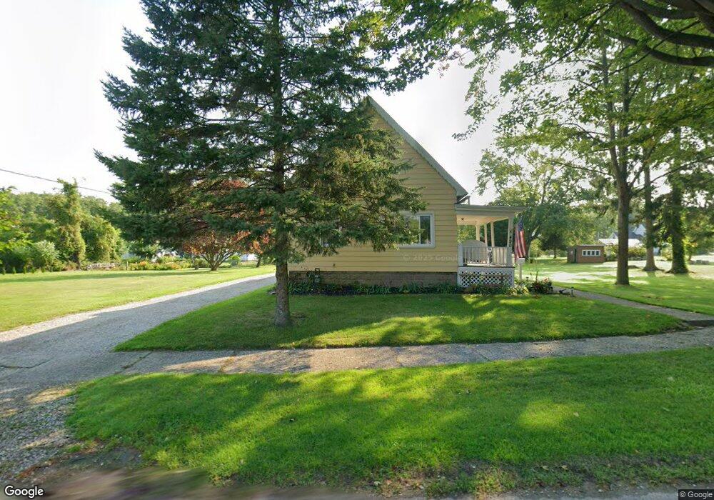
490 Sherman St Conneaut, OH 44030
Estimated Value: $54,000 - $119,000
Studio
--
Bath
--
Sq Ft
6,970
Sq Ft Lot
About This Home
This home is located at 490 Sherman St, Conneaut, OH 44030 and is currently estimated at $79,667. 490 Sherman St is a home located in Ashtabula County with nearby schools including Lakeshore Primary Elementary School, Gateway Elementary School, and Conneaut Middle School.
Ownership History
Date
Name
Owned For
Owner Type
Purchase Details
Closed on
Sep 20, 2024
Sold by
Crossman Pamela S and Crossman David M
Bought by
Crossman Michael
Current Estimated Value
Purchase Details
Closed on
Mar 9, 2022
Sold by
Young Renee D
Bought by
Crossman Brad
Purchase Details
Closed on
Jun 8, 2015
Sold by
Secretary Of Hud
Bought by
Montagano John J
Purchase Details
Closed on
Jul 24, 2014
Sold by
Eaton Robert D
Bought by
Everbank
Purchase Details
Closed on
Feb 27, 2004
Sold by
Stitt Janice S and Stitt Richard W
Bought by
Eaton Robert D and Eaton Christina L
Home Financials for this Owner
Home Financials are based on the most recent Mortgage that was taken out on this home.
Original Mortgage
$79,269
Interest Rate
5.74%
Mortgage Type
FHA
Create a Home Valuation Report for This Property
The Home Valuation Report is an in-depth analysis detailing your home's value as well as a comparison with similar homes in the area
Home Values in the Area
Average Home Value in this Area
Purchase History
| Date | Buyer | Sale Price | Title Company |
|---|---|---|---|
| Crossman Michael | -- | None Listed On Document | |
| Crossman Brad | $55,000 | Venture Title | |
| Crossman Brad | $55,000 | Venture Title | |
| Montagano John J | $17,500 | Chicago Title Agency | |
| Everbank | $14,000 | None Available | |
| Eaton Robert D | $80,000 | North Point Title Co Inc |
Source: Public Records
Mortgage History
| Date | Status | Borrower | Loan Amount |
|---|---|---|---|
| Previous Owner | Eaton Robert D | $79,269 |
Source: Public Records
Tax History
| Year | Tax Paid | Tax Assessment Tax Assessment Total Assessment is a certain percentage of the fair market value that is determined by local assessors to be the total taxable value of land and additions on the property. | Land | Improvement |
|---|---|---|---|---|
| 2024 | $167 | $2,280 | $2,280 | -- |
| 2023 | $107 | $2,280 | $2,280 | $0 |
| 2022 | $93 | $1,750 | $1,750 | $0 |
| 2021 | $95 | $1,750 | $1,750 | $0 |
| 2020 | $95 | $1,750 | $1,750 | $0 |
| 2019 | $114 | $2,070 | $2,070 | $0 |
| 2018 | $109 | $2,070 | $2,070 | $0 |
| 2017 | $99 | $2,070 | $2,070 | $0 |
| 2016 | $88 | $1,820 | $1,820 | $0 |
| 2015 | $89 | $1,820 | $1,820 | $0 |
| 2014 | $79 | $1,820 | $1,820 | $0 |
| 2013 | -- | $1,720 | $1,720 | $0 |
Source: Public Records
Map
Nearby Homes
- 600 Lakeview Ave
- 522 Shackson St
- 536 Madison St
- 681 Madison St
- 736 Lake Erie St
- 238 Whitney St
- 475 State St
- 276 Orange St
- 375 Bliss Ave
- 716 Chestnut St
- 805 Main St Unit 807
- 450 Buffalo St
- 297 Depot St
- 716 Grove St
- 386 Washington St
- 831 Mill St
- 839 Mill St
- 146 Nickle Plate Ave
- 18 Hillcrest Ct
- 1145 Lake Rd
- 490 Sherman St
- 490 Sherman St
- 490 Sherman St
- 491 Lakeview Ave
- 504 Sherman St
- 485 Lakeview Ave
- 501 Lakeview Ave
- 485 Sherman St
- 491 Sherman St
- 666 Clark St
- 473 Sherman St
- 507 Sherman St
- 515 Lakeview Ave
- 518 Sherman St
- 644 Clark St
- 506 Lakeview Ave
- 704 Clark St
- 519 Lakeview Ave
- 478 Benjamin St
- 488 Benjamin St
Your Personal Tour Guide
Ask me questions while you tour the home.