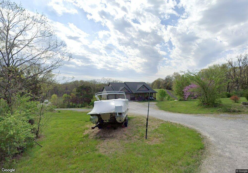
4901 N Route E Columbia, MO 65202
Estimated Value: $339,000 - $619,000
3
Beds
2
Baths
1,886
Sq Ft
$244/Sq Ft
Est. Value
About This Home
This home is located at 4901 N Route E, Columbia, MO 65202 and is currently estimated at $460,890, approximately $244 per square foot. 4901 N Route E is a home located in Boone County with nearby schools including West Boulevard Elementary School, Smithton Middle School, and David H. Hickman High School.
Ownership History
Date
Name
Owned For
Owner Type
Purchase Details
Closed on
Apr 3, 2009
Sold by
Turner Franklin G and Graves Lori C
Bought by
Putnam William D and Putnam Debra L
Current Estimated Value
Purchase Details
Closed on
Aug 22, 2006
Sold by
Hansman John G and Hansman Monica R
Bought by
Turner Franklin G
Home Financials for this Owner
Home Financials are based on the most recent Mortgage that was taken out on this home.
Original Mortgage
$58,000
Interest Rate
6.72%
Mortgage Type
Construction
Purchase Details
Closed on
Jul 10, 2006
Sold by
Lewis Phillip P and Lewis Alexandra D
Bought by
Hansman John G and Hansman Monica R
Home Financials for this Owner
Home Financials are based on the most recent Mortgage that was taken out on this home.
Original Mortgage
$58,000
Interest Rate
6.72%
Mortgage Type
Construction
Create a Home Valuation Report for This Property
The Home Valuation Report is an in-depth analysis detailing your home's value as well as a comparison with similar homes in the area
Purchase History
| Date | Buyer | Sale Price | Title Company |
|---|---|---|---|
| Putnam William D | -- | Boone Central Title Company | |
| Turner Franklin G | -- | Boone Central Title Company | |
| Hansman John G | -- | None Available |
Source: Public Records
Mortgage History
| Date | Status | Borrower | Loan Amount |
|---|---|---|---|
| Previous Owner | Turner Franklin G | $58,000 | |
| Previous Owner | Hansman John G | $221,000 |
Source: Public Records
Tax History
| Year | Tax Paid | Tax Assessment Tax Assessment Total Assessment is a certain percentage of the fair market value that is determined by local assessors to be the total taxable value of land and additions on the property. | Land | Improvement |
|---|---|---|---|---|
| 2025 | $4,251 | $64,638 | $3,800 | $60,838 |
| 2024 | $4,250 | $58,767 | $3,800 | $54,967 |
| 2023 | $4,214 | $58,767 | $3,800 | $54,967 |
| 2022 | $3,898 | $54,412 | $3,800 | $50,612 |
| 2021 | $3,904 | $54,412 | $3,800 | $50,612 |
| 2020 | $4,137 | $54,412 | $3,800 | $50,612 |
| 2019 | $4,137 | $54,412 | $3,800 | $50,612 |
| 2018 | $4,163 | $0 | $0 | $0 |
| 2017 | $4,115 | $54,412 | $3,800 | $50,612 |
| 2016 | $3,782 | $50,084 | $3,800 | $46,284 |
| 2015 | $3,493 | $50,084 | $3,800 | $46,284 |
| 2014 | $3,501 | $50,084 | $3,800 | $46,284 |
Source: Public Records
Map
Nearby Homes
- 5121 North Route E
- 6045 North Route E
- 7275 North Route E
- 1800 W Sycamore
- 4245 Roemer Rd
- 2713 Poppy Way
- 2300 Sunflower St
- 5171 N Creasy Springs Rd
- 0 N Locust Grove Church Rd
- 1717 Bosco Bel Dr
- LOT 6 N Locust Grove Church Rd
- 1705 Bosco Bel Dr
- 1709 Bosco Bel Dr
- 1701 Bosco Bel Dr
- 1605 Bosco Bel Dr
- 3716 Roxie Ct
- 1604 Bosco Bel Dr
- 1600 Bosco Bel Dr
- 6.24 ACRES Barberry Ave
- 2009 Iris Dr
- 4901 North Route E
- 4931 North Route E
- 4931 N Route E
- 4761 North Route E
- 4761 N Route E
- 4855 N Route E
- 4741 N Route E
- 5001 N Route E
- 4701 N Route E
- 5030 N Route E
- 5081 N Route E
- 5081 North Route E
- 4700 N Route E
- 5051 N Route E
- 5034 N Route E
- 4915 N Route E
- 5060 N Route E
- 5101 N Route E
- 4600 N Route E
- 5121 N Route E
Your Personal Tour Guide
Ask me questions while you tour the home.