4901 Wayside Dr McHenry, IL 60051
West Island Lake NeighborhoodEstimated Value: $483,000 - $647,000
About This Home
This home is located at 4901 Wayside Dr, McHenry, IL 60051 and is currently estimated at $565,680, approximately $219 per square foot. 4901 Wayside Dr is a home located in McHenry County with nearby schools including Cotton Creek School, Matthews Middle School, and Wauconda High School.
Ownership History
We collect this data history from publicly available records. To have your information removed, we recommend requesting removal directly through your county’s website.
Purchase Details
Purchase Details
Purchase Details
Home Financials for this Owner
Home Financials are based on the most recent Mortgage that was taken out on this home.Home Values in the Area
Average Home Value in this Area
Purchase History
We collect this data history from publicly available records. To have your information removed, we recommend requesting removal directly through your county’s website.
| Date | Buyer | Sale Price | Title Company |
|---|---|---|---|
| $315,000 | None Available | ||
| -- | None Available | ||
| $365,000 | Chicago Title Land Trust Co |
Mortgage History
We collect this data history from publicly available records. To have your information removed, we recommend requesting removal directly through your county’s website.
| Date | Status | Borrower | Loan Amount |
|---|---|---|---|
| Previous Owner | $225,000 |
Tax History
We collect this data history from publicly available records. To have your information removed, we recommend requesting removal directly through your county’s website.
| Year | Tax Paid | Tax Assessment Tax Assessment Total Assessment is a certain percentage of the fair market value that is determined by local assessors to be the total taxable value of land and additions on the property. | Land | Improvement |
|---|---|---|---|---|
| 2024 | $10,622 | $154,201 | $31,738 | $122,463 |
| 2023 | $10,223 | $138,284 | $28,462 | $109,822 |
| 2022 | $11,155 | $126,460 | $26,028 | $100,432 |
| 2021 | $10,822 | $118,564 | $24,403 | $94,161 |
| 2020 | $10,256 | $115,011 | $23,672 | $91,339 |
| 2019 | $10,752 | $115,674 | $58,384 | $57,290 |
| 2018 | $10,136 | $108,655 | $54,841 | $53,814 |
| 2017 | $9,865 | $104,096 | $52,540 | $51,556 |
| 2016 | $9,951 | $102,709 | $50,129 | $52,580 |
| 2013 | -- | $97,748 | $47,708 | $50,040 |
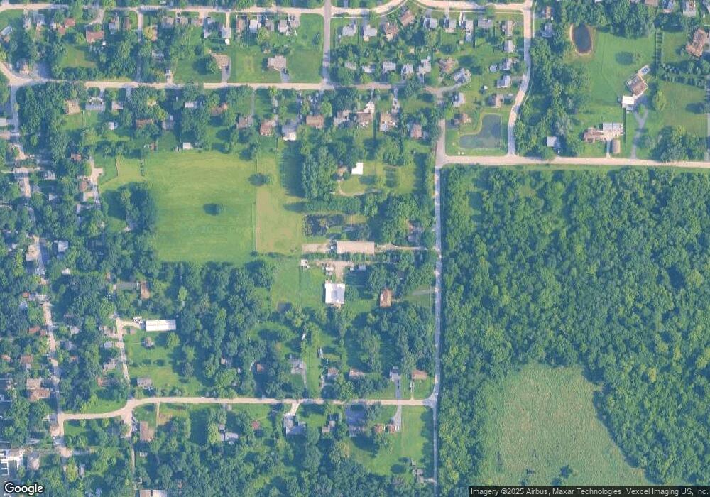
Map
- 6 Lots Porten Rd
- 4917 Wayside Dr
- 419 Windsor Ln
- 4823 S Little Dr
- 4709 Southhampton Dr
- 4909 Wildwood Dr
- 4548 Vista Dr Unit 12
- 901 Peter St
- Lot 0 S Pine St
- Lot 2 Palm St
- Lot 1 Palm St
- Lot 1 Roberts Rd
- 4403 Roberts Rd
- 1302 Autumn Ridge Ct
- 4404 Giant Oak Dr
- 326 Garrison Cir
- 1102 Noble Pkwy
- 4400 Riverside Dr
- 1229 Noble Dr
- 1225 Noble Dr
- 711 Porten Rd
- 605 Porten Rd
- 609 Porten Rd
- 613 Porten Rd
- 0 Porten Rd
- 302 Porten Rd
- 500 Porten Rd
- 617 Porten Rd
- 618 Area St
- 502 Porten Rd
- 703 Porten Rd
- 704 Area St
- 4729 Southhampton Dr Unit 12
- 708 Area St
- 707 Porten Rd
- 504 Porten Rd Unit 12
- 712 Area St
- 514 Porten Rd
- 512 Porten Rd Unit 12
- 510 Porten Rd
Ask me questions while you tour the home.