Estimated Value: $755,000 - $961,088
3
Beds
3
Baths
1,500
Sq Ft
$562/Sq Ft
Est. Value
About This Home
This home is located at 491 Abbott Rd, Acton, ME 04001 and is currently estimated at $842,522, approximately $561 per square foot. 491 Abbott Rd is a home located in York County with nearby schools including Acton Elementary School.
Ownership History
Date
Name
Owned For
Owner Type
Purchase Details
Closed on
Oct 24, 2024
Sold by
Kelly Lisa A
Bought by
Lisa A Kelly Acton T A and Lisa Kelly
Current Estimated Value
Purchase Details
Closed on
Jul 1, 2009
Sold by
Coughlin Elizabeth A and Coughlin John E
Bought by
Kelly Lisa A and Kelly Shaun E
Home Financials for this Owner
Home Financials are based on the most recent Mortgage that was taken out on this home.
Original Mortgage
$400,000
Interest Rate
4.86%
Mortgage Type
Unknown
Create a Home Valuation Report for This Property
The Home Valuation Report is an in-depth analysis detailing your home's value as well as a comparison with similar homes in the area
Home Values in the Area
Average Home Value in this Area
Purchase History
| Date | Buyer | Sale Price | Title Company |
|---|---|---|---|
| Lisa A Kelly Acton T A | -- | None Available | |
| Lisa A Kelly Acton T A | -- | None Available | |
| Lisa A Kelly Acton T A | -- | None Available | |
| Kelly Lisa A | -- | -- | |
| Kelly Lisa A | -- | -- |
Source: Public Records
Mortgage History
| Date | Status | Borrower | Loan Amount |
|---|---|---|---|
| Previous Owner | Kelly Lisa A | $400,000 |
Source: Public Records
Tax History
| Year | Tax Paid | Tax Assessment Tax Assessment Total Assessment is a certain percentage of the fair market value that is determined by local assessors to be the total taxable value of land and additions on the property. | Land | Improvement |
|---|---|---|---|---|
| 2025 | $6,465 | $896,706 | $598,000 | $298,706 |
| 2024 | $6,340 | $896,706 | $598,000 | $298,706 |
| 2023 | $5,784 | $896,706 | $598,000 | $298,706 |
| 2022 | $6,095 | $510,036 | $317,680 | $192,356 |
| 2021 | $6,095 | $510,036 | $317,680 | $192,356 |
| 2020 | $6,146 | $510,036 | $317,680 | $192,356 |
| 2019 | $6,146 | $510,036 | $317,680 | $192,356 |
| 2018 | $6,146 | $510,036 | $317,680 | $192,356 |
| 2017 | $6,069 | $510,036 | $317,680 | $192,356 |
| 2016 | $5,738 | $510,036 | $317,680 | $192,356 |
| 2015 | $5,891 | $510,036 | $317,680 | $192,356 |
| 2014 | $5,661 | $510,036 | $317,680 | $192,356 |
Source: Public Records
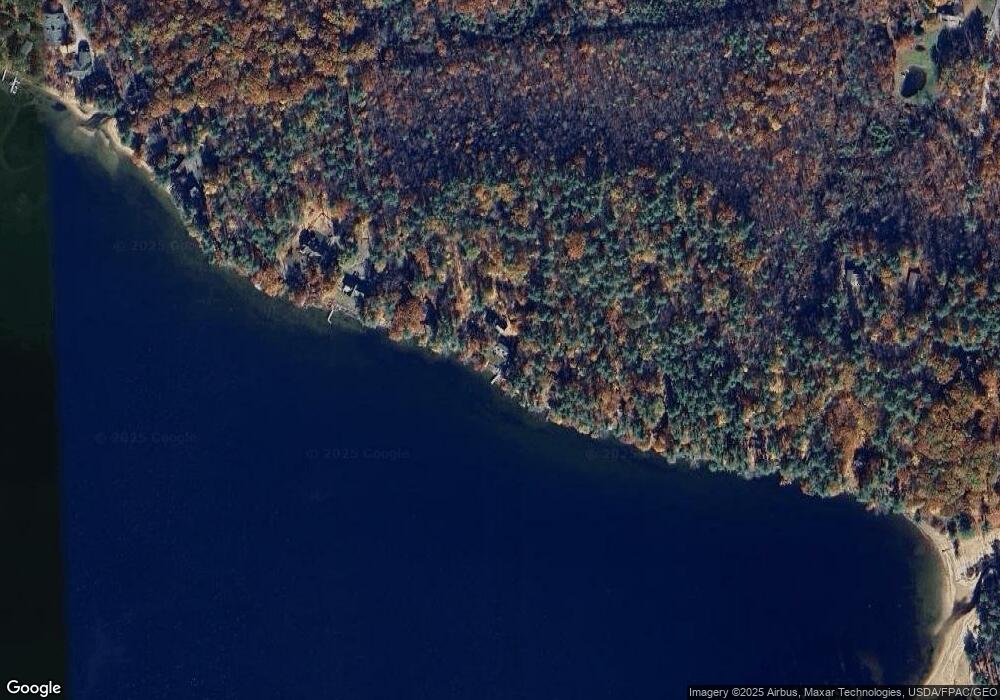
Map
Nearby Homes
- 00 Racoon Rd
- 394 Raccoon Rd
- 97 Daniel Dr
- 163 Buzzell Rd
- 29 Concord Ln
- 1656 Province Lake Rd Unit lot 2
- Lots 30 + 18 Thornhill Rd
- 271 Red Gate Ln
- Lot 7 Scribner Hill Extension
- Lot 4 Scribner Hill Extension
- M49 L16.2 Sanborn Rd Unit Lot 1
- 115 Chandler Ln
- Lot 11 Ridge Way
- Lot 13 Ridge Way
- 103 Goodwin Rd
- 51 Mill Pond Rd
- 367 Shady Nook Rd
- M43 L6 Shady Nook Rd
- 4194 White Mountain Hwy
- 0 White Mountain Hwy Unit 20
Your Personal Tour Guide
Ask me questions while you tour the home.