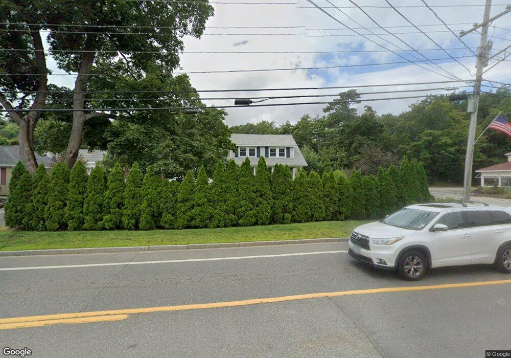
491 Main St Ogunquit, ME 03907
Ogunquit NeighborhoodEstimated Value: $888,000 - $969,000
4
Beds
2
Baths
1,611
Sq Ft
$576/Sq Ft
Est. Value
About This Home
This home is located at 491 Main St, Ogunquit, ME 03907 and is currently estimated at $927,430, approximately $575 per square foot. 491 Main St is a home located in York County with nearby schools including Wells Junior High School, Wells Elementary School, and Wells High School.
Ownership History
Date
Name
Owned For
Owner Type
Purchase Details
Closed on
Aug 16, 2025
Sold by
Ames Darin and Ames Nicole
Bought by
Our Dogs Happy Place Llc
Current Estimated Value
Purchase Details
Closed on
Sep 29, 2014
Sold by
Mann Yvonne M and Mann Paul E
Bought by
Ames Darin and Ames Nicole
Home Financials for this Owner
Home Financials are based on the most recent Mortgage that was taken out on this home.
Original Mortgage
$288,000
Interest Rate
4.12%
Mortgage Type
New Conventional
Create a Home Valuation Report for This Property
The Home Valuation Report is an in-depth analysis detailing your home's value as well as a comparison with similar homes in the area
Home Values in the Area
Average Home Value in this Area
Purchase History
| Date | Buyer | Sale Price | Title Company |
|---|---|---|---|
| Our Dogs Happy Place Llc | -- | -- | |
| Our Dogs Happy Place Llc | -- | -- | |
| Our Dogs Happy Place Llc | -- | -- | |
| Ames Darin | $360,000 | -- | |
| Ames Darin | $360,000 | -- |
Source: Public Records
Mortgage History
| Date | Status | Borrower | Loan Amount |
|---|---|---|---|
| Previous Owner | Ames Darin | $288,000 |
Source: Public Records
Tax History
| Year | Tax Paid | Tax Assessment Tax Assessment Total Assessment is a certain percentage of the fair market value that is determined by local assessors to be the total taxable value of land and additions on the property. | Land | Improvement |
|---|---|---|---|---|
| 2024 | $3,884 | $601,300 | $340,400 | $260,900 |
| 2023 | $3,884 | $601,300 | $340,400 | $260,900 |
| 2022 | $3,800 | $601,300 | $340,400 | $260,900 |
| 2021 | $3,234 | $397,300 | $243,100 | $154,200 |
| 2020 | $3,178 | $397,300 | $243,100 | $154,200 |
| 2019 | $3,178 | $397,300 | $243,100 | $154,200 |
| 2018 | $3,166 | $400,300 | $243,100 | $157,200 |
| 2017 | $3,034 | $400,300 | $243,100 | $157,200 |
| 2016 | $3,285 | $406,000 | $243,100 | $162,900 |
| 2015 | $3,276 | $406,000 | $243,100 | $162,900 |
| 2014 | $3,151 | $406,000 | $243,100 | $162,900 |
Source: Public Records
Map
Nearby Homes
- 488 Main St Unit 7
- 444 Main St Unit 112
- 14 Valleybrook Rd Unit 14
- 25 Shore Rd Unit A
- 20 Shore Rd Unit 2A,B,C,D
- 718 Main St Unit A3
- 50 Shore Rd Unit 2
- 50 Shore Rd Unit 1
- 22 Adams Ln
- 31 Rebecca Rd
- 200 Shore Rd
- 55 Israel Head Rd Unit 203
- 14 Maple St
- 76 Post Rd Unit 17M
- 76 Post Rd Unit 18M
- 76 Post Rd Unit 8M
- 76 Post Rd Unit 17&18M
- 9 Bourne Ave Unit B6
- 191 Tatnic Rd Unit 73
- 47 Village Green Dr
- 35 Kings Ln
- 33-35 Kings Hwy
- 483 Main St
- 8 Dixons Run Rd
- 6 Dixon's Run Rd
- 5 Dixon's Run Rd
- 12 Dixons Run Rd
- 37 Kings Ln
- 27 Kings Ln
- 15 Dixon's Run Rd
- 27 King's
- 475 Main St
- 27 Kings Ln
- 16 Dixon's Run Rd
- 16 Dixon's Run Rd
- 16 Dixons Run Rd
- 488 Main St Unit 9
- 488 Main St Unit 8
- 488 Main St Unit 6
- 488 Main St Unit 5
Your Personal Tour Guide
Ask me questions while you tour the home.