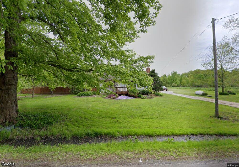
4911 E Maple Rd Geneva, OH 44041
Geneva NeighborhoodEstimated Value: $145,000 - $262,060
2
Beds
1
Bath
945
Sq Ft
$224/Sq Ft
Est. Value
About This Home
This home is located at 4911 E Maple Rd, Geneva, OH 44041 and is currently estimated at $211,765, approximately $224 per square foot. 4911 E Maple Rd is a home located in Ashtabula County with nearby schools including Geneva Middle School, Geneva High School, and Assumption School.
Ownership History
Date
Name
Owned For
Owner Type
Purchase Details
Closed on
Oct 20, 2012
Sold by
Mazura Helena and Mazura Zvonko
Bought by
Kusner Andrew T
Current Estimated Value
Purchase Details
Closed on
Jul 22, 2010
Sold by
Gibson James D and Gibson Karen L
Bought by
Gibson James D and Gibson Karen L
Home Financials for this Owner
Home Financials are based on the most recent Mortgage that was taken out on this home.
Original Mortgage
$89,500
Interest Rate
4.74%
Mortgage Type
New Conventional
Create a Home Valuation Report for This Property
The Home Valuation Report is an in-depth analysis detailing your home's value as well as a comparison with similar homes in the area
Home Values in the Area
Average Home Value in this Area
Purchase History
| Date | Buyer | Sale Price | Title Company |
|---|---|---|---|
| Kusner Andrew T | -- | Chicago Title | |
| Gibson James D | -- | Attorney |
Source: Public Records
Mortgage History
| Date | Status | Borrower | Loan Amount |
|---|---|---|---|
| Previous Owner | Gibson James D | $89,500 |
Source: Public Records
Tax History
| Year | Tax Paid | Tax Assessment Tax Assessment Total Assessment is a certain percentage of the fair market value that is determined by local assessors to be the total taxable value of land and additions on the property. | Land | Improvement |
|---|---|---|---|---|
| 2024 | $6,070 | $73,120 | $37,100 | $36,020 |
| 2023 | $3,349 | $73,120 | $37,100 | $36,020 |
| 2022 | $2,759 | $55,240 | $28,530 | $26,710 |
| 2021 | $2,758 | $55,240 | $28,530 | $26,710 |
| 2020 | $2,758 | $55,240 | $28,530 | $26,710 |
| 2019 | $2,271 | $44,170 | $21,910 | $22,260 |
| 2018 | $2,148 | $44,170 | $21,910 | $22,260 |
| 2017 | $2,111 | $44,170 | $21,910 | $22,260 |
| 2016 | $2,094 | $42,990 | $20,900 | $22,090 |
| 2015 | $2,085 | $42,990 | $20,900 | $22,090 |
| 2014 | $2,021 | $42,990 | $20,900 | $22,090 |
| 2013 | $1,962 | $43,340 | $17,960 | $25,380 |
Source: Public Records
Map
Nearby Homes
- 3651 Austin Rd Unit N12
- 3583 Austin Rd
- 3583 Austin Rd Unit 89
- 3583 Austin Rd Unit 5
- 3583 Austin Rd Unit 102
- 3449 Addison Rd
- VL N Crowell Ave
- 0 Martha Ave
- 3123 Spencer Dr
- 549 E Main St
- 215 Woodlawn Ave
- 234 Elm St
- 535 Eastwood St
- 5162 Woodside Dr
- 350 Morrison St
- 2791 Sylvan Rd
- 675 Bridle Ct
- V/L Centennial St
- 206 S Eagle St
- 171 Leslie St
- 0 E Maple Ave
- VL E Maple Ave
- 4971 E Maple Rd
- 4857 E Maple Rd
- 4962 E Maple Rd
- 4839 E Maple Rd
- 5000 E Maple Ave
- 5000 E Maple Rd
- 4811 E Maple Rd
- 4802 E Maple Rd
- 3818 Austin Rd
- 0 E Maple- Vacant Land Rd
- 4771 E Maple Rd
- 3854 Austin Rd
- 3801 Austin Rd
- 3779 Austin Rd
- 3765 Austin Rd
- 3874 Austin Rd
- 3825 Austin Rd
- 3735 Austin Rd
Your Personal Tour Guide
Ask me questions while you tour the home.