Estimated Value: $181,068 - $205,000
3
Beds
2
Baths
1,344
Sq Ft
$141/Sq Ft
Est. Value
About This Home
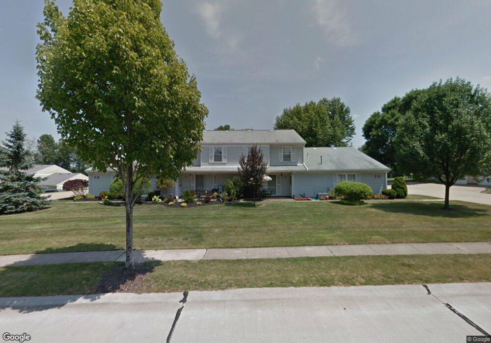
This home is located at 4917 Independence Cir Unit A, Stow, OH 44224 and is currently estimated at $189,517, approximately $141 per square foot. 4917 Independence Cir Unit A is a home located in Summit County with nearby schools including Stow-Munroe Falls High School, Primrose School of Hudson, and Holy Family Elementary School.
Ownership History
Date
Name
Owned For
Owner Type
Purchase Details
Closed on
Jan 29, 2011
Sold by
Mccafferty Michael R and Obery Ann E
Bought by
Schweikert Robert A and Schweikert Audrea C
Current Estimated Value
Home Financials for this Owner
Home Financials are based on the most recent Mortgage that was taken out on this home.
Original Mortgage
$68,250
Interest Rate
7%
Mortgage Type
New Conventional
Create a Home Valuation Report for This Property
The Home Valuation Report is an in-depth analysis detailing your home's value as well as a comparison with similar homes in the area
Home Values in the Area
Average Home Value in this Area
Purchase History
| Date | Buyer | Sale Price | Title Company |
|---|---|---|---|
| Schweikert Robert A | $91,000 | Franklin Mills Title Agency |
Source: Public Records
Mortgage History
| Date | Status | Borrower | Loan Amount |
|---|---|---|---|
| Closed | Schweikert Robert A | $68,250 |
Source: Public Records
Tax History
| Year | Tax Paid | Tax Assessment Tax Assessment Total Assessment is a certain percentage of the fair market value that is determined by local assessors to be the total taxable value of land and additions on the property. | Land | Improvement |
|---|---|---|---|---|
| 2024 | $2,923 | $50,166 | $5,075 | $45,091 |
| 2023 | $2,923 | $50,166 | $5,075 | $45,091 |
| 2021 | $2,179 | $36,621 | $3,707 | $32,914 |
| 2020 | $2,143 | $36,620 | $3,710 | $32,910 |
| 2019 | $1,706 | $27,060 | $3,670 | $23,390 |
| 2018 | $1,680 | $27,060 | $3,610 | $23,450 |
| 2017 | $1,536 | $27,060 | $3,610 | $23,450 |
| 2016 | $1,578 | $23,950 | $3,610 | $20,340 |
| 2015 | $1,536 | $23,950 | $3,610 | $20,340 |
| 2014 | $1,537 | $23,950 | $3,610 | $20,340 |
| 2013 | $1,871 | $29,560 | $3,610 | $25,950 |
Source: Public Records
Map
Nearby Homes
- 2591 Jefferson Place Unit B
- 4534 Foresthill Rd
- 4795 Fishcreek Rd
- 4728 Fishcreek Rd
- 4592 Muirwood Place
- 4706-4710 Maple Spur Dr
- 4556 Fishcreek Rd
- 4544 Fishcreek Rd
- 2344 Echo Valley Dr
- 2221 Crockett Cir
- 2397 Norman Dr
- 4205 Osage St
- 5361 Diana Lynn Dr
- 5163 Beckett Ridge
- 2958 Saybrooke Blvd
- 4138 Genevieve Blvd
- 0 Pardee Rd
- 5518 Pond Ct
- 5050 Lake Point Ct
- 4040 Burton Dr
- 4917 Independence Cir
- 4917 Independence Cir
- 4917 Independence Cir
- 4917 Independence Cir Unit D
- 4915 Independence Cir
- 4915 Independence Cir Unit 17B
- 4915 Independence Cir
- 4915 Independence Cir Unit 17A
- 4915 Independence Cir Unit D
- 4915 Independence Cir Unit B
- 4915 Independence Cir Unit C
- 2591 Jefferson Place
- 2591 Jefferson Place Unit 15C
- 2591 Jefferson Place
- 2591 Jefferson Place
- 2591 Jefferson Place Unit C
- 2591 Jefferson Place Unit D
- 4918 Independence Cir
- 4918 Independence Cir Unit 31B
- 4918 Independence Cir Unit 31A
Your Personal Tour Guide
Ask me questions while you tour the home.