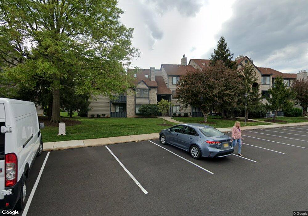
4919B Dunbarton Rd Mount Laurel, NJ 08054
Estimated Value: $270,000 - $284,427
2
Beds
2
Baths
1,032
Sq Ft
$267/Sq Ft
Est. Value
About This Home
This home is located at 4919B Dunbarton Rd, Mount Laurel, NJ 08054 and is currently estimated at $275,857, approximately $267 per square foot. 4919B Dunbarton Rd is a home located in Burlington County with nearby schools including Fleetwood Elementary School, Mount Laurel Hartford School, and T.E. Harrington Middle School.
Ownership History
Date
Name
Owned For
Owner Type
Purchase Details
Closed on
Mar 27, 2009
Sold by
Yowell Michael E and Yowell Alison B
Bought by
Wong Sau Yi
Current Estimated Value
Home Financials for this Owner
Home Financials are based on the most recent Mortgage that was taken out on this home.
Original Mortgage
$162,011
Outstanding Balance
$102,307
Interest Rate
4.92%
Mortgage Type
FHA
Estimated Equity
$173,550
Purchase Details
Closed on
Mar 31, 2003
Sold by
Romero David E and Romero Amy M
Bought by
Yowell Michael
Home Financials for this Owner
Home Financials are based on the most recent Mortgage that was taken out on this home.
Original Mortgage
$11,400
Interest Rate
5.88%
Mortgage Type
Credit Line Revolving
Create a Home Valuation Report for This Property
The Home Valuation Report is an in-depth analysis detailing your home's value as well as a comparison with similar homes in the area
Home Values in the Area
Average Home Value in this Area
Purchase History
| Date | Buyer | Sale Price | Title Company |
|---|---|---|---|
| Wong Sau Yi | $165,000 | Southern United Title Agency | |
| Yowell Michael | $114,000 | Surety Title Corporation |
Source: Public Records
Mortgage History
| Date | Status | Borrower | Loan Amount |
|---|---|---|---|
| Open | Wong Sau Yi | $162,011 | |
| Previous Owner | Yowell Michael | $11,400 | |
| Previous Owner | Yowell Michael | $91,200 |
Source: Public Records
Tax History
| Year | Tax Paid | Tax Assessment Tax Assessment Total Assessment is a certain percentage of the fair market value that is determined by local assessors to be the total taxable value of land and additions on the property. | Land | Improvement |
|---|---|---|---|---|
| 2025 | $3,981 | $126,100 | $30,000 | $96,100 |
| 2024 | $3,831 | $126,100 | $30,000 | $96,100 |
| 2023 | $3,831 | $126,100 | $30,000 | $96,100 |
| 2022 | $3,818 | $126,100 | $30,000 | $96,100 |
| 2021 | $3,746 | $126,100 | $30,000 | $96,100 |
| 2020 | $3,673 | $126,100 | $30,000 | $96,100 |
| 2019 | $3,635 | $126,100 | $30,000 | $96,100 |
| 2018 | $3,608 | $126,100 | $30,000 | $96,100 |
| 2017 | $3,514 | $126,100 | $30,000 | $96,100 |
| 2016 | $3,461 | $126,100 | $30,000 | $96,100 |
| 2015 | $3,421 | $126,100 | $30,000 | $96,100 |
| 2014 | $3,387 | $126,100 | $30,000 | $96,100 |
Source: Public Records
Map
Nearby Homes
- 4808A Aberdeen Dr
- 5520B Aberdeen Dr
- 4708A Dunbarton Rd Unit A
- 4610B Aberdeen Dr Unit 4610
- 2905 Auburn Ct
- 2506A Sussex Ct
- 3303A Chadbury Rd
- 6506B Normandy Dr Unit 6506
- 303A Sedgefield Dr Unit 303A
- 308B Sedgefield Dr
- 7401A Normandy Dr Unit 7401
- 7702B Normandy Dr
- 220 Hartford Rd
- 144 Willow Turn
- 562A Willow Turn Unit 5621
- 20 Sister's Farmstead Rd
- 22 Cardinal Way
- 69 Sister's Farmstead Rd
- 3802B Adelaide Dr
- 38 Sisters Farmstead Dr
- 4919 Dunbarton Rd
- 4917A Dunbarton Rd Unit 4917A
- 4917 Dunbarton Rd
- 4918A Dunbarton Rd
- 4920B Dunbarton Rd Unit 4920
- 4906 Dunbarton Rd
- 4920 Dunbarton Rd
- 4918 Dunbarton Rd
- 4908A Dunbarton Rd Unit 4908
- 4910B Dunbarton Rd
- 4912B Dunbarton Rd
- 4910 Dunbarton Rd
- 4914C Dunbarton Rd
- 4916 Dunbarton Road C
- 4916C Dunbarton Rd Unit 4916
- 5013 C Dunbarton Rd
- 4905A Dunbarton Rd Unit 4905
- 4905 Dunbarton Rd
- 4907A Dunbarton Rd Unit 4907
- 4911 Dunbarton Rd
Your Personal Tour Guide
Ask me questions while you tour the home.