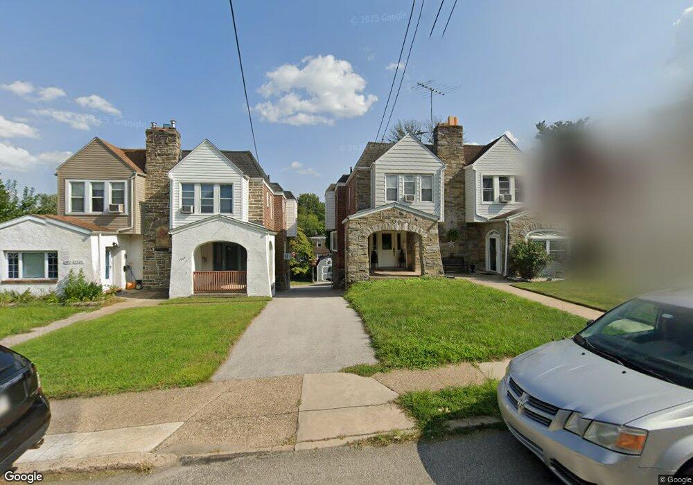
4924 State Rd Drexel Hill, PA 19026
Estimated Value: $289,000 - $332,000
4
Beds
2
Baths
1,662
Sq Ft
$185/Sq Ft
Est. Value
About This Home
This home is located at 4924 State Rd, Drexel Hill, PA 19026 and is currently estimated at $307,335, approximately $184 per square foot. 4924 State Rd is a home located in Delaware County with nearby schools including Aronimink El School, Upper Darby Kdg Center, and Drexel Hill Middle School.
Ownership History
Date
Name
Owned For
Owner Type
Purchase Details
Closed on
Mar 30, 2005
Sold by
Cunningham Anthony J
Bought by
James Thomas and James Nuala
Current Estimated Value
Home Financials for this Owner
Home Financials are based on the most recent Mortgage that was taken out on this home.
Original Mortgage
$124,019
Outstanding Balance
$63,291
Interest Rate
5.61%
Mortgage Type
FHA
Estimated Equity
$244,044
Create a Home Valuation Report for This Property
The Home Valuation Report is an in-depth analysis detailing your home's value as well as a comparison with similar homes in the area
Home Values in the Area
Average Home Value in this Area
Purchase History
| Date | Buyer | Sale Price | Title Company |
|---|---|---|---|
| James Thomas | $125,000 | -- |
Source: Public Records
Mortgage History
| Date | Status | Borrower | Loan Amount |
|---|---|---|---|
| Open | James Thomas | $124,019 |
Source: Public Records
Tax History
| Year | Tax Paid | Tax Assessment Tax Assessment Total Assessment is a certain percentage of the fair market value that is determined by local assessors to be the total taxable value of land and additions on the property. | Land | Improvement |
|---|---|---|---|---|
| 2025 | $7,036 | $166,360 | $38,130 | $128,230 |
| 2024 | $7,036 | $166,360 | $38,130 | $128,230 |
| 2023 | $6,969 | $166,360 | $38,130 | $128,230 |
| 2022 | $6,782 | $166,360 | $38,130 | $128,230 |
| 2021 | $9,145 | $166,360 | $38,130 | $128,230 |
| 2020 | $7,289 | $112,680 | $29,510 | $83,170 |
| 2019 | $7,161 | $112,680 | $29,510 | $83,170 |
| 2018 | $7,078 | $112,680 | $0 | $0 |
| 2017 | $6,894 | $112,680 | $0 | $0 |
| 2016 | $618 | $112,680 | $0 | $0 |
| 2015 | $618 | $112,680 | $0 | $0 |
| 2014 | $618 | $112,680 | $0 | $0 |
Source: Public Records
Map
Nearby Homes
- 712 Clarendon Rd
- 4913 Woodland Ave
- 4900 Cedar Ln
- 831 Stanbridge Rd
- 800 Collenbrook Ave
- 905 Addingham Ave
- 5040 Smithfield Rd
- 908 Roberts Ave
- 5239 Arrowhead Ln
- 8 Pilgrim Ln
- 719 Blythe Ave
- 920 Blythe Ave
- 637 N Bishop Ave
- 4412 Bloomfield Ave
- 830 Drexel Ave
- 522 Anderson Ave
- 1117 Belfield Ave
- 516 Anderson Ave
- 4400 School Ln
- 658 W Rolling Rd
- 4926 State Rd
- 4922 State Rd
- 4928 State Rd
- 4920 State Rd
- 4932 State Rd
- 4934 State Rd
- 716 Clarendon Rd
- 4915 Woodland Ave
- 718 Clarendon Rd
- 4917 Woodland Ave
- 714 Clarendon Rd
- 4900 State Rd
- 4919 Woodland Ave
- 4911 Woodland Ave
- 4936 State Rd
- 4921 Woodland Ave
- 4909 Woodland Ave
- 801 Terwood Rd
- 4923 Woodland Ave
- 710 Clarendon Rd
Your Personal Tour Guide
Ask me questions while you tour the home.