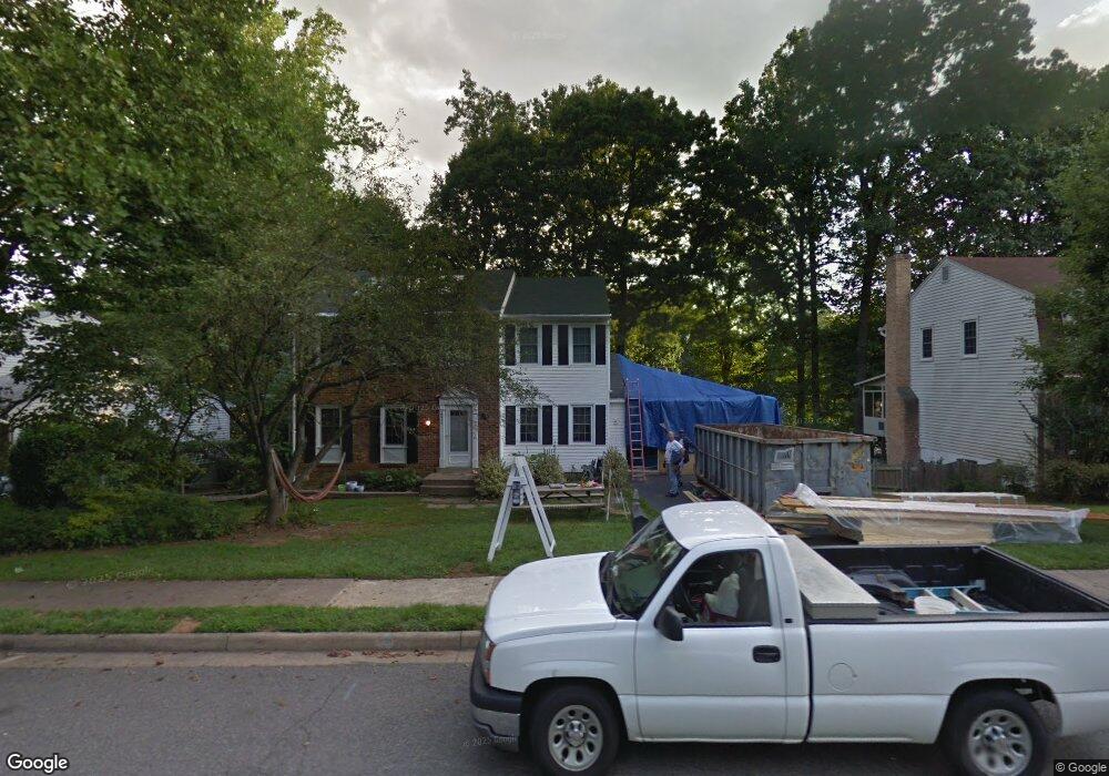
4927 King David Blvd Annandale, VA 22003
Estimated Value: $949,000 - $1,010,323
4
Beds
4
Baths
2,509
Sq Ft
$389/Sq Ft
Est. Value
About This Home
This home is located at 4927 King David Blvd, Annandale, VA 22003 and is currently estimated at $976,331, approximately $389 per square foot. 4927 King David Blvd is a home located in Fairfax County with nearby schools including Canterbury Woods Elementary School, Frost Middle School, and W. T. Woodson High School.
Ownership History
Date
Name
Owned For
Owner Type
Purchase Details
Closed on
Jul 17, 2003
Sold by
Goldstein Irene S
Bought by
Jacobs Michael A
Current Estimated Value
Home Financials for this Owner
Home Financials are based on the most recent Mortgage that was taken out on this home.
Original Mortgage
$322,700
Outstanding Balance
$138,023
Interest Rate
5.34%
Mortgage Type
New Conventional
Estimated Equity
$838,308
Create a Home Valuation Report for This Property
The Home Valuation Report is an in-depth analysis detailing your home's value as well as a comparison with similar homes in the area
Home Values in the Area
Average Home Value in this Area
Purchase History
We collect this data history from publicly available records. To have your information removed, we recommend requesting removal directly through your county’s website.
| Date | Buyer | Sale Price | Title Company |
|---|---|---|---|
| Jacobs Michael A | $452,000 | -- |
Source: Public Records
Mortgage History
We collect this data history from publicly available records. To have your information removed, we recommend requesting removal directly through your county’s website.
| Date | Status | Borrower | Loan Amount |
|---|---|---|---|
| Open | Jacobs Michael A | $322,700 |
Source: Public Records
Tax History
| Year | Tax Paid | Tax Assessment Tax Assessment Total Assessment is a certain percentage of the fair market value that is determined by local assessors to be the total taxable value of land and additions on the property. | Land | Improvement |
|---|---|---|---|---|
| 2025 | $10,677 | $942,010 | $315,000 | $627,010 |
| 2024 | $10,677 | $921,660 | $300,000 | $621,660 |
| 2023 | $9,321 | $825,950 | $280,000 | $545,950 |
| 2022 | $8,654 | $756,810 | $260,000 | $496,810 |
| 2021 | $8,328 | $709,670 | $250,000 | $459,670 |
| 2020 | $7,836 | $662,110 | $241,000 | $421,110 |
| 2019 | $7,525 | $635,840 | $227,000 | $408,840 |
| 2018 | $6,978 | $606,820 | $206,000 | $400,820 |
| 2017 | $7,045 | $606,820 | $206,000 | $400,820 |
| 2016 | $6,767 | $584,130 | $206,000 | $378,130 |
Source: Public Records
Map
Nearby Homes
- 4821 King Solomon Dr
- 4819 Tabard Place
- 4949 Sabra Ln
- 5141 Bradfield Dr
- 5125 King David Blvd
- 4625 Valerie Ct
- 4839 Red Fox Dr
- 4616 Briar Patch Ct
- 9380 Colbert Ct
- 5222 Bradfield Dr
- 5224 Bradfield Dr
- 4701 Red Fox Dr
- 9518 Heathwood Ct
- 5303 Dunleigh Ct
- 4721 Pickett Rd
- 8933 Burke Lake Rd
- 4867 Nash Dr
- 8704 Margaret Ln
- 4317 Selkirk Dr
- 5218 Olley Ln
- 4929 King David Blvd
- 4923 King David Blvd
- 4915 King David Blvd
- 4900 Loosestrife Ct
- 5001 King David Blvd
- 4926 King David Blvd
- 4917 King David Blvd
- 9200 Alyssum Way
- 4924 King David Blvd
- 4902 Loosestrife Ct
- 4913 King David Blvd
- 4922 King David Blvd
- 5003 King David Blvd
- 4901 Loosestrife Ct
- 4920 King David Blvd
- 4906 Loosestrife Ct
- 4911 King David Blvd
- 9202 Alyssum Way
- 9201 Alyssum Way
- 4918 King David Blvd
Your Personal Tour Guide
Ask me questions while you tour the home.