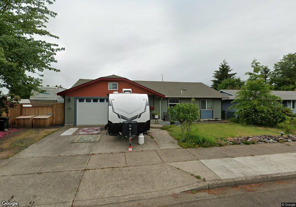
4927 Parsons Ave Eugene, OR 97402
Bethel NeighborhoodEstimated Value: $417,000 - $418,000
3
Beds
2
Baths
1,506
Sq Ft
$277/Sq Ft
Est. Value
About This Home
This home is located at 4927 Parsons Ave, Eugene, OR 97402 and is currently estimated at $417,688, approximately $277 per square foot. 4927 Parsons Ave is a home located in Lane County with nearby schools including Prairie Mountain School and Willamette High School.
Ownership History
Date
Name
Owned For
Owner Type
Purchase Details
Closed on
Dec 19, 2014
Sold by
Harvey Joseph and Winbolt Donna
Bought by
Clark William C and Clark Lisa M
Current Estimated Value
Home Financials for this Owner
Home Financials are based on the most recent Mortgage that was taken out on this home.
Original Mortgage
$170,079
Outstanding Balance
$130,286
Interest Rate
4%
Mortgage Type
VA
Estimated Equity
$287,402
Purchase Details
Closed on
Feb 19, 2009
Sold by
Graham Kathleen M
Bought by
Harvey Joseph and Winbolt Donna
Create a Home Valuation Report for This Property
The Home Valuation Report is an in-depth analysis detailing your home's value as well as a comparison with similar homes in the area
Home Values in the Area
Average Home Value in this Area
Purchase History
We collect this data history from publicly available records. To have your information removed, we recommend requesting removal directly through your county’s website.
| Date | Buyer | Sale Price | Title Company |
|---|---|---|---|
| Clark William C | $166,500 | First American Title | |
| Harvey Joseph | $48,000 | First American Title Ins Co |
Source: Public Records
Mortgage History
We collect this data history from publicly available records. To have your information removed, we recommend requesting removal directly through your county’s website.
| Date | Status | Borrower | Loan Amount |
|---|---|---|---|
| Open | Clark William C | $170,079 |
Source: Public Records
Tax History
| Year | Tax Paid | Tax Assessment Tax Assessment Total Assessment is a certain percentage of the fair market value that is determined by local assessors to be the total taxable value of land and additions on the property. | Land | Improvement |
|---|---|---|---|---|
| 2025 | $3,335 | $191,728 | -- | -- |
| 2024 | $3,251 | $186,144 | -- | -- |
| 2023 | $3,251 | $180,723 | $0 | $0 |
| 2022 | $3,026 | $175,460 | $0 | $0 |
| 2021 | $2,962 | $170,350 | $0 | $0 |
| 2020 | $2,876 | $165,389 | $0 | $0 |
| 2019 | $2,735 | $160,572 | $0 | $0 |
| 2018 | $2,658 | $151,355 | $0 | $0 |
| 2017 | $2,540 | $151,355 | $0 | $0 |
| 2016 | $2,476 | $146,947 | $0 | $0 |
| 2015 | $2,427 | $142,667 | $0 | $0 |
| 2014 | $2,390 | $138,512 | $0 | $0 |
Source: Public Records
Map
Nearby Homes
- 4943 Parsons Ave
- 4985 Cone Ave
- 4900 Royal Ave Unit 105
- 4900 Royal Ave Unit SP13
- 4900 Royal Ave Unit 32
- 4900 Royal Ave Unit 13 Av
- 601 St Charles St
- 648 Oakwood Dr
- 658 Saint Charles St
- 683 Saint Charles St
- 771 Woodland Acres Ln
- 5275 Forest Ln
- 749 St Charles St
- 857 Throne Dr
- 5320 Royal Ave
- 555 N Danebo Ave Unit 72
- 4749 Royal Ave
- 1199 N Terry St Unit 259
- 1199 N Terry St Unit 309
- 1199 N Terry St Unit SP282
- 4931 Parsons Ave
- 4933 Parsons Ave
- 4929 Parsons Ave
- 4932 Cone Ave
- 4930 Cone Ave
- 4935 Parsons Ave
- 4947 Parsons Ave
- 4934 Cone Ave
- 4925 Parsons Ave
- 4949 Parsons Ave
- 4945 Parsons Ave
- 4937 Parsons Ave
- 4928 Cone Ave
- 4930 Parsons Ave
- 4928 Parsons Ave
- 4940 Parsons Ave
- 4923 Parsons Ave
- 4940 Cone Ave
- 4953 Parsons Ave
- 4936 Cone Ave
Your Personal Tour Guide
Ask me questions while you tour the home.