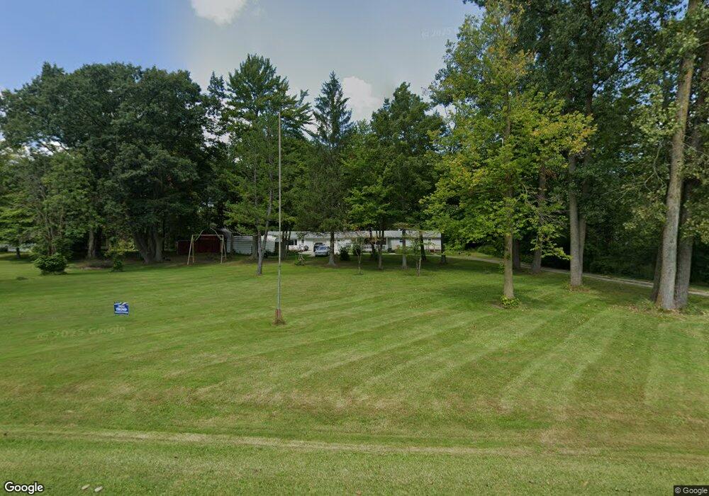
4936 Howard Rd Kimball, MI 48074
Estimated Value: $211,000 - $239,000
4
Beds
3
Baths
2,180
Sq Ft
$104/Sq Ft
Est. Value
About This Home
This home is located at 4936 Howard Rd, Kimball, MI 48074 and is currently estimated at $227,313, approximately $104 per square foot. 4936 Howard Rd is a home located in St. Clair County with nearby schools including Kimball Elementary School, Central Middle School, and Port Huron High School.
Ownership History
Date
Name
Owned For
Owner Type
Purchase Details
Closed on
Jan 27, 2023
Sold by
Bennett Cynthia A
Bought by
Bennett Cynthia A and Cynthia A Bennett Revocable Trust
Current Estimated Value
Purchase Details
Closed on
Jun 14, 2022
Sold by
Bennett Cynthia A
Bought by
Bennett Cynthia A
Create a Home Valuation Report for This Property
The Home Valuation Report is an in-depth analysis detailing your home's value as well as a comparison with similar homes in the area
Home Values in the Area
Average Home Value in this Area
Purchase History
We collect this data history from publicly available records. To have your information removed, we recommend requesting removal directly through your county’s website.
| Date | Buyer | Sale Price | Title Company |
|---|---|---|---|
| Bennett Cynthia A | -- | None Listed On Document | |
| Bennett Cynthia A | -- | Kelly Law Firm |
Source: Public Records
Tax History
| Year | Tax Paid | Tax Assessment Tax Assessment Total Assessment is a certain percentage of the fair market value that is determined by local assessors to be the total taxable value of land and additions on the property. | Land | Improvement |
|---|---|---|---|---|
| 2025 | $1,689 | $79,800 | $0 | $0 |
| 2024 | $1,638 | $76,600 | $0 | $0 |
| 2023 | $1,523 | $73,100 | $0 | $0 |
| 2022 | $2,261 | $67,800 | $0 | $0 |
| 2020 | $2,085 | $59,200 | $59,200 | $0 |
| 2019 | $2,052 | $57,600 | $0 | $0 |
| 2018 | $2,106 | $62,400 | $0 | $0 |
| 2017 | $2,221 | $68,100 | $0 | $0 |
| 2016 | $1,545 | $68,100 | $0 | $0 |
| 2015 | -- | $69,200 | $69,200 | $0 |
| 2014 | -- | $97,600 | $97,600 | $0 |
| 2013 | -- | $89,800 | $0 | $0 |
Source: Public Records
Map
Nearby Homes
- 00 Howard Rd
- 0 Allen Rd Unit 20250008612
- 4602 Howard Rd
- 4761 Lapeer Rd
- 0 Lapeer Rd Unit 50137357
- 0000 Range Rd
- 1918 Harvey Rd
- 2482 Range Rd
- 4654 Davidson Rd
- 1782 Maple Rd
- V/L Allen
- 2396 Wadhams Rd
- 0 Wadhams Rd Unit 50155021
- 1908 Range Rd
- 0 Wall Rd Unit 50185999
- 1405 Range Rd
- 5080 Dove Rd
- 1792 Meadowlark Ln
- 4118 Griswold Rd
- 00 Range Rd
Your Personal Tour Guide
Ask me questions while you tour the home.