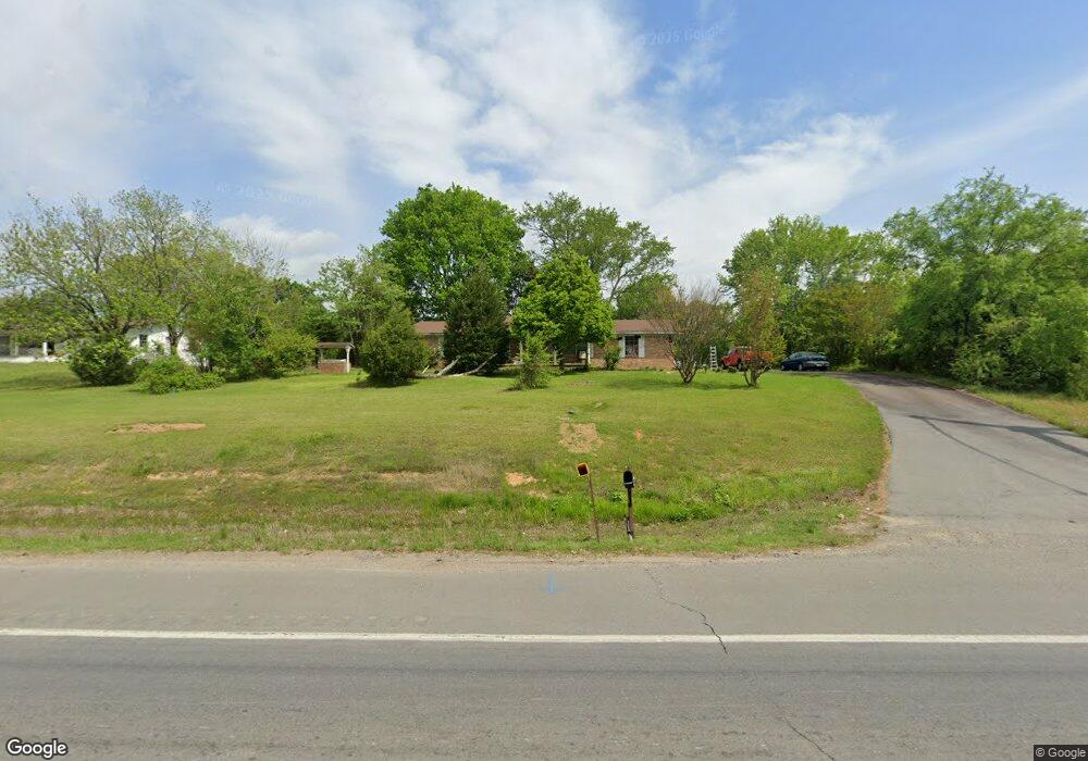
495 Highway 64 E Conway, AR 72032
Estimated Value: $236,000 - $277,000
About This Home
This home is located at 495 Highway 64 E, Conway, AR 72032 and is currently estimated at $256,268, approximately $107 per square foot. 495 Highway 64 E is a home located in Faulkner County with nearby schools including Vilonia Junior High School and Vilonia High School.
Ownership History
We collect this data history from publicly available records. To have your information removed, we recommend requesting removal directly through your county’s website.
Purchase Details
Home Financials for this Owner
Home Financials are based on the most recent Mortgage that was taken out on this home.Purchase Details
Home Financials for this Owner
Home Financials are based on the most recent Mortgage that was taken out on this home.Purchase Details
Home Financials for this Owner
Home Financials are based on the most recent Mortgage that was taken out on this home.Purchase Details
Home Financials for this Owner
Home Financials are based on the most recent Mortgage that was taken out on this home.Home Values in the Area
Average Home Value in this Area
Purchase History
We collect this data history from publicly available records. To have your information removed, we recommend requesting removal directly through your county’s website.
| Date | Buyer | Sale Price | Title Company |
|---|---|---|---|
| -- | None Listed On Document | ||
| $123,000 | Lenders Title Company | ||
| $107,000 | -- | ||
| $104,000 | Lenders Title Co | ||
| $107,000 | -- |
Mortgage History
We collect this data history from publicly available records. To have your information removed, we recommend requesting removal directly through your county’s website.
| Date | Status | Borrower | Loan Amount |
|---|---|---|---|
| Previous Owner | $178,062 | ||
| Previous Owner | $125,510 | ||
| Previous Owner | $103,500 |
Tax History
We collect this data history from publicly available records. To have your information removed, we recommend requesting removal directly through your county’s website.
| Year | Tax Paid | Tax Assessment Tax Assessment Total Assessment is a certain percentage of the fair market value that is determined by local assessors to be the total taxable value of land and additions on the property. | Land | Improvement |
|---|---|---|---|---|
| 2025 | $1,347 | $49,970 | $2,660 | $47,310 |
| 2024 | $1,353 | $49,970 | $2,660 | $47,310 |
| 2023 | $1,353 | $35,500 | $2,660 | $32,840 |
| 2022 | $1,028 | $35,500 | $2,660 | $32,840 |
| 2021 | $1,028 | $35,500 | $2,660 | $32,840 |
| 2020 | $1,028 | $28,840 | $1,850 | $26,990 |
| 2019 | $1,018 | $28,840 | $1,850 | $26,990 |
| 2018 | $1,043 | $28,840 | $1,850 | $26,990 |
| 2017 | $984 | $28,840 | $1,850 | $26,990 |
| 2016 | $925 | $25,630 | $1,850 | $23,780 |
| 2015 | $1,177 | $24,410 | $1,850 | $22,560 |
| 2014 | $867 | $24,410 | $1,850 | $22,560 |
Map
- 3 Big Oak Rd
- 14 Shoemaker Cir
- 9 Palmer Dr
- 20 Joshua Cir
- 3 Joshua Cir
- 5 Ruth Dr
- 000 Rooster Rd
- 53 Oak Tree Cir
- 89 Sunny Gap Rd
- 4 Huckleberry Rd
- 154 Roden Mill Rd
- 14 Eagle Crest Dr
- 14 Rolling Creek Cir
- 31A Rolling Creek Cir
- 11 Jackie Ln
- Tract 4 Rooster Rd
- Tract 6 Rooster Rd
- Tract 5 Rooster Rd
- Tract 12 Rooster Rd
- 13 Agarita Cove
Ask me questions while you tour the home.