4950 Dunlap Rd Columbus, OH 43229
Forest Park East NeighborhoodEstimated Value: $245,000 - $255,000
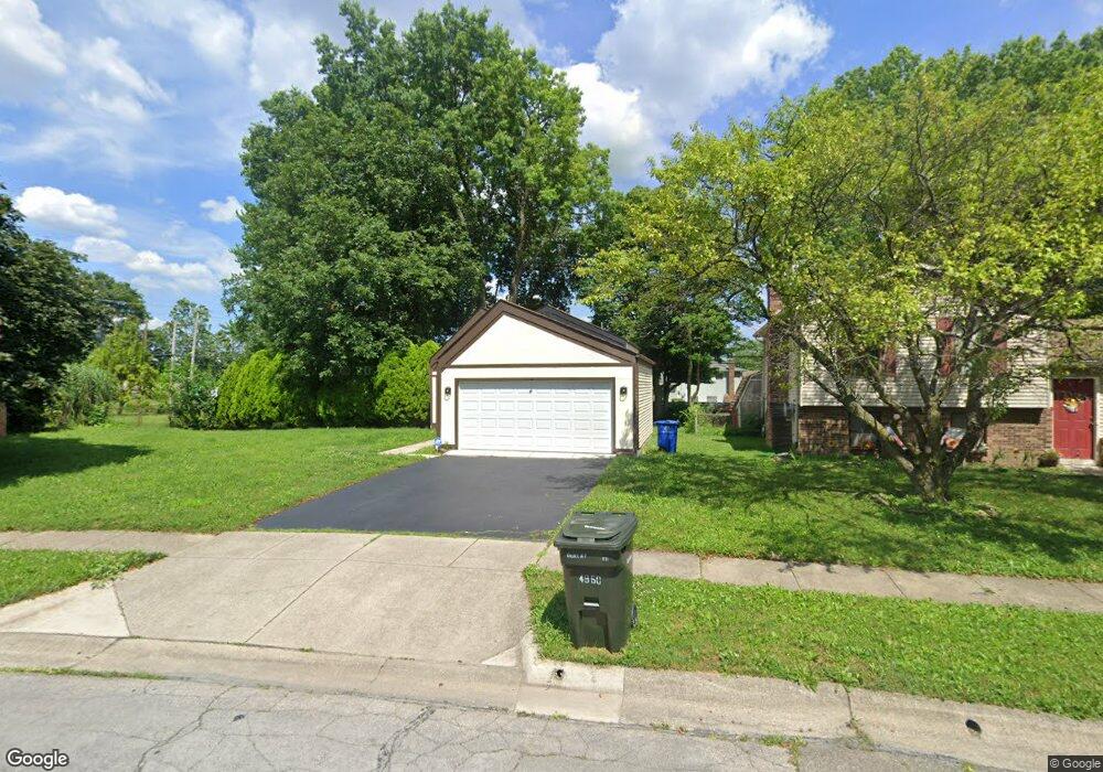
About This Home
This home is located at 4950 Dunlap Rd, Columbus, OH 43229 and is currently estimated at $250,910, approximately $202 per square foot. 4950 Dunlap Rd is a home located in Franklin County with nearby schools including Northtowne Elementary School, Woodward Park Middle School, and Northland High School.
Ownership History
We collect this data history from publicly available records. To have your information removed, we recommend requesting removal directly through your county’s website.
Purchase Details
Purchase Details
Purchase Details
Purchase Details
Home Values in the Area
Average Home Value in this Area
Purchase History
We collect this data history from publicly available records. To have your information removed, we recommend requesting removal directly through your county’s website.
| Date | Buyer | Sale Price | Title Company |
|---|---|---|---|
| $68,100 | Golden Title | ||
| $68,100 | Golden Title | ||
| $65,300 | -- | ||
| $12,500 | -- |
Tax History
We collect this data history from publicly available records. To have your information removed, we recommend requesting removal directly through your county’s website.
| Year | Tax Paid | Tax Assessment Tax Assessment Total Assessment is a certain percentage of the fair market value that is determined by local assessors to be the total taxable value of land and additions on the property. | Land | Improvement |
|---|---|---|---|---|
| 2025 | $3,064 | $66,860 | $22,300 | $44,560 |
| 2024 | $3,064 | $66,860 | $22,300 | $44,560 |
| 2023 | $3,026 | $66,860 | $22,300 | $44,560 |
| 2022 | $2,364 | $44,490 | $13,550 | $30,940 |
| 2021 | $2,369 | $44,490 | $13,550 | $30,940 |
| 2020 | $2,315 | $44,490 | $13,550 | $30,940 |
| 2019 | $2,172 | $35,810 | $10,850 | $24,960 |
| 2018 | $2,082 | $35,810 | $10,850 | $24,960 |
| 2017 | $2,171 | $35,810 | $10,850 | $24,960 |
| 2016 | $2,199 | $33,190 | $8,650 | $24,540 |
| 2015 | $1,996 | $33,190 | $8,650 | $24,540 |
| 2014 | $2,001 | $33,190 | $8,650 | $24,540 |
| 2013 | $1,039 | $34,930 | $9,100 | $25,830 |
Map
- 1944 Coghill Dr
- 1859 Tamarack Ct S
- 2229 Waldorf Rd
- 2224 Kilbourne Ave
- 4958 Shadycrest Rd
- 2166 Blackoak Ave
- 5090 Avalon Ave
- 5016 Julie Place
- 5330 Torchwood Loop W
- 5151 Avalon Ave
- 5232 Karl Rd
- 1638 Arrowood Loop N
- 2405 Strimple Ave
- 4730 Edinburgh Ln
- 1485 Norma Rd
- 1862 Torchwood Dr
- 4710 Larkhall Ln
- 5320 Hazelwood Rd
- 5446 Blue Ash Rd
- 2392 Minerva Park Place
- 4949 Dunlap Rd
- 1941 Denise Dr
- 4933 Dunlap Rd
- 1933 Denise Dr
- 1944 Judwick Dr
- 1966 Denise Dr
- 4944 Dunlap Rd
- 1960 Denise Dr
- 1960 Denise Dr Unit L43
- 4938 Dunlap Rd
- 1936 Judwick Dr
- 0 Denise Dr
- 1923 Denise Dr
- 1928 Judwick Dr
- 1948 Denise Dr
- 1940 Denise Dr
- 4922 Dunlap Rd
- 1932 Denise Dr
- 1920 Judwick Dr
- 1915 Denise Dr
Ask me questions while you tour the home.