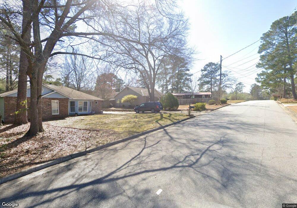
4952 Stonegate Dr Columbus, GA 31909
North Columbus NeighborhoodEstimated Value: $198,000 - $211,000
3
Beds
3
Baths
1,510
Sq Ft
$135/Sq Ft
Est. Value
About This Home
This home is located at 4952 Stonegate Dr, Columbus, GA 31909 and is currently estimated at $203,550, approximately $134 per square foot. 4952 Stonegate Dr is a home located in Muscogee County with nearby schools including Waddell Elementary School, Midland Middle School, and Shaw High School.
Ownership History
Date
Name
Owned For
Owner Type
Purchase Details
Closed on
Jan 31, 2008
Sold by
Carlson Robert F
Bought by
Nunley Michael B and Galloway Jennifer L
Current Estimated Value
Home Financials for this Owner
Home Financials are based on the most recent Mortgage that was taken out on this home.
Original Mortgage
$134,000
Outstanding Balance
$84,788
Interest Rate
6.12%
Mortgage Type
Purchase Money Mortgage
Estimated Equity
$118,762
Create a Home Valuation Report for This Property
The Home Valuation Report is an in-depth analysis detailing your home's value as well as a comparison with similar homes in the area
Home Values in the Area
Average Home Value in this Area
Purchase History
We collect this data history from publicly available records. To have your information removed, we recommend requesting removal directly through your county’s website.
| Date | Buyer | Sale Price | Title Company |
|---|---|---|---|
| Nunley Michael B | $144,000 | None Available |
Source: Public Records
Mortgage History
We collect this data history from publicly available records. To have your information removed, we recommend requesting removal directly through your county’s website.
| Date | Status | Borrower | Loan Amount |
|---|---|---|---|
| Open | Nunley Michael B | $134,000 |
Source: Public Records
Tax History
| Year | Tax Paid | Tax Assessment Tax Assessment Total Assessment is a certain percentage of the fair market value that is determined by local assessors to be the total taxable value of land and additions on the property. | Land | Improvement |
|---|---|---|---|---|
| 2025 | $174 | $63,620 | $10,076 | $53,544 |
| 2024 | $1,739 | $63,620 | $10,076 | $53,544 |
| 2023 | $2,506 | $63,620 | $10,076 | $53,544 |
| 2022 | $2,079 | $50,928 | $10,076 | $40,852 |
| 2021 | $1,886 | $46,188 | $10,076 | $36,112 |
| 2020 | $1,886 | $46,188 | $10,076 | $36,112 |
| 2019 | $1,892 | $46,188 | $10,076 | $36,112 |
| 2018 | $1,892 | $46,188 | $10,076 | $36,112 |
| 2017 | $1,822 | $46,188 | $10,076 | $36,112 |
| 2016 | $1,830 | $57,643 | $4,898 | $52,745 |
| 2015 | $1,833 | $57,643 | $4,898 | $52,745 |
| 2014 | $1,836 | $57,643 | $4,898 | $52,745 |
| 2013 | -- | $57,643 | $4,898 | $52,745 |
Source: Public Records
Map
Nearby Homes
- 5106 Willowbrook Dr
- 5829 Dearborn Ave
- 5918 Fornof Rd
- 6128 King William Dr
- 5423 Holland Dr
- 5600 Jamestown Dr
- 5225 Woodsey Way
- 6030 Old Dominion Rd
- 5019 McCaghren Dr
- 6225 Olde Towne Dr
- 4824 Sterling Dr
- 6370 Schomburg Rd
- 6475 Cove Creek Ct
- 6528 Yellow Stone Ct
- 6166 Independence Dr
- 5318 Lakeshore Rd
- 6001 Warm Springs Ct
- 6033 Warm Springs Ct
- 5045 Old Post Rd
- 5514 Rockhurst Dr
- 4960 Stonegate Dr
- 5948 Dearborn Ave
- 5958 Dearborn Ave
- 5012 Stonegate Dr
- 5936 Dearborn Ave
- 5020 Stonegate Dr
- 4959 Stonegate Dr
- 5028 Stonegate Dr
- 5932 Dearborn Ave
- 4963 Stonegate Dr
- 4951 Stonegate Dr
- 5990 Highpoint Dr
- 5011 Stonegate Dr
- 4943 Stonegate Dr
- 5937 Dearborn Ave
- 5001 Stonegate Dr
- 5019 Stonegate Dr
- 5005 Stonegate Dr
- 5034 Stonegate Dr
- 5982 Highpoint Dr
Your Personal Tour Guide
Ask me questions while you tour the home.