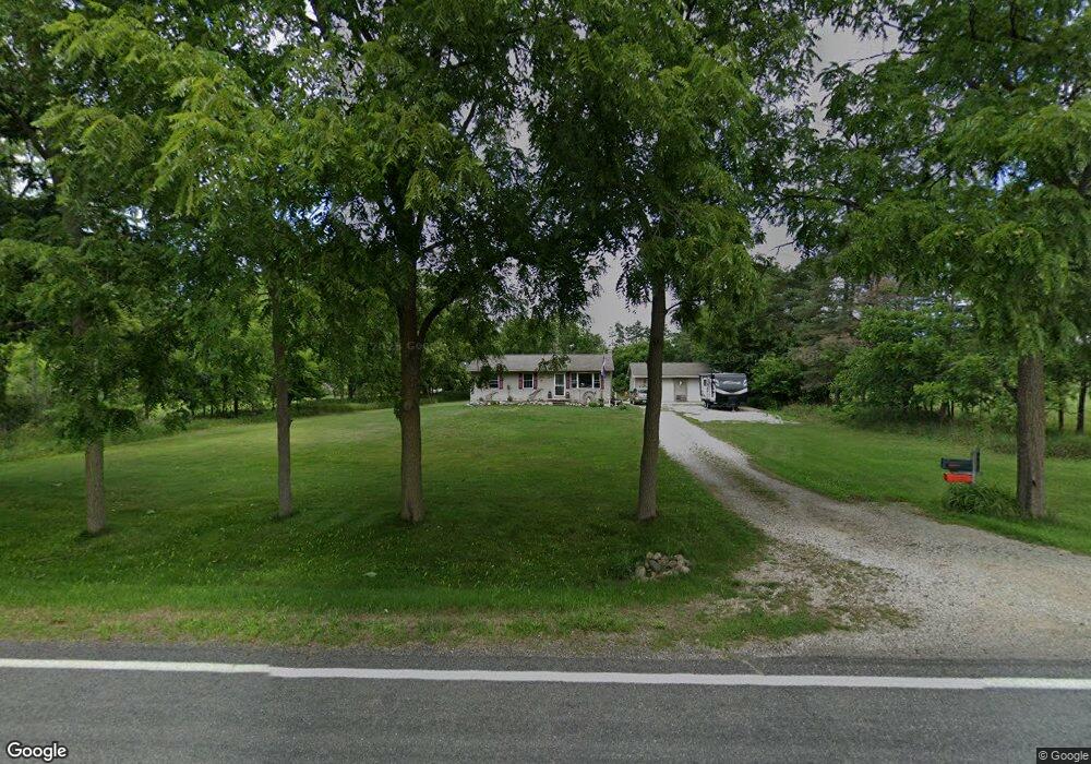
4952 W Lowe Rd Saint Johns, MI 48879
Estimated Value: $163,683 - $327,000
Studio
1
Bath
960
Sq Ft
$246/Sq Ft
Est. Value
About This Home
This home is located at 4952 W Lowe Rd, Saint Johns, MI 48879 and is currently estimated at $236,171, approximately $246 per square foot. 4952 W Lowe Rd is a home located in Clinton County with nearby schools including St. Johns High School.
Ownership History
Date
Name
Owned For
Owner Type
Purchase Details
Closed on
Aug 4, 2006
Sold by
Verhougstraete Brian and Verhougstraete Amy
Bought by
Berg Jeffrey G
Current Estimated Value
Home Financials for this Owner
Home Financials are based on the most recent Mortgage that was taken out on this home.
Original Mortgage
$102,400
Outstanding Balance
$60,170
Interest Rate
6.85%
Mortgage Type
Purchase Money Mortgage
Estimated Equity
$176,001
Purchase Details
Closed on
Mar 27, 2003
Sold by
Norwest Mortgage Inc
Bought by
First Union National Bank
Create a Home Valuation Report for This Property
The Home Valuation Report is an in-depth analysis detailing your home's value as well as a comparison with similar homes in the area
Purchase History
| Date | Buyer | Sale Price | Title Company |
|---|---|---|---|
| Berg Jeffrey G | $128,000 | None Available | |
| First Union National Bank | -- | Fatic |
Source: Public Records
Mortgage History
| Date | Status | Borrower | Loan Amount |
|---|---|---|---|
| Open | Berg Jeffrey G | $102,400 |
Source: Public Records
Tax History
| Year | Tax Paid | Tax Assessment Tax Assessment Total Assessment is a certain percentage of the fair market value that is determined by local assessors to be the total taxable value of land and additions on the property. | Land | Improvement |
|---|---|---|---|---|
| 2025 | $1,224 | $79,600 | $14,000 | $65,600 |
| 2024 | $5 | $74,300 | $11,500 | $62,800 |
| 2023 | $520 | $66,600 | $0 | $0 |
| 2022 | $1,107 | $63,100 | $10,000 | $53,100 |
| 2021 | $1,075 | $57,500 | $9,000 | $48,500 |
| 2020 | $1,042 | $54,300 | $8,000 | $46,300 |
| 2019 | $992 | $48,600 | $7,500 | $41,100 |
| 2018 | $969 | $47,800 | $7,500 | $40,300 |
| 2017 | -- | $47,900 | $7,500 | $40,400 |
| 2016 | $938 | $45,100 | $6,100 | $39,000 |
| 2015 | -- | $43,300 | $0 | $0 |
| 2011 | -- | $41,800 | $0 | $0 |
Source: Public Records
Map
Nearby Homes
- 5550 Paxton Rd
- 0 W Colony Unit 286993
- 0 W Colony Unit 292916
- 3575 W Maple Rapids Rd
- 8095 Mcintosh Rd
- 8150 Idared Rd
- 7240 Empire Rd
- 8843 N Dewitt Rd
- TBD E Main St
- 132 E Washington St
- 129 E Main St
- 3445 W County Line Rd
- 220 N Maple Ave
- 1103 Kelcrasta Dr
- 606 W Gibbs St
- 509 W Gibbs St
- 608 N Morton St
- 905 W Gibbs St Unit 28
- 609 N Morton St Unit 13
- 609 N Morton St Unit 80
- 5050 W Lowe Rd
- 4914 W Lowe Rd
- 4900 W Lowe Rd
- 4864 W Lowe Rd
- 4836 W Lowe Rd
- 4940 W Lowe Rd
- 4817 W Lowe Rd
- 4758 W Lowe Rd
- 5150 W Lowe Rd
- 5200 W Lowe Rd
- 4733 W Lowe Rd
- 5313 W Lowe Rd
- 5308 W Lowe Rd
- 4676 W Lowe Rd
- 5671 N Mcneil Rd
- 5462 W Lowe Rd
- 5700 Findlay Rd
- 5863 N Mcneil Rd
- 5722 Findlay Rd
- 5786 Findlay Rd
Your Personal Tour Guide
Ask me questions while you tour the home.